Surveying accurately

Spectra Precision says that its EPOCH 35 system benefits from the latest GPS and GLONASS technology to provide accurate cadastral, topographic, control and stakeout survey applications. Said to be reliable and cost-effective, the EPOCH 35 GNSS system includes a base, rover, field software, data collector, and radio. The rover features integrated Bluetooth capability, an internal radio modem and battery. For North America, the system operates with the proven TDS Survey Pro field software while for other mark
July 18, 2012 Read time: 1 min
Riegl's sophisticated V-Line range includes interfaces for GPS, networking and mobile operation together with high precision time stamping
2373 Spectra Precision says that its EPOCH 35 system benefits from the latest GPS and GLONASS technology to provide accurate cadastral, topographic, control and stakeout survey applications. Said to be reliable and cost-effective, the EPOCH 35 GNSS system includes a base, rover, field software, data collector, and radio. The rover features integrated Bluetooth capability, an internal radio modem and battery. For North America, the system operates with the proven TDS Survey Pro field software while for other markets, the system runs the Spectra Precision Field Surveyor package. For RTK surveying, the base system can include a choice of radio modems with either a long or short range data link from the base to the rover. In addition, Network RTK is also supported by simply connecting to an external data-capable cellular modem. Back at the office, surveyors can use the Spectra Precision Office Software for post-processing and quality control.

For more information on companies in this article

Related Content

  • GPS machine control systems reduce survey time
    February 14, 2012
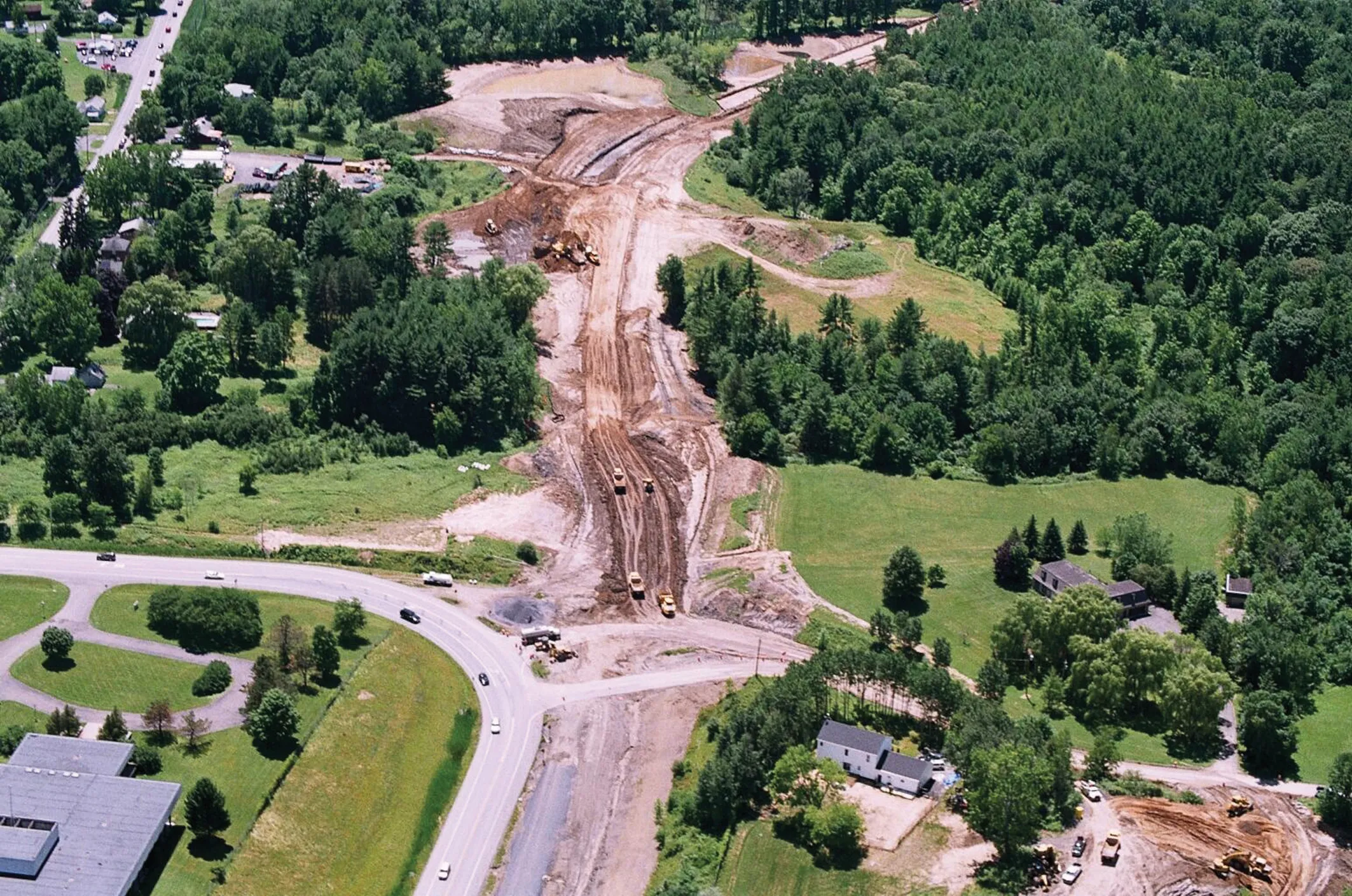
    Innovative uses are being made of GPS technology, Mike Woof reports. US firms Creighton Manning Engineering and Delaney Construction have made a novel use of GPS technology in a project for the Route 85 Slingerlands bypass extension in the US.
  • Sophisticated machine telematics packages offered
    September 27, 2013
    Several of the major equipment manufacturers now offer sophisticated telematics packages fitted as standard to their machines. Caterpillar and Komatsu were amongst the leaders in this field, allowing a high level of access to a machine's systems and sub-systems for performance monitoring, maintenance management and geofencing purposes for example. To the customer this offers the chance to address fleet running costs and utilisation, reduce the risk of theft and increase overall efficiency. Customers can eve
  • Leica Vivo portfolio expansion
    February 18, 2013
    Leica Geosystems has expanded its Leica Viva portfolio with the Leica Viva GS14, said to be an exceptional and deployment versatile GNSS receiver. The Viva GS14 has a compact design with integrated communication devices. Along with the dependable GNSS RTK, the Viva GS14 is said to deliver complete confidence and knowledge in results. Useable as a robust yet lightweight rover and as a base station, Leica’s new GNSS receiver allows users to gain speed and efficiency by reducing the number of setups and contro
  • Optimising operations with construction software gains
    May 20, 2015
    Innovations in construction software are helping boost project efficiency and optimising project operations – Clive Davidson writes Over the past decade, while construction engineers have been putting up buildings or infrastructure, software engineers have been developing a parallel universe where virtual buildings or infrastructure can be created in ever increasing detail. What started with 2D architectural drawings in computer-aided design (CAD) systems, has become a multi-dimensional world, with 3D ge