Surveying accurately

Spectra Precision says that its EPOCH 35 system benefits from the latest GPS and GLONASS technology to provide accurate cadastral, topographic, control and stakeout survey applications. Said to be reliable and cost-effective, the EPOCH 35 GNSS system includes a base, rover, field software, data collector, and radio. The rover features integrated Bluetooth capability, an internal radio modem and battery. For North America, the system operates with the proven TDS Survey Pro field software while for other mark
July 18, 2012 Read time: 1 min
Riegl's sophisticated V-Line range includes interfaces for GPS, networking and mobile operation together with high precision time stamping
2373 Spectra Precision says that its EPOCH 35 system benefits from the latest GPS and GLONASS technology to provide accurate cadastral, topographic, control and stakeout survey applications. Said to be reliable and cost-effective, the EPOCH 35 GNSS system includes a base, rover, field software, data collector, and radio. The rover features integrated Bluetooth capability, an internal radio modem and battery. For North America, the system operates with the proven TDS Survey Pro field software while for other markets, the system runs the Spectra Precision Field Surveyor package. For RTK surveying, the base system can include a choice of radio modems with either a long or short range data link from the base to the rover. In addition, Network RTK is also supported by simply connecting to an external data-capable cellular modem. Back at the office, surveyors can use the Spectra Precision Office Software for post-processing and quality control.

For more information on companies in this article

Related Content

  • AibotX6 Version 2 uses High Precision GNSS
    January 19, 2016
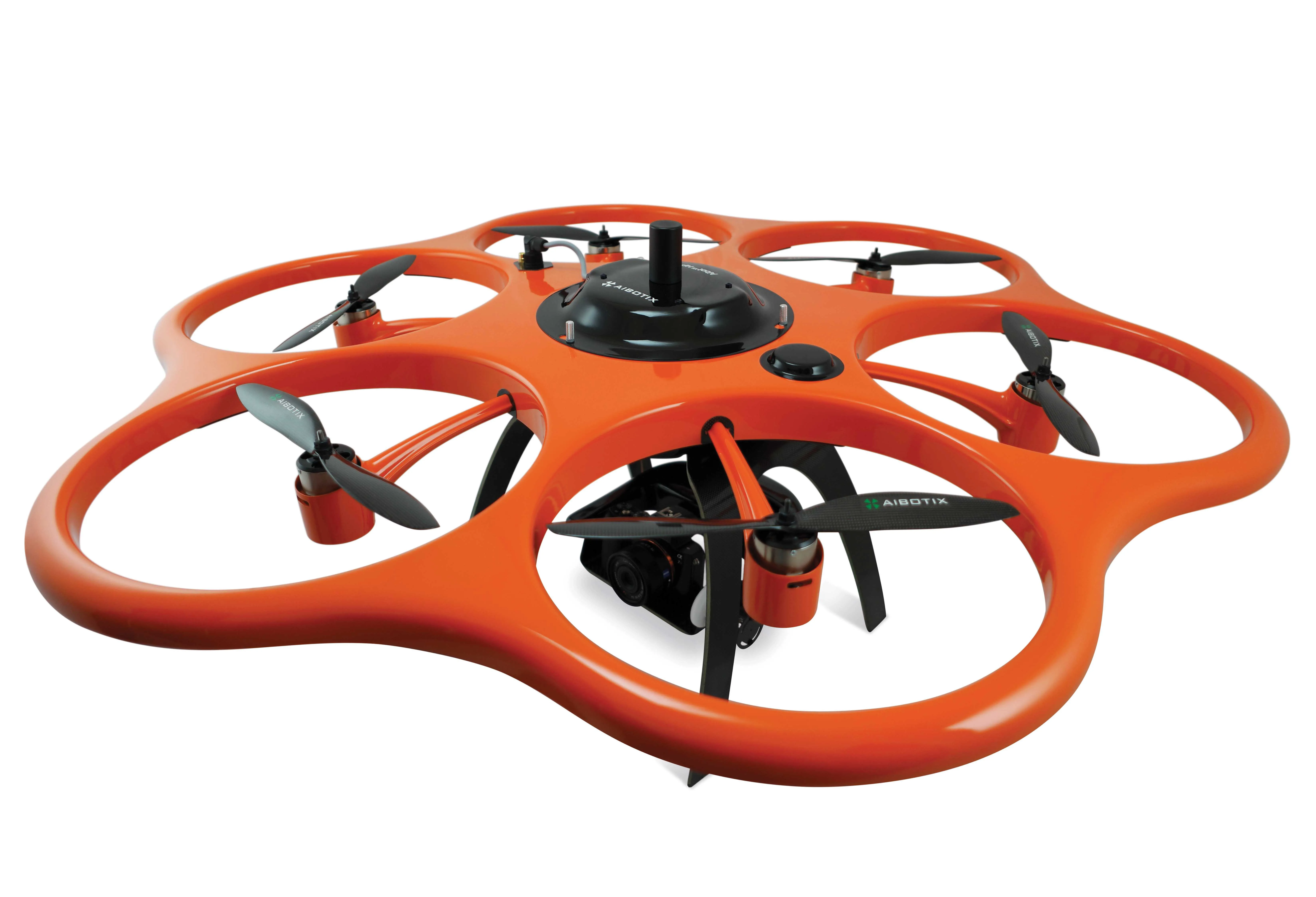
    Kassel-based company Aibotix has presented a solution for high-precision surveying with Version 2 of its tried and tested surveying hexacopter AibotX6: High Precision GNSS. Aibotix, based in Kassel, in the middle of Germany, develops and manufactures multi-copters for applications in the industrial sector. The company's name is a combination of Ai for artificial intelligence and botix for robotics.
  • Intermat innovation for machine control systems
    June 23, 2015
    Improving technologies for machine control systems continue to deliver increases in efficiency for contractors - Mike Woof writes Machine control technologies have continued to develop as the specialist suppliers in this fiercely fought sector seek to find a competitive advantage over their rivals. The key players, Leica Geosystems, MOBA, Topcon and Trimble, have all been pushing the boundaries with their latest technologies. Although the systems these firms are introducing are aimed at a number of differen
  • More satellites, more signals
    July 20, 2012
    Greater GPS accuracy suggests closer tolerances for surveying and machine control functions What happens in the future for GPS surveying and machine control could depend on satellite choice and signals. Right now there are around 30 satellites in orbit, largely built by the US, but by 2012 that could rise to 120 as Europe, China, India and Russia fully enter the market. A chequered history has faced the European's Galileo system. At long last, the finance appears to be in place and the European Commission a
  • New tablet solution for Leica Geosystems
    December 12, 2018
    Leica Geosystems is now using the rugged ZX70 Android tablet from Getac as the hardware for its new Leica Zeno GG04 plus Tablet Solution. The new partnership allows Leica Geosystems to bring geospatial data collection capabilities to customers in all terrains and weather conditions such as utilities, public services, transportation and construction. Leica Geosystems has developed a range of new software and hardware including its Zeno Mobile data collection app and Zeno GG04 plus smart antenna to capture a