Surveying accurately

Spectra Precision says that its EPOCH 35 system benefits from the latest GPS and GLONASS technology to provide accurate cadastral, topographic, control and stakeout survey applications. Said to be reliable and cost-effective, the EPOCH 35 GNSS system includes a base, rover, field software, data collector, and radio. The rover features integrated Bluetooth capability, an internal radio modem and battery. For North America, the system operates with the proven TDS Survey Pro field software while for other mark
July 18, 2012 Read time: 1 min
Riegl's sophisticated V-Line range includes interfaces for GPS, networking and mobile operation together with high precision time stamping
2373 Spectra Precision says that its EPOCH 35 system benefits from the latest GPS and GLONASS technology to provide accurate cadastral, topographic, control and stakeout survey applications. Said to be reliable and cost-effective, the EPOCH 35 GNSS system includes a base, rover, field software, data collector, and radio. The rover features integrated Bluetooth capability, an internal radio modem and battery. For North America, the system operates with the proven TDS Survey Pro field software while for other markets, the system runs the Spectra Precision Field Surveyor package. For RTK surveying, the base system can include a choice of radio modems with either a long or short range data link from the base to the rover. In addition, Network RTK is also supported by simply connecting to an external data-capable cellular modem. Back at the office, surveyors can use the Spectra Precision Office Software for post-processing and quality control.

For more information on companies in this article

Related Content

  • Trimble offering sophisticated package of solutions
    February 2, 2015
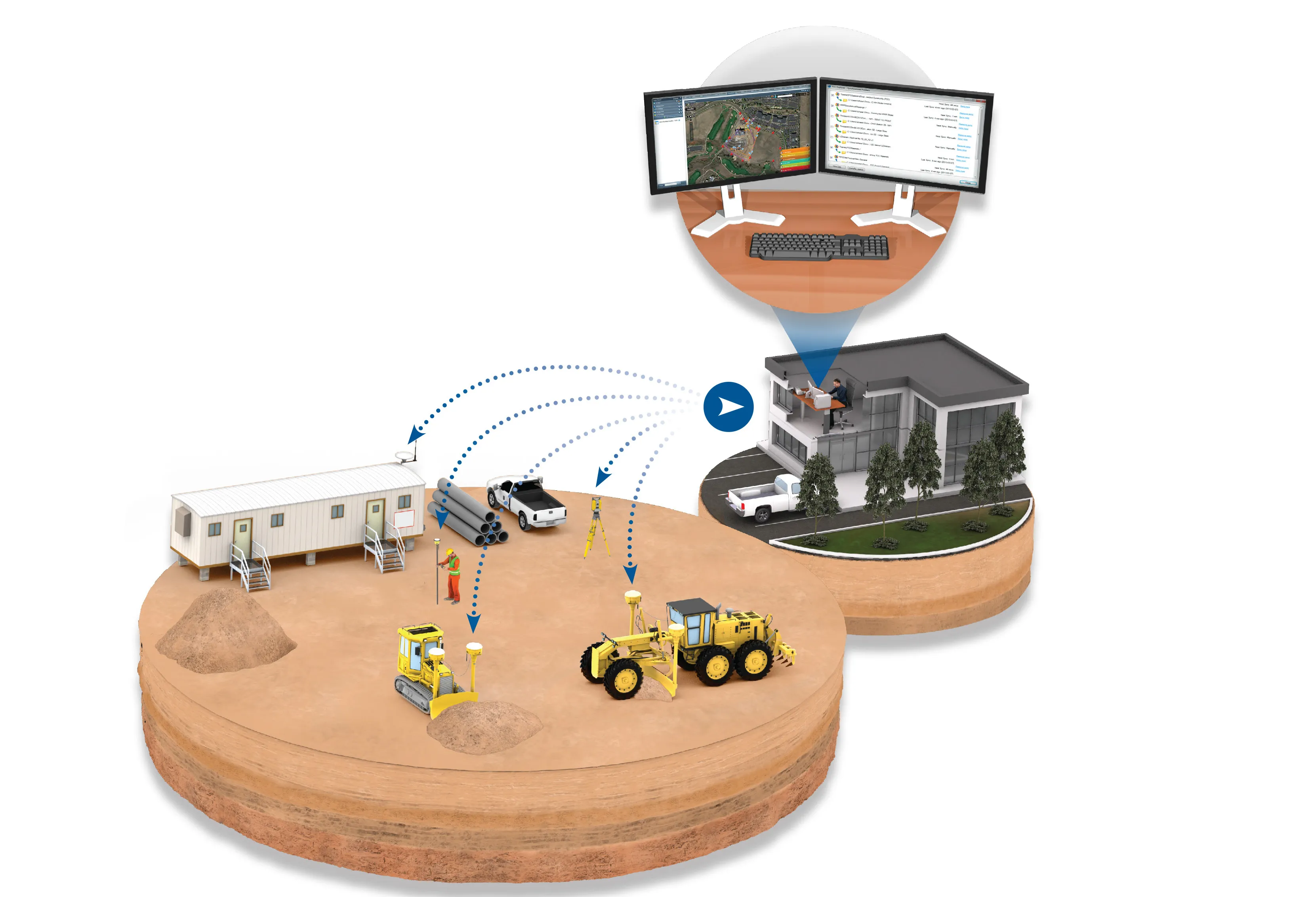
    Trimble says that its latest Connected Site solutions offer improved efficiency for connecting workers, machines and projects across the planning, design and construction lifecycle. These technologies suit use by heavy civil contactors and site preparation contractors. Trimble’s mix of hardware, software and mobility technologies streamlines communication and collaboration throughout the construction lifecycle, from planning, design and site preparation through to the finished project. Connecting people
  • Trimble offering sophisticated package of solutions
    January 6, 2017
    Trimble says that its latest Connected Site solutions offer improved efficiency for connecting workers, machines and projects across the planning, design and construction lifecycle. These technologies suit use by heavy civil contactors and site preparation contractors. Trimble’s mix of hardware, software and mobility technologies streamlines communication and collaboration throughout the construction lifecycle, from planning, design and site preparation through to the finished project. Connecting people
  • Wirtgen now offers a sophisticated 3D paver control system
    January 6, 2017
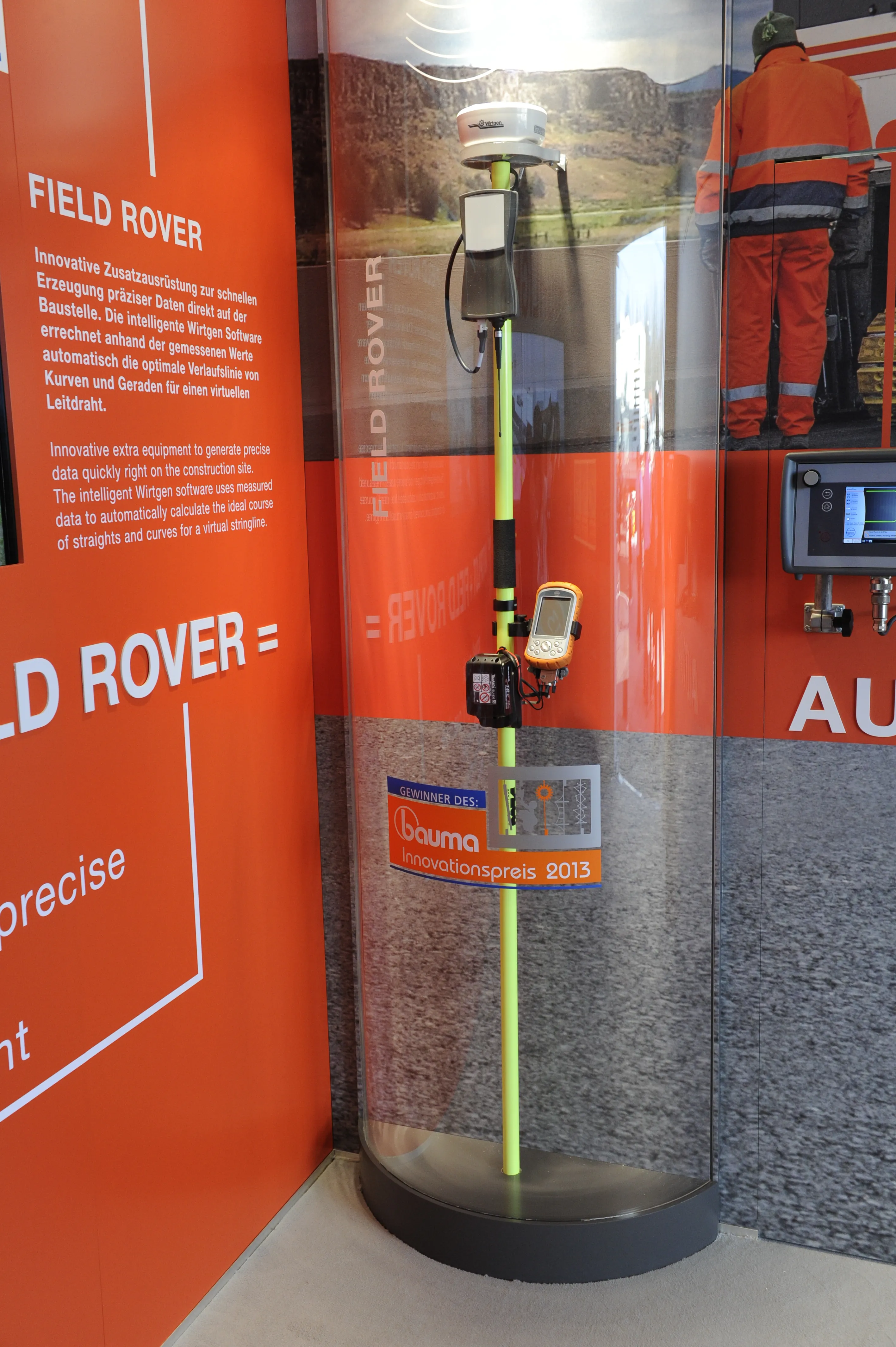
    Wirtgen is introducing its latest AutoPilot Field Rover system which allows fully automatic, stringline-free concrete paving and allows jobs to be carried out more easily, quickly and economically. The system is more efficient than using conventional stringlines and is faster also and its 3D control system comprises a computer integrated into the machine and a control panel. Two GPS receivers mounted on the machine communicate with a GPS reference station on the job site. A digital terrain model is not requ
  • Wirtgen now offers a sophisticated 3D paver control system
    January 30, 2013
    Wirtgen is introducing its latest AutoPilot Field Rover system which allows fully automatic, stringline-free concrete paving and allows jobs to be carried out more easily, quickly and economically. The system is more efficient than using conventional stringlines and is faster also and its 3D control system comprises a computer integrated into the machine and a control panel. Two GPS receivers mounted on the machine communicate with a GPS reference station on the job site. A digital terrain model is not requ