Surveying accurately

Spectra Precision says that its EPOCH 35 system benefits from the latest GPS and GLONASS technology to provide accurate cadastral, topographic, control and stakeout survey applications. Said to be reliable and cost-effective, the EPOCH 35 GNSS system includes a base, rover, field software, data collector, and radio. The rover features integrated Bluetooth capability, an internal radio modem and battery. For North America, the system operates with the proven TDS Survey Pro field software while for other mark
July 18, 2012 Read time: 1 min
Riegl's sophisticated V-Line range includes interfaces for GPS, networking and mobile operation together with high precision time stamping
2373 Spectra Precision says that its EPOCH 35 system benefits from the latest GPS and GLONASS technology to provide accurate cadastral, topographic, control and stakeout survey applications. Said to be reliable and cost-effective, the EPOCH 35 GNSS system includes a base, rover, field software, data collector, and radio. The rover features integrated Bluetooth capability, an internal radio modem and battery. For North America, the system operates with the proven TDS Survey Pro field software while for other markets, the system runs the Spectra Precision Field Surveyor package. For RTK surveying, the base system can include a choice of radio modems with either a long or short range data link from the base to the rover. In addition, Network RTK is also supported by simply connecting to an external data-capable cellular modem. Back at the office, surveyors can use the Spectra Precision Office Software for post-processing and quality control.

For more information on companies in this article

Related Content

  • New solutions for 3D concrete paving controls
    February 20, 2012
    In concrete paving, Leica Geosystems has long held the dominant position in the market for stringless 3D controls. The company's products are well-accepted by contractors and have been used on an array of machines from different manufacturers with a high degree of success in recent years. GOMACO has been working with Leica Geosystems for some time and the two companies set up a partnership recently. This combination technology and business relationship has seen the placement of personnel from Leica Geosyste
  • Technology and collaboration bring massive time savings
    December 2, 2021
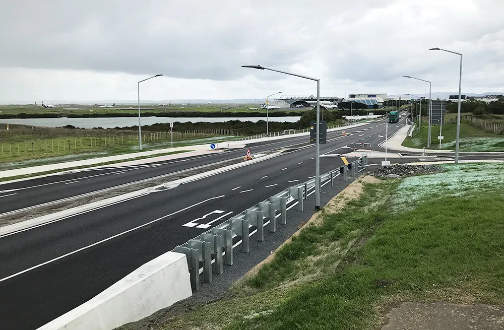
    The link between any major city and its airport is a crucial one. In Auckland, New Zealand, State Highway 20B connects the city of 1.6 million people with the rest of the nation and the international airport, one of only two roads leading there
  • New developments for soil compaction market
    March 6, 2015
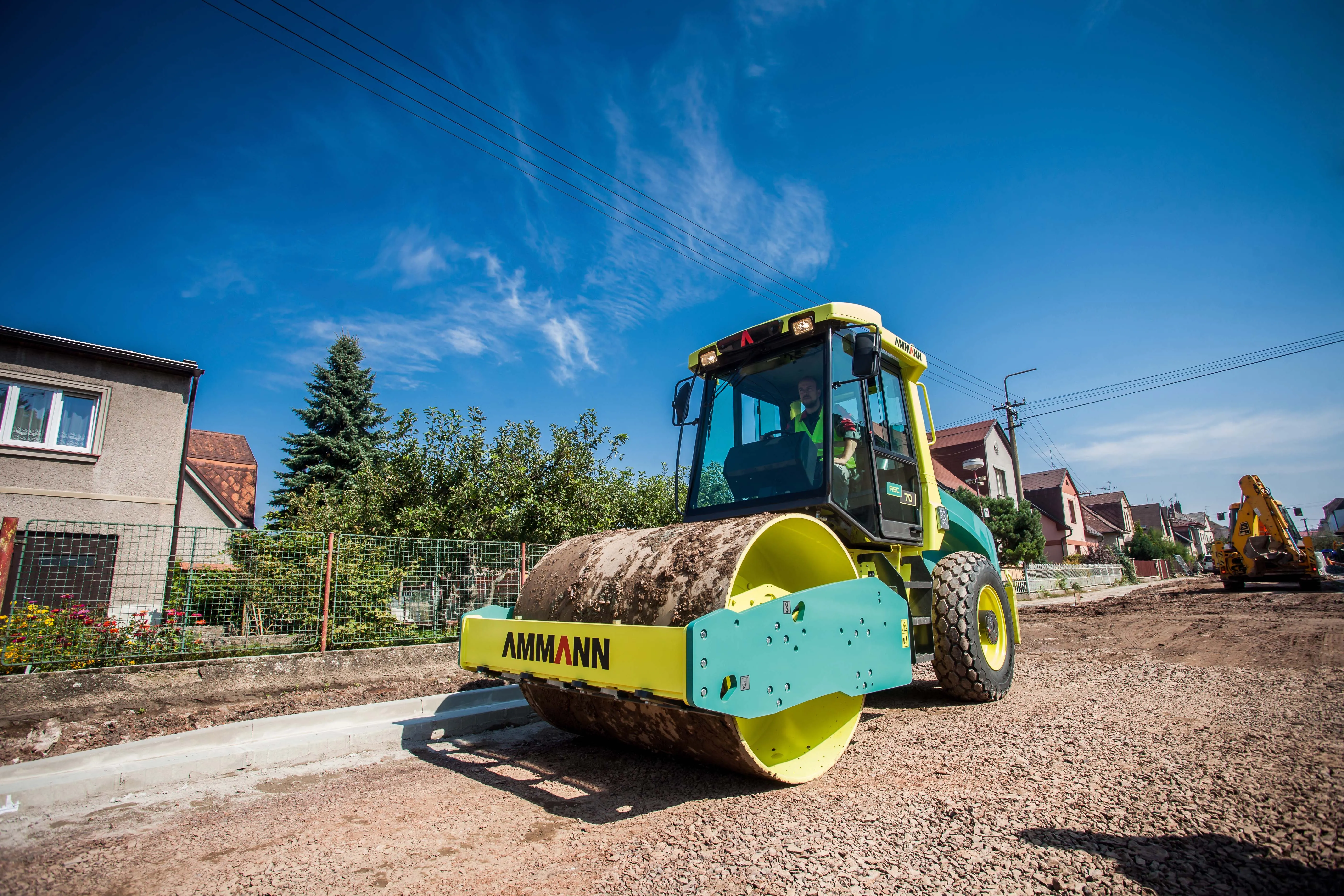
    New compaction machines will meet the latest emission standards for Europe and North America while firms from China are also competing globally - Mike Woof writes. The market for compaction equipment has become very competitive in recent years, most notably in the segment for soil compactors. The major US and European firms have developed more productive machines for use in both developed and developing markets. Meanwhile Chinese manufacturers are also competing in the soil compaction segment for the local
  • Milling efficiently with machine control
    July 11, 2018
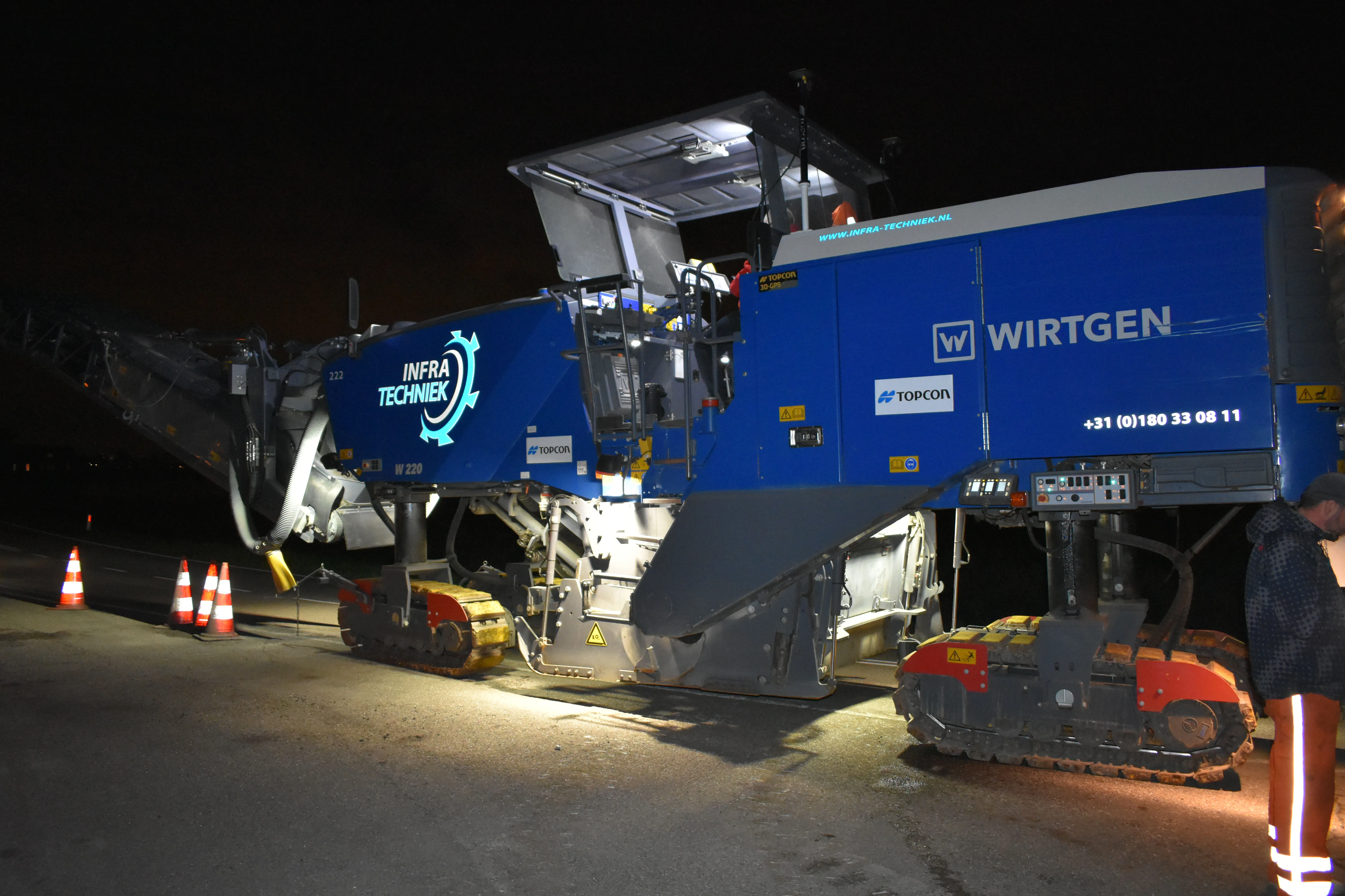
    A contractor in the Netherlands has found that using Topcon’s latest machine control technology can deliver higher quality work at higher productivity The firm, Van Gelder, was looking for a solution to survey, mill and resurface a 7km length of the N518 to the island of Marken more quickly, more safely and more accurately. Together with Infra-Techniek, the company opted to use the latest package developed by Topcon for automatic milling. The N518 from Monnickendam is the only connecting road to the form