Smart vehicle tracking system from Colas and Iknaia

Colas and wireless systems technology specialist Iknaia have developed a sophisticated system that allows the real-time active management of diversion routes without recourse to ANPR technology. The Airscan package uses anonymous Wi-Fi and Bluetooth signals transmitted by visible devices in passing vehicles. Data is collected by sensors and relayed to variable messaging signs (VMS) which then advise road users in advance of potential delays and allow for strategic checks by maintenance teams. As part of
April 1, 2016 Read time: 2 mins
184 Colas and wireless systems technology specialist Iknaia have developed a sophisticated system that allows the real-time active management of diversion routes without recourse to ANPR technology.

The Airscan package uses anonymous Wi-Fi and Bluetooth signals transmitted by visible devices in passing vehicles. Data is collected by sensors and relayed to variable messaging signs (VMS) which then advise road users in advance of potential delays and allow for strategic checks by maintenance teams. As part of the system, Traffic Management (TM) teams are also issued with Bluetooth Low Energy (BLE) tags that can be used to monitor the location of teams by checking in staff as they pass sensors on their route.

The system was trialled successfully on the M3 motorway in the UK and will now be used elsewhere. This approach to active management of diversion routes will continue to operate on the M3 smart motorway project and will be rolled out across other 8100 Highways England schemes to complement Intelligent Transport Systems strategies across the UK.

For more information on companies in this article

Related Content

  • Innovative traffic information technology used in Vancouver
    February 23, 2012
    As the world descended on Vancouver for the 2010 Winter Olympics, visitors were able to travel around the city with confidence and intelligence thanks to a landmark project by IRF Member, Delcan
  • Colas’s Yellow Project warns highway teams of collision risk
    November 7, 2017
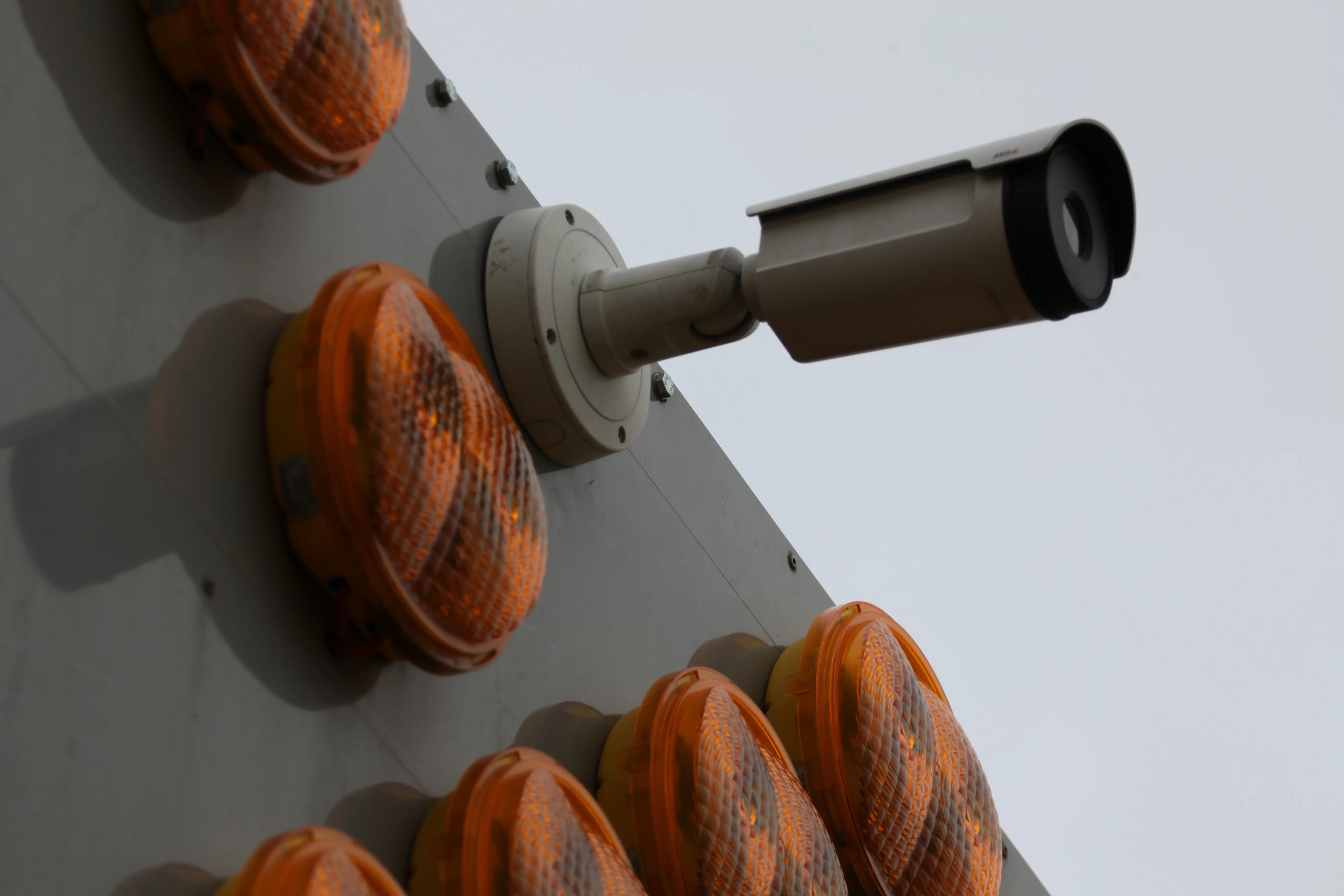
    Colas’s Yellow Project has been developed with Aximum Electronic Products - a Colas Group Company - and software experts Foxstream. The system uses thermal imaging and video analytics to detect and classify approaching vehicles into “threat categories”. It identifies those that pose the greatest collision risk with a highway works vehicle or nearby workers. The thermal camera is mounted at height on the rear of a works or emergency vehicle and performs in both dark conditions and full sunlight. It does not
  • Opsys launches ALTOS at Curiosity Lab
    November 18, 2024
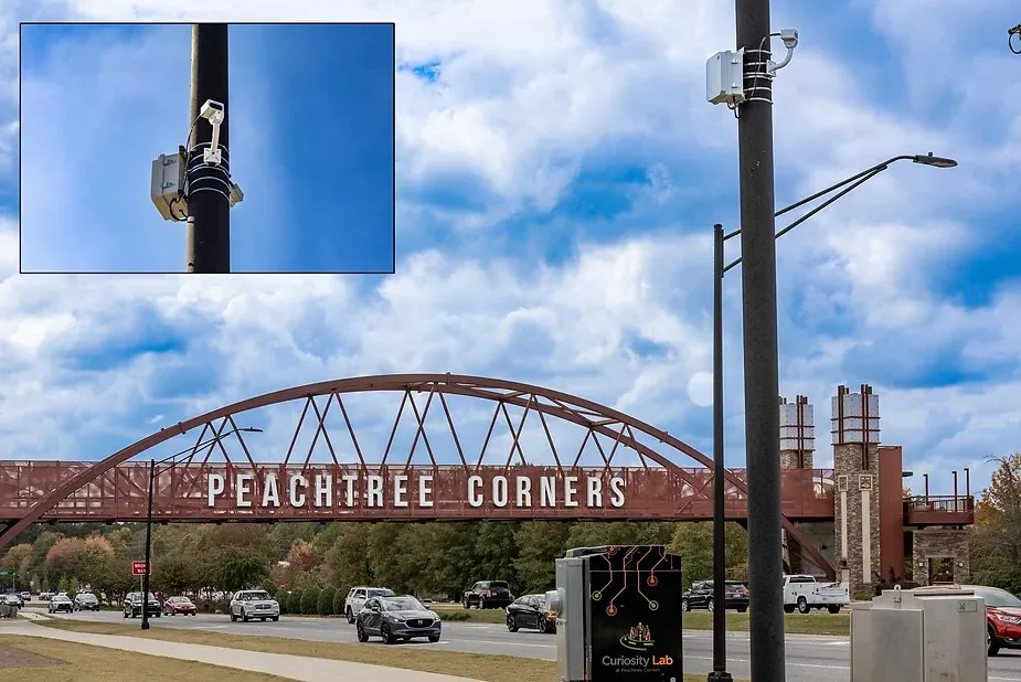
    Opsys said that, as a pure solid-state LiDAR, the ALTOS Gen 2 has no moving parts and will be deployed at Curiosity Lab in the US city of Peachtree Corners to provide real-time data on traffic flow and pedestrian movements.
  • Construction trends in North America, looking to the future
    June 10, 2019
    Exciting changes in construction will reward the aware contractor - *Jeff Winke comments Hop in a car and drive anywhere in the US and chances are the drive will be on roads and highways that need patching, resurfacing, or widening, and bridges often show signs of needed maintenance. Sadly, things are in bad shape. On the last two report cards from the American Society of Civil Engineers, the US infrastructure scored a D+. This year’s report urges the government and private sector to increase spending