Smart vehicle tracking system from Colas and Iknaia

Colas and wireless systems technology specialist Iknaia have developed a sophisticated system that allows the real-time active management of diversion routes without recourse to ANPR technology. The Airscan package uses anonymous Wi-Fi and Bluetooth signals transmitted by visible devices in passing vehicles. Data is collected by sensors and relayed to variable messaging signs (VMS) which then advise road users in advance of potential delays and allow for strategic checks by maintenance teams. As part of
April 1, 2016 Read time: 2 mins
184 Colas and wireless systems technology specialist Iknaia have developed a sophisticated system that allows the real-time active management of diversion routes without recourse to ANPR technology.

The Airscan package uses anonymous Wi-Fi and Bluetooth signals transmitted by visible devices in passing vehicles. Data is collected by sensors and relayed to variable messaging signs (VMS) which then advise road users in advance of potential delays and allow for strategic checks by maintenance teams. As part of the system, Traffic Management (TM) teams are also issued with Bluetooth Low Energy (BLE) tags that can be used to monitor the location of teams by checking in staff as they pass sensors on their route.

The system was trialled successfully on the M3 motorway in the UK and will now be used elsewhere. This approach to active management of diversion routes will continue to operate on the M3 smart motorway project and will be rolled out across other 8100 Highways England schemes to complement Intelligent Transport Systems strategies across the UK.

For more information on companies in this article

Related Content

  • Innovative GIS advances from Bluesky
    July 18, 2012
    Aerial survey specialist Bluesky is funding research into the development and use of a new system to map the UK’s cities and towns at night. Bluesky has teamed up with the University of Leicester to look at solutions using new high sensitivity camera sensor technology. Mounted on survey aircraft, the new system can record the location of street lights, illuminated road signs and other night-time sources of light. This can deliver an accurate resource for asset inventories, light pollution assessment and ene
  • Malaysia’s massive road building project is advancing the use of technology
    August 10, 2020
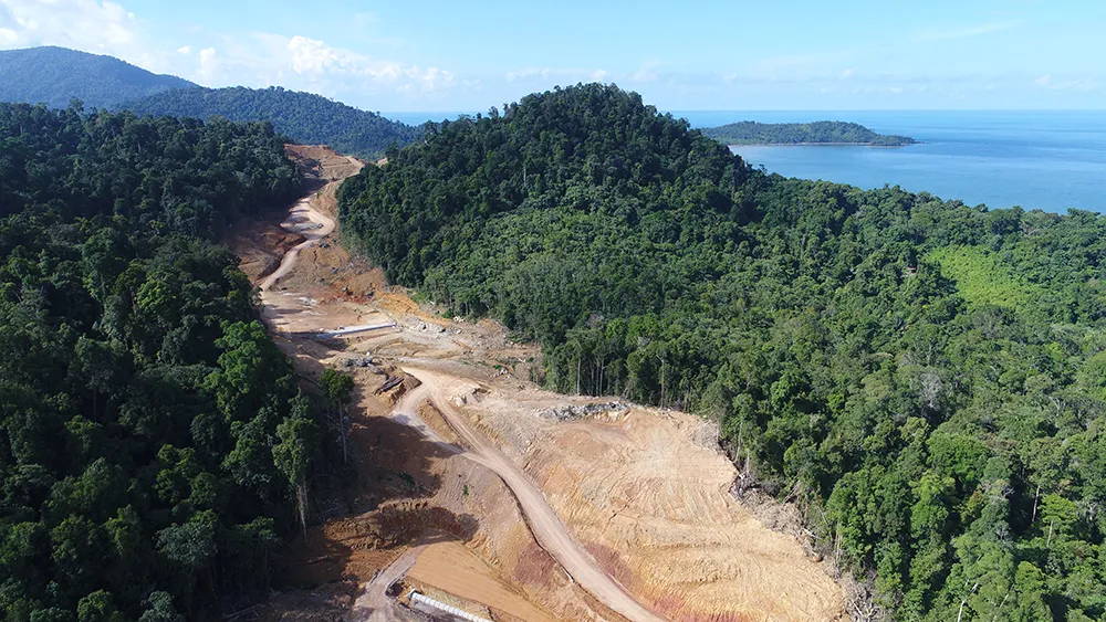
    Malaysia’s huge Pan Borneo Highway project is benefiting from the use of some of the latest technologies in its planning, design and construction
  • Accurate road surface analysis system from Telemotion
    August 13, 2014
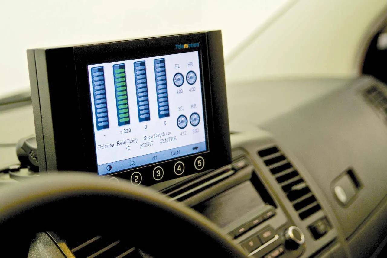
    A sophisticated road surface friction monitoring system is now being offered by Telemotion. This advanced Surface Friction System can capture real-time data on road surfaces for winter roads maintenance and warnings for drivers. The system operates on asphalt, concrete or snow, and even accurately calculates the depth of snow on the surface, as well as temperatures.
  • Houston TranStar wins award for travel monitoring
    April 30, 2012
    Houston TranStar has received the "2011 Digital Government Achievement Award" from the Center for Digital Government (government-to-government category). The award is for TranStar's cutting-edge Anonymous Wireless Address Matching travel time information system.