Colas and wireless systems technology specialist Iknaia have developed a sophisticated system that allows the real-time active management of diversion routes without recourse to ANPR technology.
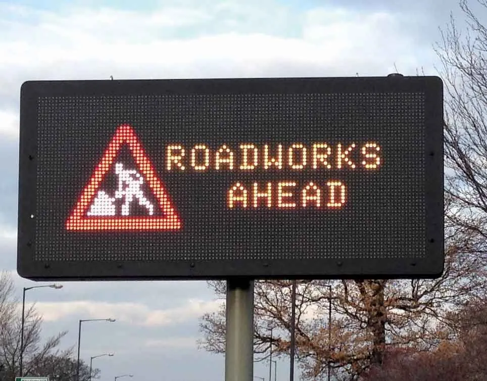
The Airscan package uses anonymous Wi-Fi and Bluetooth signals transmitted by visible devices in passing vehicles. Data is collected by sensors and relayed to variable messaging signs (VMS) which then advise road users in advance of potential delays and allow for strategic checks by maintenance teams. As part of
The Airscan package uses anonymous Wi-Fi and Bluetooth signals transmitted by visible devices in passing vehicles. Data is collected by sensors and relayed to variable messaging signs (VMS) which then advise road users in advance of potential delays and allow for strategic checks by maintenance teams. As part of the system, Traffic Management (TM) teams are also issued with Bluetooth Low Energy (BLE) tags that can be used to monitor the location of teams by checking in staff as they pass sensors on their route.
The system was trialled successfully on the M3 motorway in the UK and will now be used elsewhere. This approach to active management of diversion routes will continue to operate on the M3 smart motorway project and will be rolled out across other