Smart vehicle tracking system from Colas and Iknaia

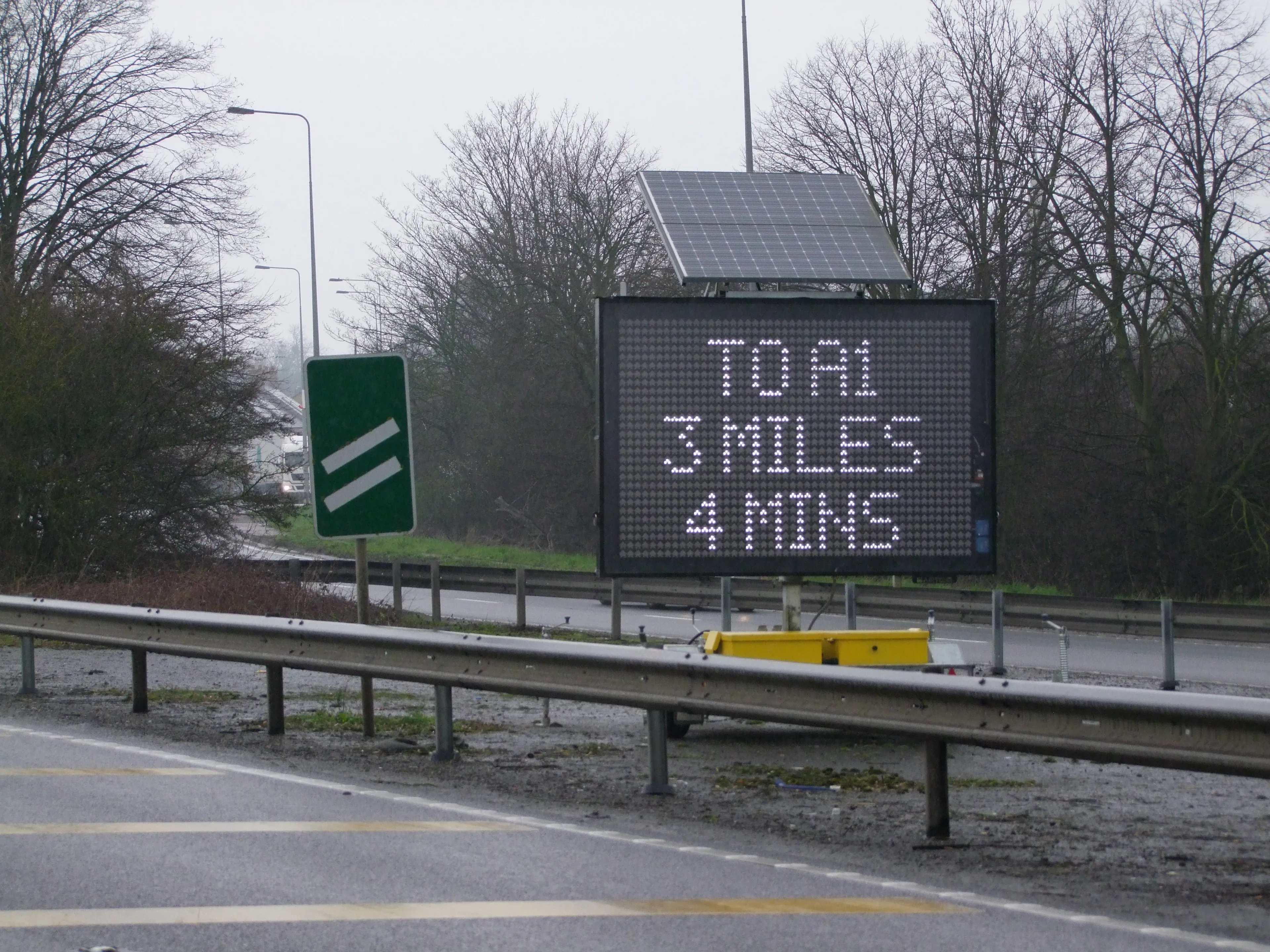
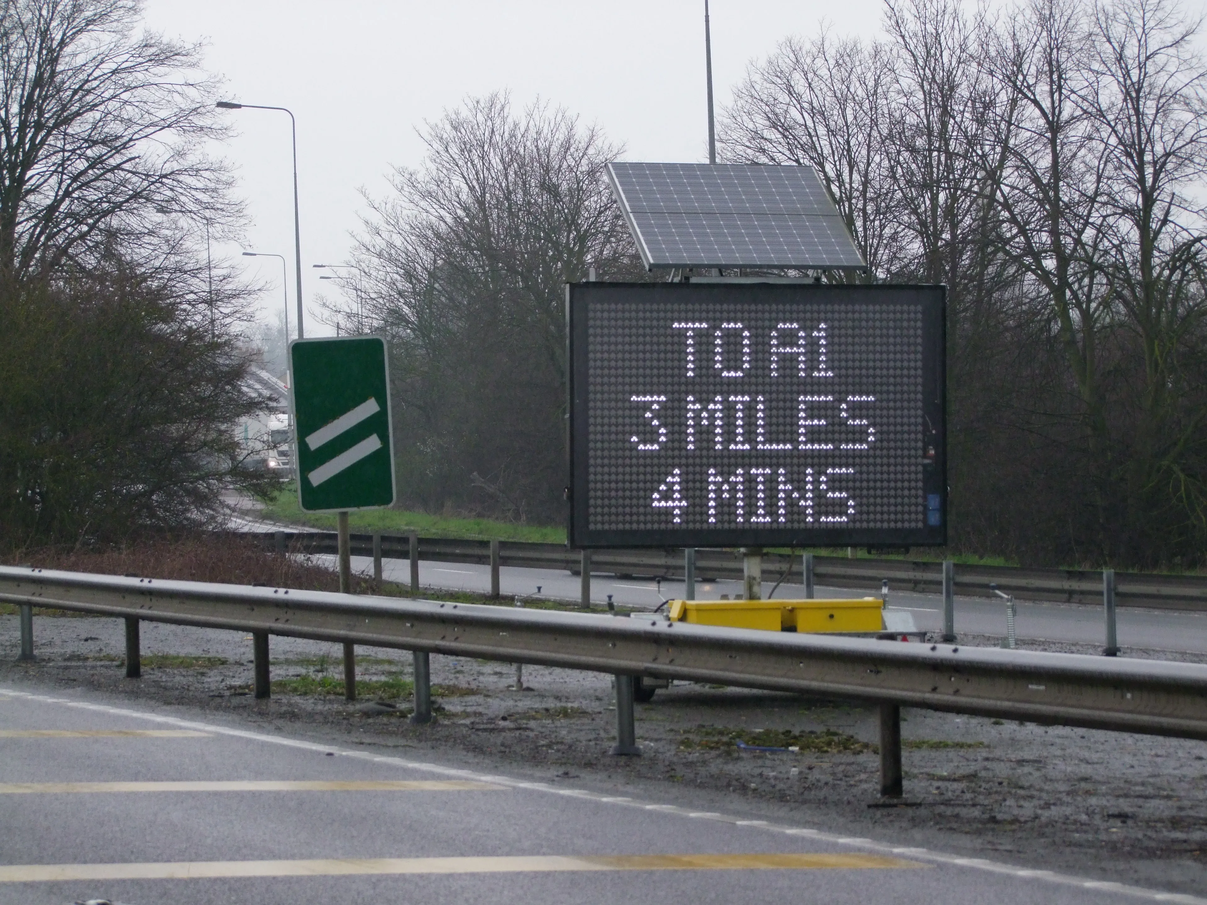
Colas and wireless systems technology specialist Iknaia have developed a sophisticated system that allows the real-time active management of diversion routes without recourse to ANPR technology. The Airscan package uses anonymous Wi-Fi and Bluetooth signals transmitted by visible devices in passing vehicles. Data is collected by sensors and relayed to variable messaging signs (VMS) which then advise road users in advance of potential delays and allow for strategic checks by maintenance teams. As part of
April 1, 2016 Read time: 2 mins
184 Colas and wireless systems technology specialist Iknaia have developed a sophisticated system that allows the real-time active management of diversion routes without recourse to ANPR technology.

The Airscan package uses anonymous Wi-Fi and Bluetooth signals transmitted by visible devices in passing vehicles. Data is collected by sensors and relayed to variable messaging signs (VMS) which then advise road users in advance of potential delays and allow for strategic checks by maintenance teams. As part of the system, Traffic Management (TM) teams are also issued with Bluetooth Low Energy (BLE) tags that can be used to monitor the location of teams by checking in staff as they pass sensors on their route.

The system was trialled successfully on the M3 motorway in the UK and will now be used elsewhere. This approach to active management of diversion routes will continue to operate on the M3 smart motorway project and will be rolled out across other 8100 Highways England schemes to complement Intelligent Transport Systems strategies across the UK.

For more information on companies in this article

Related Content

  • The era of workzone data
    July 4, 2018
    Portable work zone messaging is now integral - not an add-on - when it comes to safety on large-scale highway projects. Andrew Williams* reports. Portable work zone ITS solutions have emerged in recent years as important flexible tools for managing major roadwork projects, from new-build to upgrades. They effectively ensure traffic disruption is kept to a minimum and lives can be saved. As such, the technology forms a central component of a major €1.7 billion project in the southern English county of Cambr
  • Advanced vehicle monitoring technology
    February 15, 2012
    PIPS Technology has commissioned two Journey Time Measurement Systems (JTMS) in Gravesend and Tunbridge Wells for Kent Highway Services (KHS) in the UK. The JTMS locations consist of 34 Automatic Number Plate Recognition (ANPR) cameras and JTMS software all provided by PIPS Technology.
  • Advanced vehicle monitoring technology
    March 2, 2012
    PIPS Technology has commissioned two Journey Time Measurement Systems (JTMS) in Gravesend and Tunbridge Wells for Kent Highway Services (KHS) in the UK. The JTMS locations consist of 34 Automatic Number Plate Recognition (ANPR) cameras and JTMS software all provided by PIPS Technology.
  • Mobile Visual Information Systems’s DATEX on the A14 in the UK
    November 7, 2017
    Highways England has deployed an intelligent transport system that uses portable message signs to display real-time journey information from the National Traffic Operations Centre (NTOC). Mobile Visual Information Systems’s DATEX allows an average of 85,000 drivers daily on a 34km section of the A14 Cambridge-to-Huntingdon upgrade scheme to navigate roadworks. The scheme includes a new bypass, junction improvements, highway widening and creation of access road. The A14 Integrated Delivery Team, on behalf