Satellites for site safety

Mobexx is offering a satellite communications capability for its Mentor Ranger in-vehicle computer intended to improve lone worker safety. The system switches automatically between cellular and satellite networks depending on the available coverage. This package is said to maximise connectivity between site personnel and the office, providing improved monitoring and communication whenever they are operating in high risk situations or isolated sites. The new satellite interface allows the Work Alone system t
February 10, 2012 Read time: 2 mins
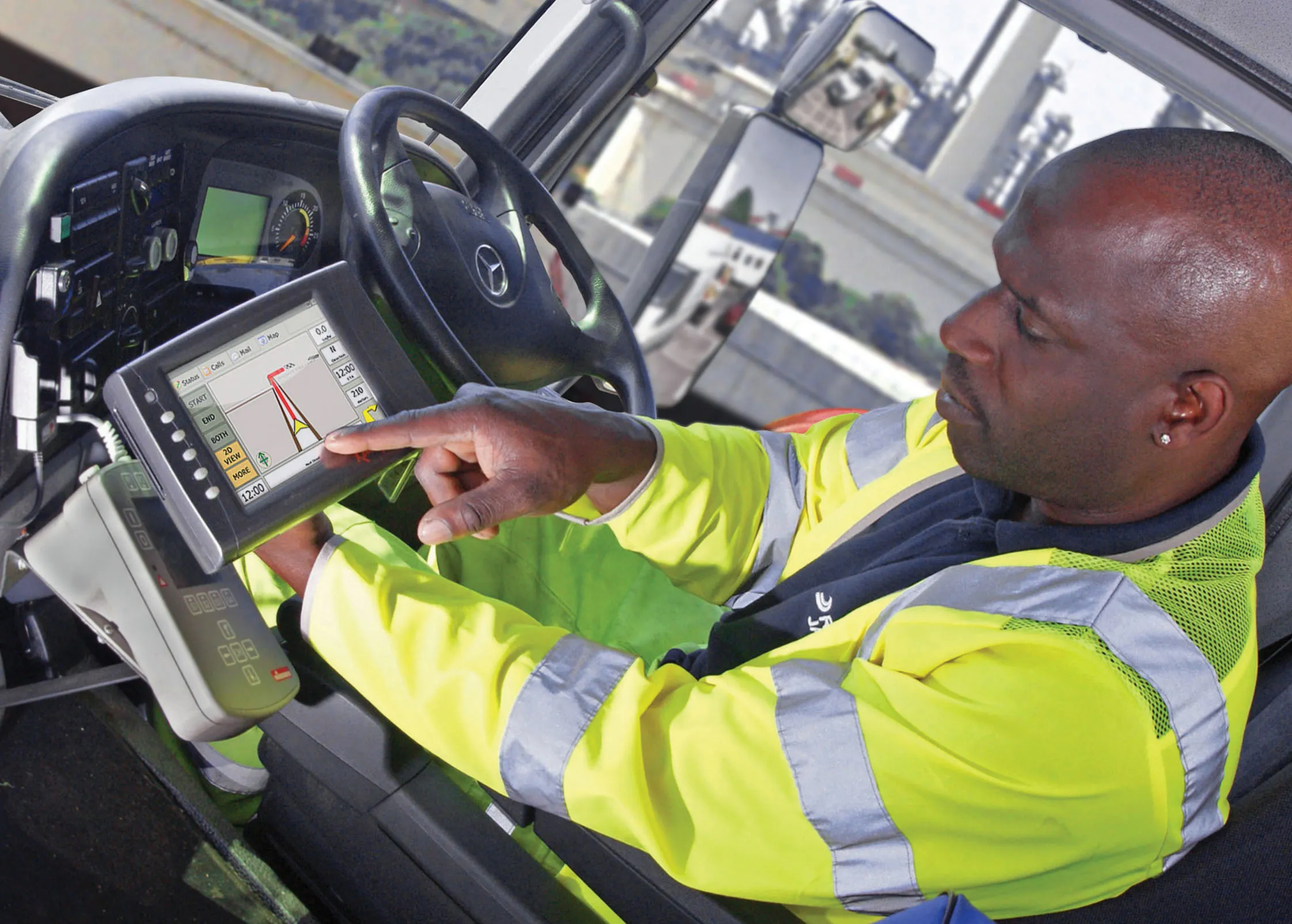
Remote worker safety is improved according to Mobexx when using its latest system
2554 Mobexx is offering a satellite communications capability for its Mentor Ranger in-vehicle computer intended to improve lone worker safety. The system switches automatically between cellular and satellite networks depending on the available coverage. This package is said to maximise connectivity between site personnel and the office, providing improved monitoring and communication whenever they are operating in high risk situations or isolated sites. The new satellite interface allows the Work Alone system to operate in either cellular or satellite mode. The system uses the global Iridium satellite network. Companies can use the Work-Alone system for live monitoring of mobile engineers and their vehicles on computer screen. This gives information for each vehicle and a countdown to the engineer's next update. Mobile staff wear a pendant to check-in to the system and click a button to activate the package, which triggers a countdown to the next required status update. If an engineer misses a check-in, the system creates an automatic alert, which highlights the vehicle on the office computer screen. Alerts are also created by pressing the pendant's panic button or if the pendant is motionless for a preset time. The system can also provide automatic email alerts of the missed check-in or panic event to managers.

For more information on companies in this article

Related Content

  • A new construction ICON
    January 3, 2013
    More efficient construction operations should be the benefit of the new technology from Leica Geosystems. The firm is introducing its latest Leica iCON telematics package, which is said to offer increased efficiency for machine control operations on site and remote machinery fleet management. The Leica iCON telematics package is a web-based suite of tools that allows contractors to increase the efficiency of machine control operations on site and manage machinery fleets. This is a key component in iCONnect,
  • Latest VMS keeps world’s motorists moving safely
    April 10, 2013
    VMS for what is thought to be the longest road tunnel in the Middle East, and the installation of the latest VMS technology in Canada’s oldest national park to help motorists travelling through it are among the projects discussed by Guy Woodford. A large volume of VMS from Italian firm Solari has been installed in the new 4.2km-long Zayed Street Tunnel in Abu Dhabi – thought to be the longest in the Middle East. The Solari VMS supply consisted of 204 lane control signs, with Red, Yellow and Green LED pre-de
  • Laser scanning focuses on asset management
    January 9, 2015
    Laser scanners and improved data collection and analysis software are making light of asset management surveying. David Arminas reports The age of the laser scanner is upon us, taking over from traditional manual methods of surveying, data collection and processing. These new technical developments are making it much easier to process and use the data captured and are providing highways engineers with powerful tools to record, map and visualise their assets. This is good news for highways authorities