Satellites for site safety

Mobexx is offering a satellite communications capability for its Mentor Ranger in-vehicle computer intended to improve lone worker safety. The system switches automatically between cellular and satellite networks depending on the available coverage. This package is said to maximise connectivity between site personnel and the office, providing improved monitoring and communication whenever they are operating in high risk situations or isolated sites. The new satellite interface allows the Work Alone system t
February 10, 2012 Read time: 2 mins
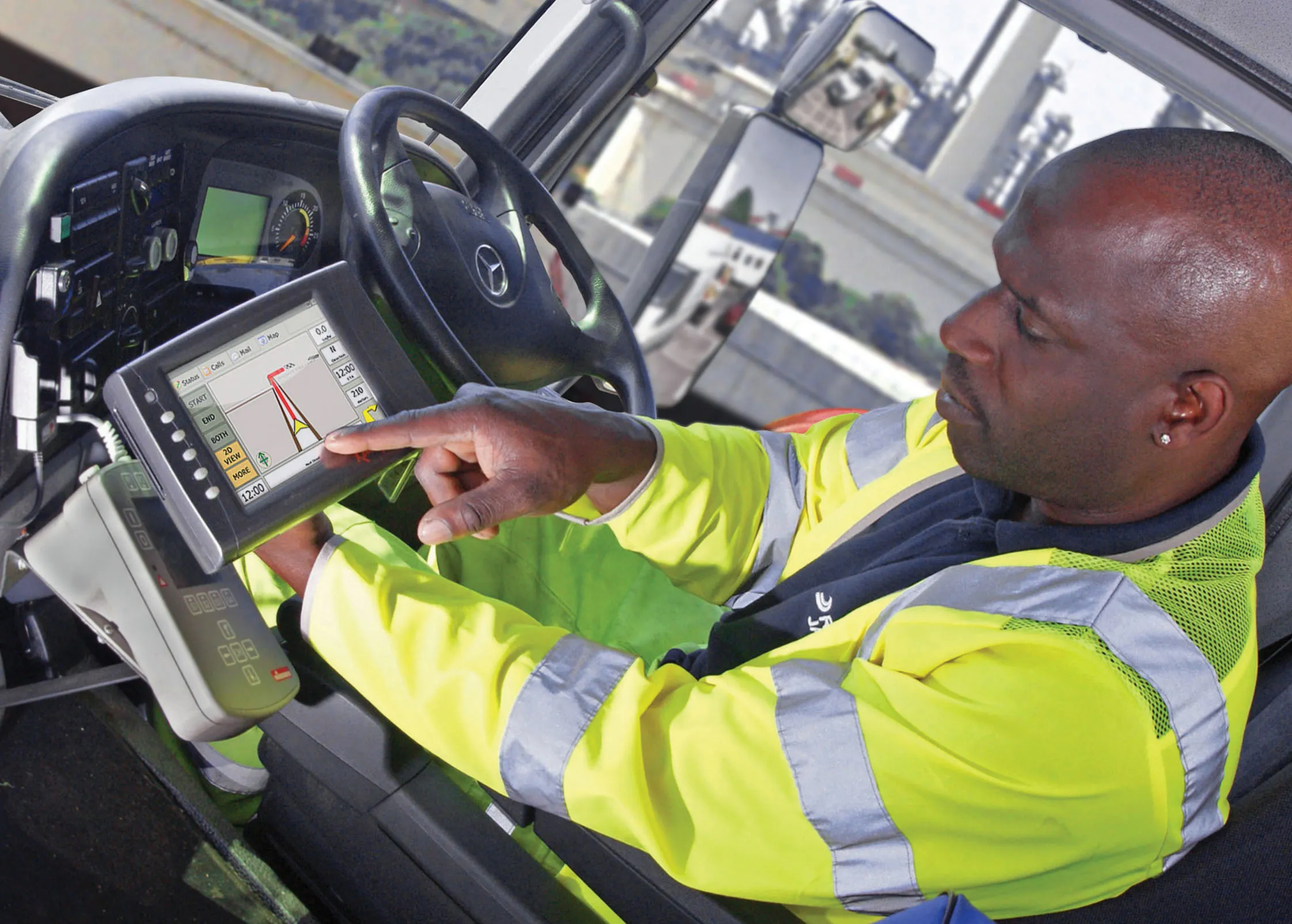
Remote worker safety is improved according to Mobexx when using its latest system
2554 Mobexx is offering a satellite communications capability for its Mentor Ranger in-vehicle computer intended to improve lone worker safety. The system switches automatically between cellular and satellite networks depending on the available coverage. This package is said to maximise connectivity between site personnel and the office, providing improved monitoring and communication whenever they are operating in high risk situations or isolated sites. The new satellite interface allows the Work Alone system to operate in either cellular or satellite mode. The system uses the global Iridium satellite network. Companies can use the Work-Alone system for live monitoring of mobile engineers and their vehicles on computer screen. This gives information for each vehicle and a countdown to the engineer's next update. Mobile staff wear a pendant to check-in to the system and click a button to activate the package, which triggers a countdown to the next required status update. If an engineer misses a check-in, the system creates an automatic alert, which highlights the vehicle on the office computer screen. Alerts are also created by pressing the pendant's panic button or if the pendant is motionless for a preset time. The system can also provide automatic email alerts of the missed check-in or panic event to managers.

For more information on companies in this article

Related Content

  • Latest GIS and software tools improve operations
    February 24, 2012
    Innovative GIS and software solutions are coming to market from the three key market players - Mike Woof reports Competition is strong in the field for GIS and surveying systems as well as the associated software. The three major players in the sector, Leica Geosystems, Topcon and Trimble, all invest heavily in research and development and continue to roll out new solutions for construction customers that will boost the efficiency of surveying as well as overall project implementation.
  • Florida and one.network in lane closure pilot
    August 30, 2022
    The project will use Live Link, one.network's proprietary shared road management platform that connects with major GPS providers in the US.
  • Amey trials wearable biometric safety technology from Fujitsu
    February 9, 2018
    UK contractor Amey said it has successfully conducted trials of wearable biometric and location device safety technology that could reduce risks to drivers and lone workers. The technology was provided by Fujitsu. It included a collar drowsiness detector and ear clip, measuring changes in blood flow which are indicators of attention loss and an initial sign of fatigue. The small units detect when the body is under stress and help workers raise instant alarms at the touch of a button.
  • Efficient road traffic management for large-scale sporting events
    October 25, 2022
    Modern road networks require a significant amount of infrastructure to function, from the roads themselves to signage, as well as other assets that are needed to keep things running. Throw in the digitisation of road networks and infrastructure requirements will significantly increase, especially when it comes to the introduction of connected (“internet-of-things”) devices and an array of sensor systems required for road monitoring.