Safer construction sites with Leica Geosystems

April 5, 2024 Read time: 1 min
Leica Geosystems has developed a safety system for onsite use

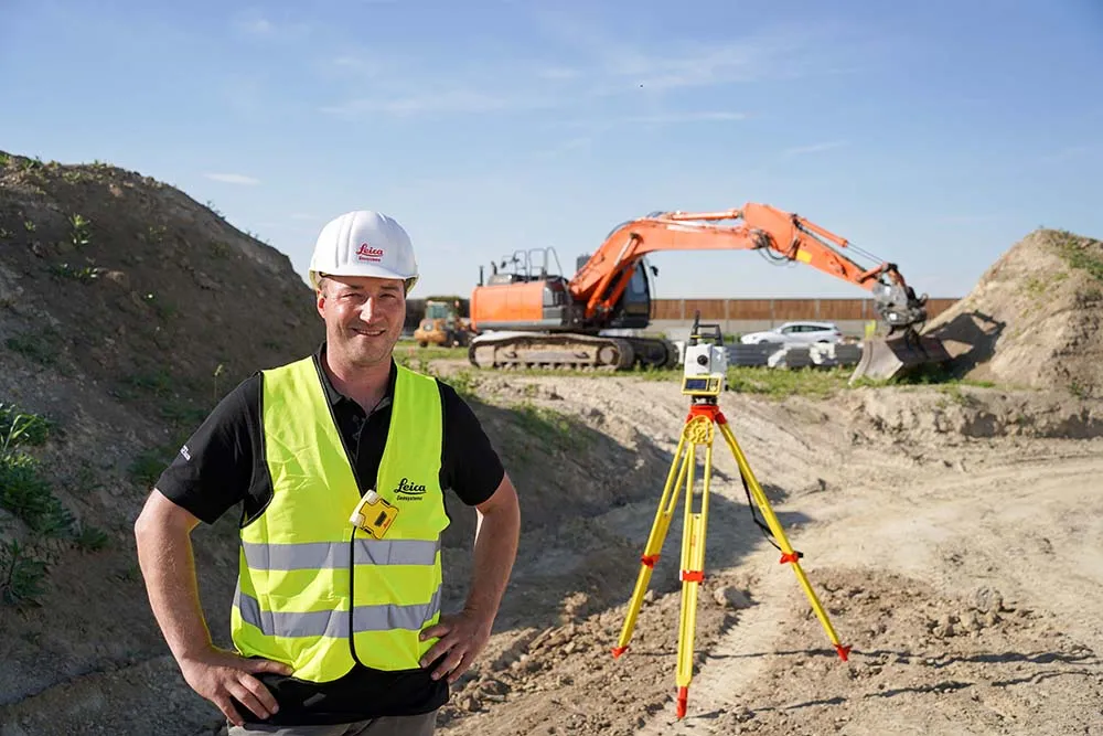
A new package from Leica Geosystems is said to help boost safety for personnel on construction sites. The PA10 system is intended to highlight the location of construction personnel on working sites to machine operators, as well as alerting workers as to where equipment is in use.

“It’s a personal awareness system,” said Thomas Bonvalot of Leica Geosystems. “Everybody onsite will know where a machine is working and the machine operator will know there is a pedestrian.”

For more information on companies in this article

Related Content

  • Caterpillar eyes better performance in 2015 amid stormy weather
    May 13, 2015
    Caterpillar vice president Paolo Fellin sums up the past year for the global equipment manufacturer and looks at the increasing importance of telematics and machine control. David Arminas reports from Caterpillar’s Demonstration and Learning Centre in Malaga, southern Spain First the good news. Despite the difficulties, especially of the financial markets, 2014 was “a record year for a lot of things” for global heavy equipment maker Caterpillar.Now the bad news. Hang onto your seats because despite some
  • Efficient employee tracking for construction
    July 14, 2021

    HCSS says that its new myField tool provides a mobile employee engagement and time tracking solution for heavy construction operations. The mobile solution allows workers to stay on top of their work while in the field or at the jobsite. The firm says that myField allows workers to document their own hours across various jobs, record safety observations, monitor meter readings and send maintenance requests, improving efficiency and productivity.

  • Turkey’s new Marmara Highway project
    June 8, 2017
    By the end of 2018, a shiny new strip of asphalt will skirt around Turkey’s largest city, Istanbul, providing a new transport connection.
  • Tag option
    February 20, 2012
    While the use of GPS is now commonplace in industry there are locations that do not get a reliable signal throughout the working day. The location, geographical layout and depth of a quarry can cause 'canyoning', where GPS signals are not dependable.Poor signals make GPS-based machine tracking technology unreliable but a Canadian firm has an RFID-based system it believes could be the answer for such sites. This cost effective QuarryTag system has been adapted from a product that has been widely used by the