Safer construction sites with Leica Geosystems

April 5, 2024 Read time: 1 min
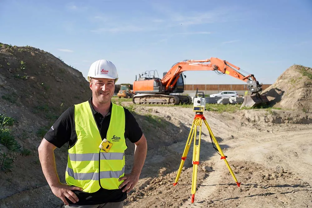
Leica Geosystems has developed a safety system for onsite use

A new package from Leica Geosystems is said to help boost safety for personnel on construction sites. The PA10 system is intended to highlight the location of construction personnel on working sites to machine operators, as well as alerting workers as to where equipment is in use.

“It’s a personal awareness system,” said Thomas Bonvalot of Leica Geosystems. “Everybody onsite will know where a machine is working and the machine operator will know there is a pedestrian.”

For more information on companies in this article

Related Content

  • HxGN Live 2014 attracts record event numbers
    August 28, 2014
    Attracting an HxGN Live event record-breaking 3,500 attendees, HxGN Live 2014 held at the MGM Grand in Las Vegas, US, June 2-5 showcased exciting new and in-demand design, measurement and visualisation technologies for industries including road construction and mining. Themed Great Stories Start Here, this year’s event also included a variety of exclusive presentations by industry experts, hands-on training, inspiring keynotes and international networking opportunities. Guy Woodford reports In
  • Looking into the future of construction with Topcon
    January 8, 2024
    Topcon Positioning’s Yassir Shanshal, senior vice president of Global Quality, Service and Kris Cowles, executive vice president & CIO spoke with Mike Woof of World Highways on Topcon’s view for the future.
  • Concrete - a competitive option for road construction?
    February 10, 2012
    The use of advanced control technology help boost the percentage of roads built using concrete - Mike Woof reports New technologies mean that concrete offers a highly competitive option for road construction.
  • Digital solutions for accurate road construction
    November 19, 2021
    Construction firms are now delivering roads that are more durable and feature better surface quality due to the use of digital measurement solutions. These technologies help to transfer target values into precise actual values on the ground