
Rugged controller for site use

Trimble is now offering its TSC5 Controller, a rugged and lightweight field controller for civil construction surveyors.
June 25, 2021 Read time: 1 min
Trimble is now offering a ruggedised controller for surveying purposes

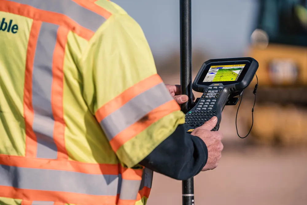
The firm says that the TSC5 combines high performance and dependability so professionals can complete tasks efficiently and accurately.

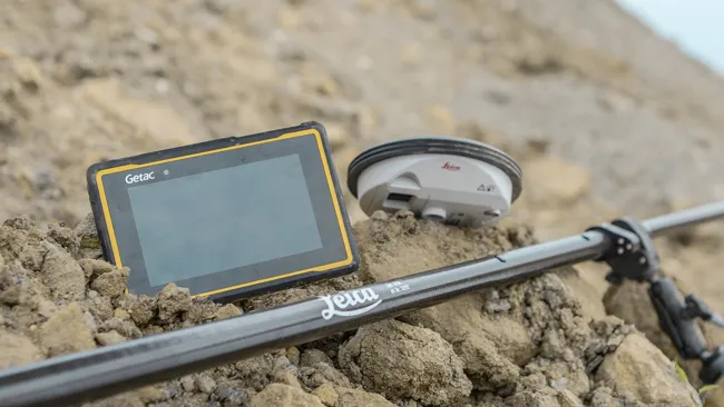
The Trimble TSC5 features a screen, keypad and all-day battery for reliable field data collection. The ergonomic design is lightweight and suits use in rugged environments. It is resistant to shock, dust and water. The illuminated, anti-glare screen and backlit alphanumeric keypad allow operation in tough conditions, even while wearing gloves. The battery provides all-day power on a single charge, with the optional external battery nearly doubling the power for extended use.

Featuring an Android 10 operating system, the Trimble TSC5 is integrated with Trimble's land and construction surveying instruments and software packages, including Trimble Access 2021 Field Software, and Trimble Siteworks Software. In addition, the controller can be used with Trimble Forensics Capture. The TSC5 is also compatible with the Trimble EMPOWER Module system, which includes the ability to add the EM100 (GNSS), EM11X family (RFID/Barcode) and EM120 (Long Range Radio) modules.

For more information on companies in this article

Related Content

  • Efficient construction using advanced technology
    August 19, 2020
    Advances in asphalt paving control systems are helping contractors deliver higher efficiency
  • Sophisticated asphalt paving control technology
    July 27, 2020
    Advances in asphalt paving control systems are helping contractors deliver higher efficiency
  • New tablet solution for Leica Geosystems
    December 12, 2018
    Leica Geosystems is now using the rugged ZX70 Android tablet from Getac as the hardware for its new Leica Zeno GG04 plus Tablet Solution. The new partnership allows Leica Geosystems to bring geospatial data collection capabilities to customers in all terrains and weather conditions such as utilities, public services, transportation and construction. Leica Geosystems has developed a range of new software and hardware including its Zeno Mobile data collection app and Zeno GG04 plus smart antenna to capture a
  • Wider range of survey software functionality
    February 9, 2012
    Leica Geosystems is offering a broad spread of new packages and hardware that will deliver improved performance to users. The firmware 2.0 product is said to add powerful new capabilities to the Leica ScanStation C10, the industry's most popular 3D laser scanner for as-built and topographic surveys. This further increases the productivity and versatility of the fully integrated, cable-less ScanStation C10. A new Setup facility lets users take advantage of known survey points and backsighting, while remote,