
RMD’s focus on Locus

RMD Kwikform has launched LocusHUB, a digital solution centre that acts as a one-stop hub for all the company’s digital innovations and resources.
June 24, 2021 Read time: 2 mins


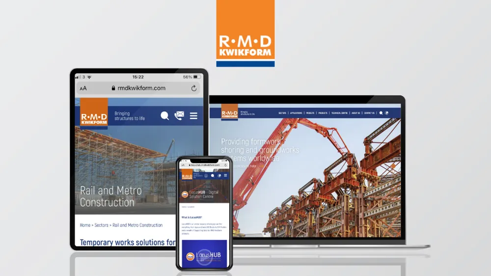
RMD Kwikform’s digital assets include apps, product videos, CAD resources and technical data. LocusHUB offers users an evolving library of digital tools to help optimise working processes and improve productivity levels.

For example, during the design phase, digital construction can help reduce revisions, eliminate redundant conversations between parties and ensure any errors are quickly identified. It can also help improve safety standards and ensure better workforce planning.

Tools on LocusHUB include LocusEye, RMD Kwikform’s 3D visualisation software which offers interactive 3D models of temporary work schemes. RMD said it will provide a vital means of viewing and interrogating a temporary works solution during the pre-tender or build phases of a project.

LocusEye reduces onsite risks, as any potential issues can be quickly seen. Available to download as an app, it helps project teams understand the challenges of a temporary works scheme in greater detail than ever before, explained Matt Wiseman, divisional digital innovation manager at RMD Kwikform.

RMD’s entire catalogue of material handling and guidance notes for its products is stored on LocusHUB, too. Particularly with social distancing guidelines still needing to be followed on construction sites, the material handling guides can help illustrate to users how to best assemble, manoeuvre and dismantle equipment ahead of delivery, to ensure site operatives always stay in line with social distancing measures

For more information on companies in this article

Related Content

  • Using technology so assess road surface quality
    April 4, 2014
    Advances in survey technology and the evolving face of road procurement are driving demand for highway condition data. Mark Thomas, infrastructure services manager at Fugro Aperio writes how surveys of new roads can improve long-term quality While a growing suite of non-intrusive testing, measurement and survey technologies are widely used to target highway repairs and to determine asset management strategies, the use of these powerful tools remains patchy in the early stages of the infrastructure life cycl
  • US industry groups launch web-based platform PavementDesigner.org
    February 23, 2018
    A new online concrete pavement design tool has been launched in the US by three major cement and concrete organisations. PavementDesigner.org – available free of charge - was created for city, county, and consultant engineers as well as academics and anyone involved in design of roadway, industrial, and parking area pavements. PavementDesigner improves upon traditional pavement design software programs, according to its creators. The platform is being offered completely free of charge by the American
  • GPS machine control systems reduce survey time
    February 14, 2012
    Innovative uses are being made of GPS technology, Mike Woof reports. US firms Creighton Manning Engineering and Delaney Construction have made a novel use of GPS technology in a project for the Route 85 Slingerlands bypass extension in the US.
  • Latest GIS and software tools improve operations
    February 24, 2012
    Innovative GIS and software solutions are coming to market from the three key market players - Mike Woof reports Competition is strong in the field for GIS and surveying systems as well as the associated software. The three major players in the sector, Leica Geosystems, Topcon and Trimble, all invest heavily in research and development and continue to roll out new solutions for construction customers that will boost the efficiency of surveying as well as overall project implementation.