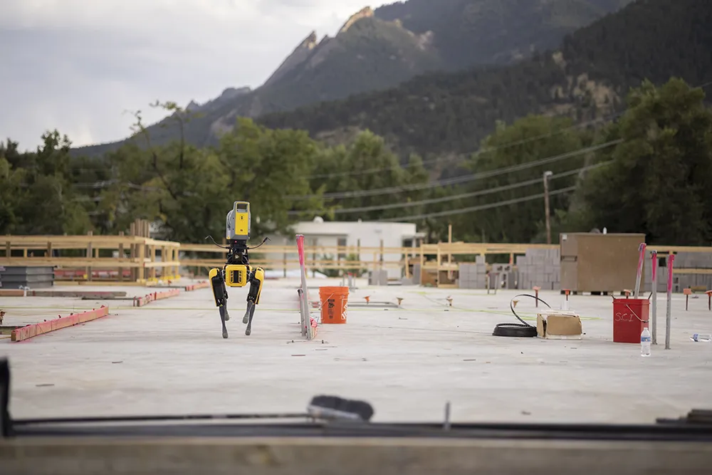
Remote surveying and scanning

Remote surveying and scanning can be achieved using the autonomous robotic system available from Trimble. The package combines the Spot robot autonomous rover unit with the Trimble X7 3D laser scanner and Trimble FieldLink software.
January 18, 2022 Read time: 2 mins
Autonomous surveying and scanning is possible using the new package from Trimble

This solution has been jointly developed between Trimble and Boston Dynamics and allows autonomous operation on construction sites. The system takes advantage of the robot's ability to navigate challenging, dynamic and potentially unsafe environments. Trimble's 3D data capture technology can deliver a continuous flow of information between the field and the office for documentation of jobsite progress.

The innovative package allows users to make important decisions, rather than waiting for the information to be relayed to project staff. The integration is focused on the automated capture of field construction data through the use of Trimble 3D capture technology and the Spot robot. The autonomous workflow for the X7 laser scanner uses fully integrated Spot robot controls in FieldLink software to create a predefined path of waypoints for Spot to follow and collect laser scans.

Laser scans collected using the X7 scanner and the Spot robot can be tied to a jobsite project coordinate system, as well as individual scan stations. The data is collected, and then made into a composite point cloud in real-time on the Trimble tablet controller before leaving the site. While performing autonomous operations, Spot's docking station enables in-field charging of batteries on both the robot and the X7 3D laser scanner, and also provides the continuous transfer of data through a Gigabit Ethernet connection to the office.

For more information on companies in this article

Related Content

  • BOMAG: road construction with warm mix asphalt
    July 3, 2024
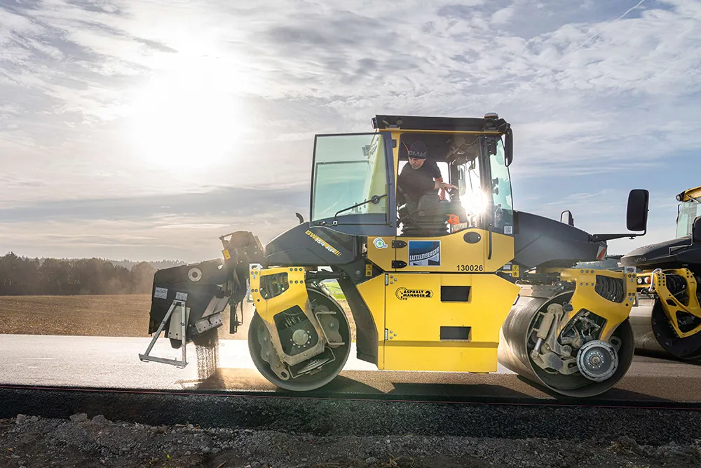
    When it comes to paving and compacting warm mix asphalt (WMA), BOMAG rollers and pavers really come into their own. Well prepared for what’s to come: road construction with warm mix asphalt.
  • Machine guidance and asset management aid fleet utilisation
    July 16, 2012
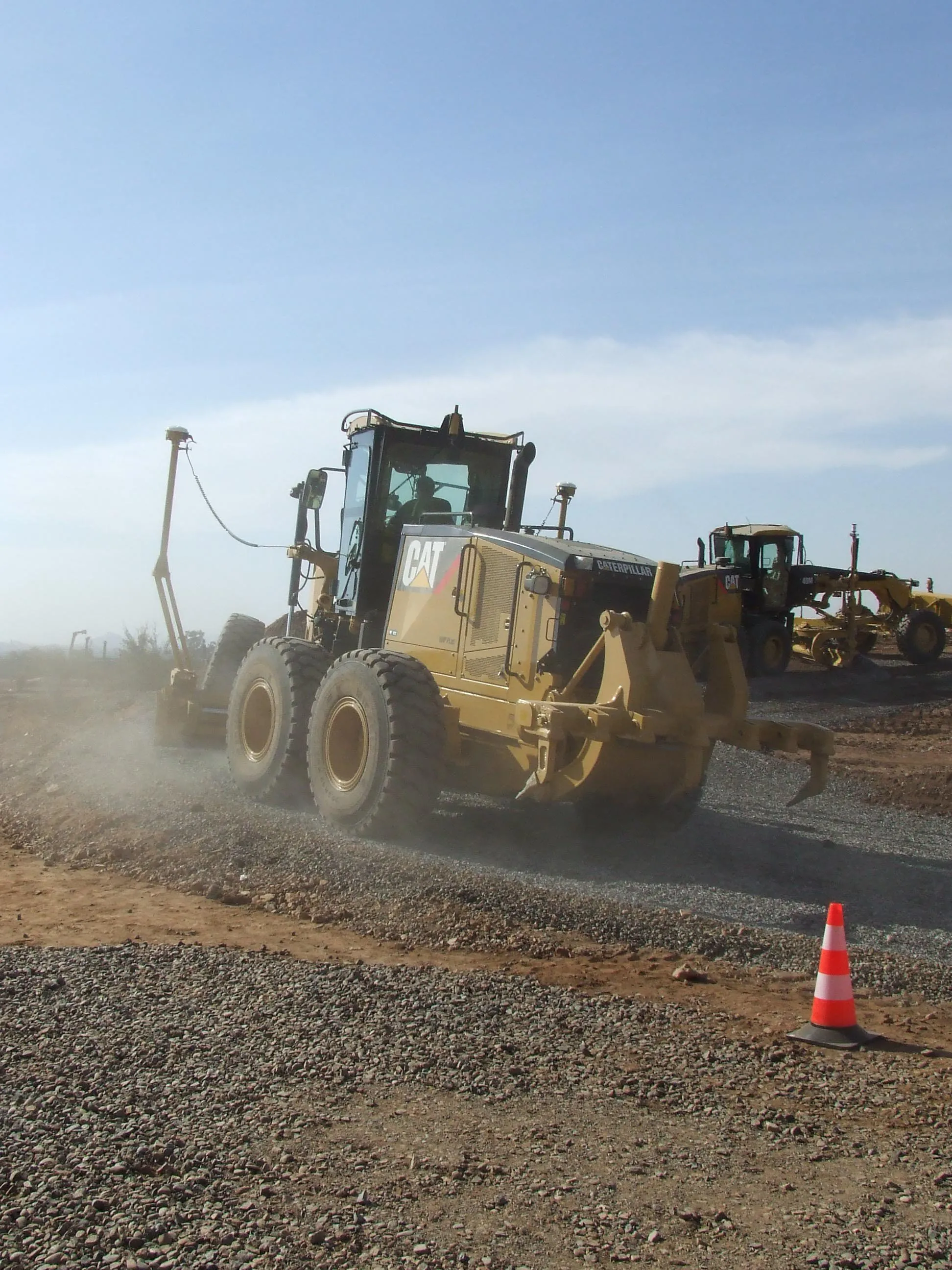
    Integrating Caterpillar's latest machine guidance and asset management tools offers efficiency gains for contractors in a competitive market. Mike Woof reports Caterpillar has been a leader in the development of GPS machine control systems through its partnership with Trimble. The manufacturer has rolled out a series of AccuGrade packages for various machines in its line-up, starting with the dozers and graders and then spreading to other machines such as scrapers, excavators and soil compactors. Caterpilla
  • New NetRover range from Leica
    February 7, 2012
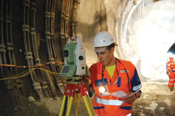
    Leica Geosystems is expanding its Viva GNSS range with the addition of the new NetRover package. This comprises the GS08 receiver, a sophisticated RTK network rover and the new Leica Viva CS10 3.5G field controller. The field controller has a fully integrated high-speed 3.5G modem to connect to RTK reference networks and allow mobile broadband internet connectivity for field-to-office data transfer. In addition to 3.5G, the new field controller can also include Bluetooth, WiFi and TPS radio for further conn
  • Optimising traffic control ensures efficient use of infrastructure
    April 10, 2013
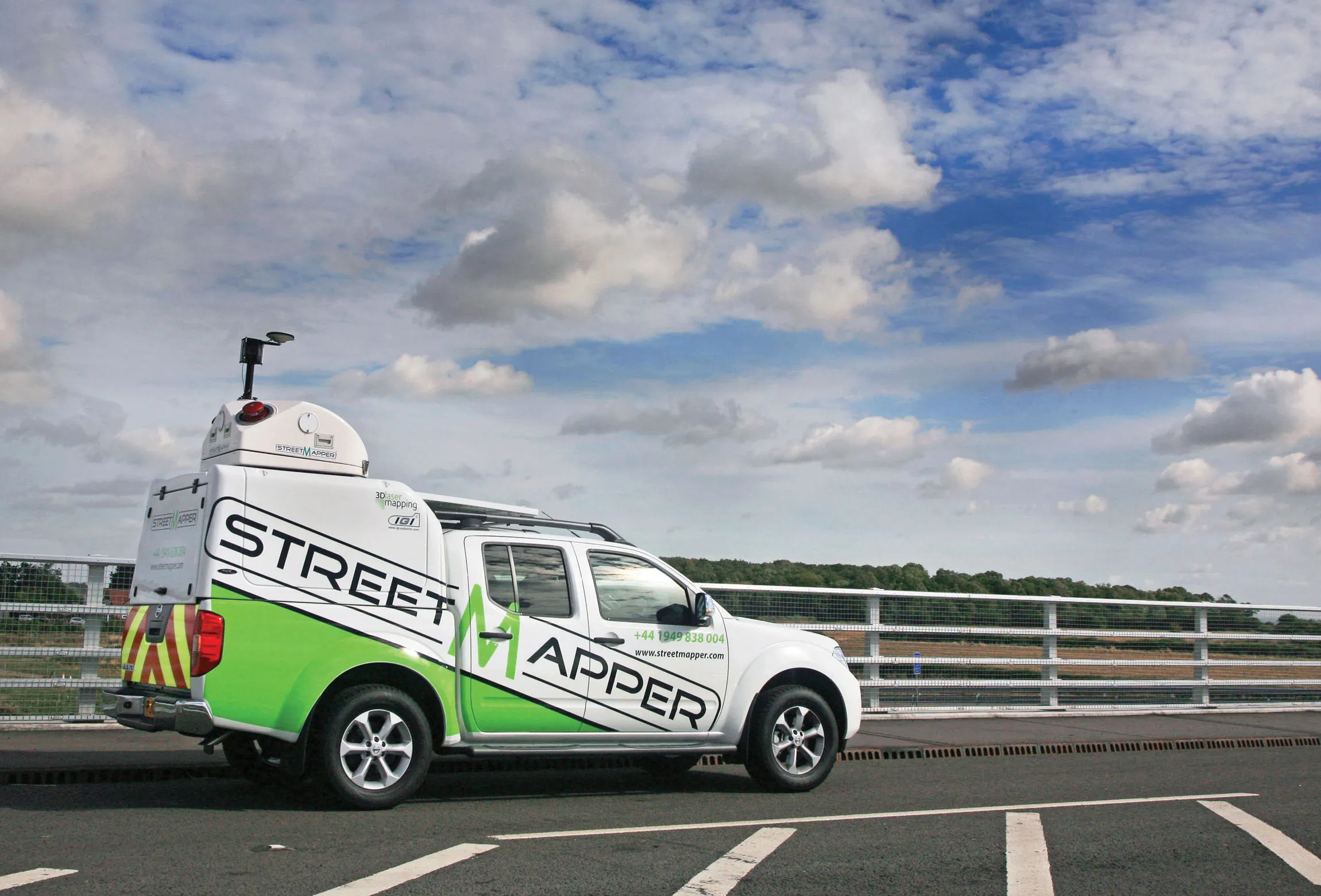
    Central and local governments are facing many challenges, not least a shortage of funds due to budget restraints in the US and Europe in particular. In other markets, ensuring efficient traffic flow is the priority, with monitoring of network status being a key tool. New technology for traffic monitoring plays a crucial role and the sector is keen to introduce new and more efficient systems. The Transport Research laboratory (TRL) has long been a pioneer of traffic control technologies and its latest MAAPc