Precision GNSS surveying

Trimble is widening its radio line-up with the addition of the TDL450H for surveyors. This unit offers long-range capabilities for productive surveys and is designed to support high-precision GNSS surveying applications. The Trimble TDL450H is a 2-35W radio transceiver and enables work in difficult terrain and urban areas. The multi-function user interface streamlines field configuration and troubleshooting so surveyors can maintain productivity.
February 16, 2012 Read time: 1 min
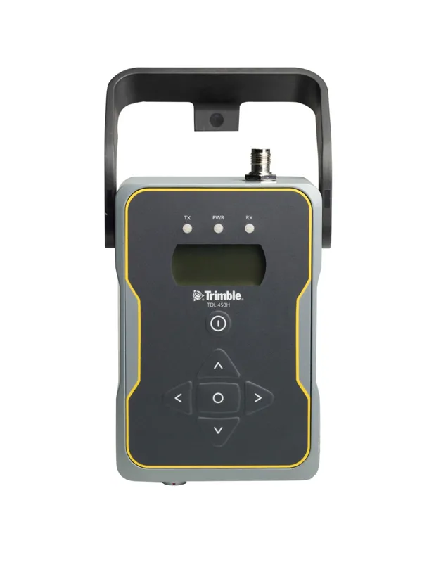
High performance communications can be achieved with the new Trimble radio system
2122 Trimble is widening its radio line-up with the addition of the TDL450H for surveyors. This unit offers long-range capabilities for productive surveys and is designed to support high-precision GNSS surveying applications. The Trimble TDL450H is a 2-35W radio transceiver and enables work in difficult terrain and urban areas. The multi-function user interface streamlines field configuration and troubleshooting so surveyors can maintain productivity. The radio modem allows users to adapt as conditions require: for longer baselines surveyors can dial up the power, and when the work area is smaller, a lower power output can extend battery life. The Trimble TDL450 series is available in two frequency bands to cover the entire commercial UHF band without sacrificing radio performance. It also allows the user to select from either 12.5 or 25kHz channel bandwidth. This high-power radio comes with a new protocol offering 9600bps in a 12.5kHz channel without loss of range.

For more information on companies in this article

Related Content

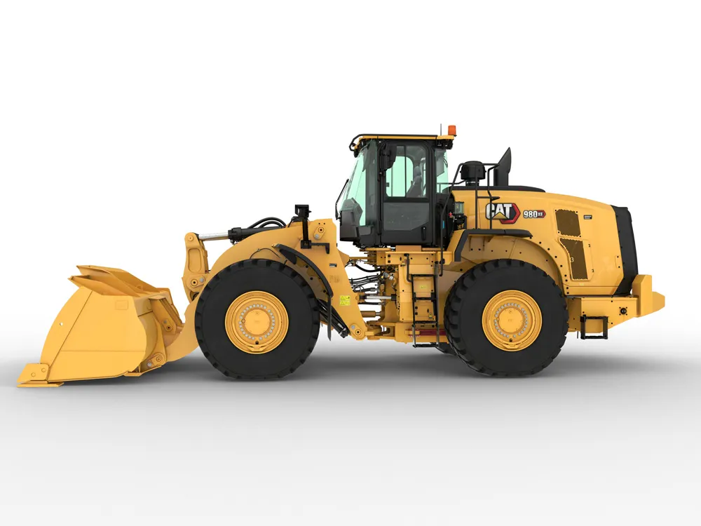
  • New wheeled loaders are coming to market
    August 10, 2021
    Several improved wheeled loader models are now being offered by major manufacturers
  • Latest innovations in GPS and machine control
    February 22, 2012
    Modern satellite technology is making life easier for everyone on the construction site and in the office. Most major equipment manufacturers are now integrating GPS machine control systems into the design of excavators, bulldozers, pavers, and motor graders. For stake-less work it is a major component for automatic grading, surveying, and excavating systems, with contractors and construction companies using GPS machine control systems to improve operations.
  • New positioning tools streamline survey operations
    March 14, 2012
    Trimble has launched a range of new tools which it says will deliver faster and more accurate data to surveyors. The Trimble S6 Robotic Total Station with Trimble Vision Technology enables surveyors to remotely see and measure through a live video feed from the instrument on their data controller.
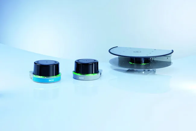
  • SICK’s LMS 1000 and RMS 1000 sensors deliver the goods
    January 7, 2019
    SICK says that it’s recently launched LMS1000 and MRS1000 infrared LiDAR sensors deliver more accurate and reliable distance sensing and measurement, especially in difficult conditions. The robust, compact sensors weigh just 1.2kg and come with rotatable connectors for easy mounting on gantries. Heavy rain, mist, dust or snow can lead to false signals, explained Neil Sandhu, SICK’s national product manager for imaging, measurement, ranging and systems. The addition of SICK’s triple-echo HDDM+ - High Defini