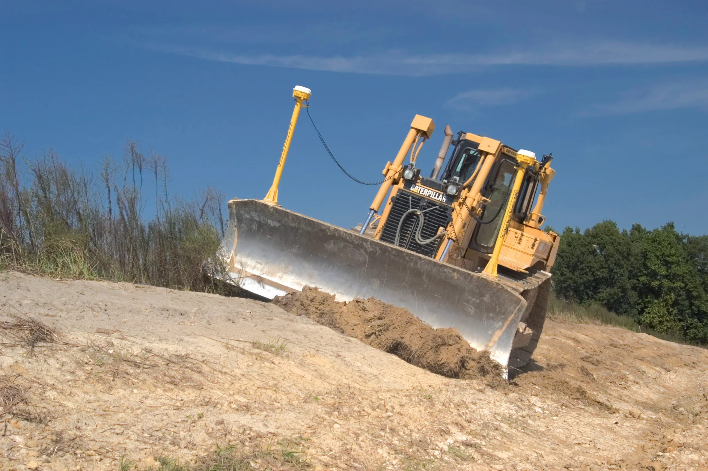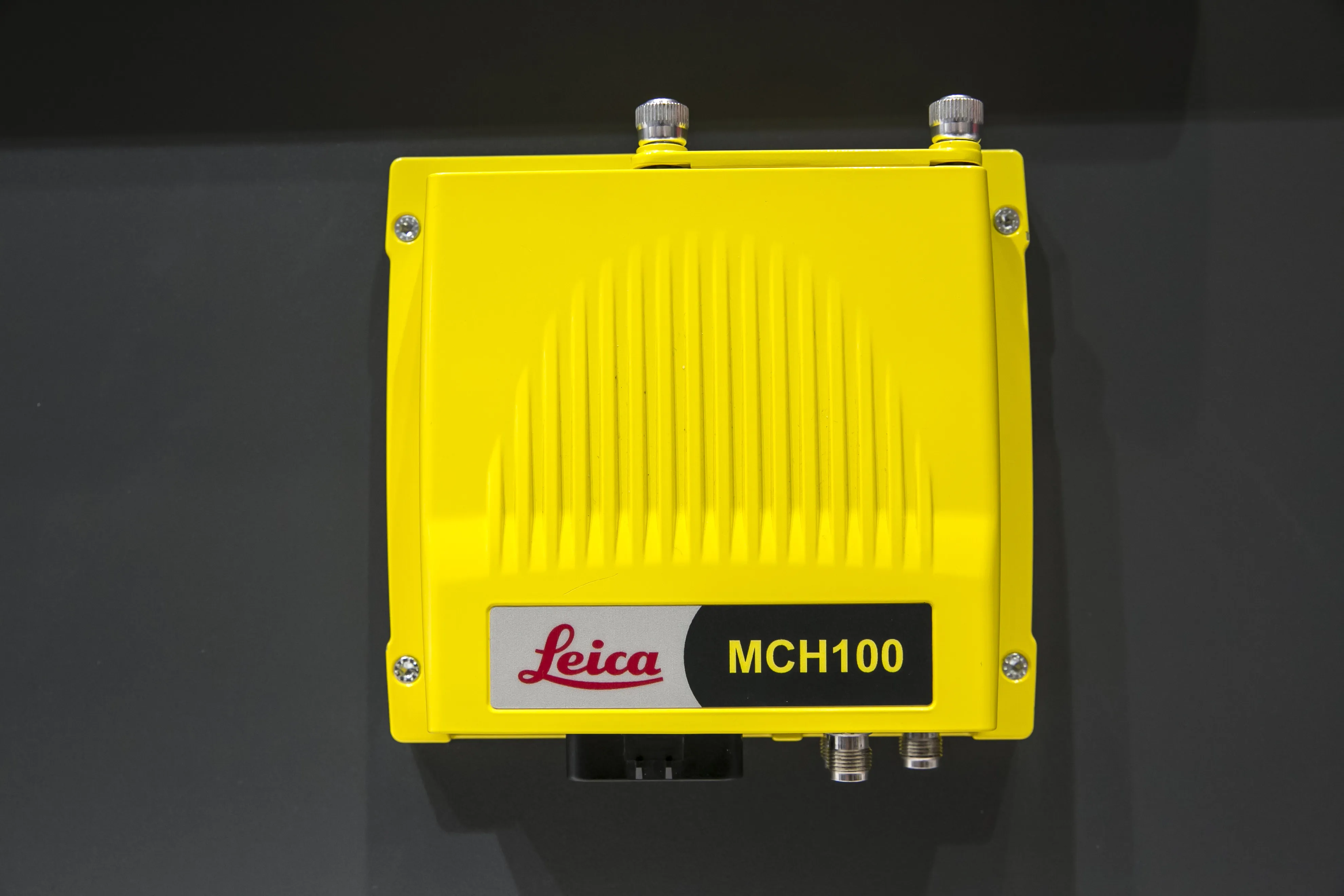
The iCON MCH100 unit, which offers the real-time location of machinery, can be attached in a non-invasive fashion with no calibration needed. Importantly, it has wireless connectivity for any type of earthmoving equipment – and from any manufacturer - and can stand up to long hours of operation in rugged conditions.
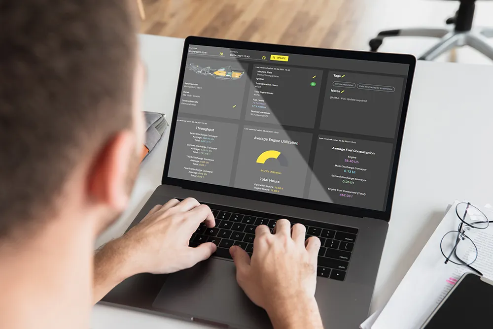
Leica’s ICON Telematics takes the information for analysis which is then presented in a user-friendly visual way for any employee. It can monitor overtime and off-schedule activity, as well as use projected schedules to easily identify costly overtime.
For multiple site managers and owners, the iCON Telematics system can compare performance across projects, regions and other groupings. It is also easily accessible from any internet-connected device, making it practically universal.