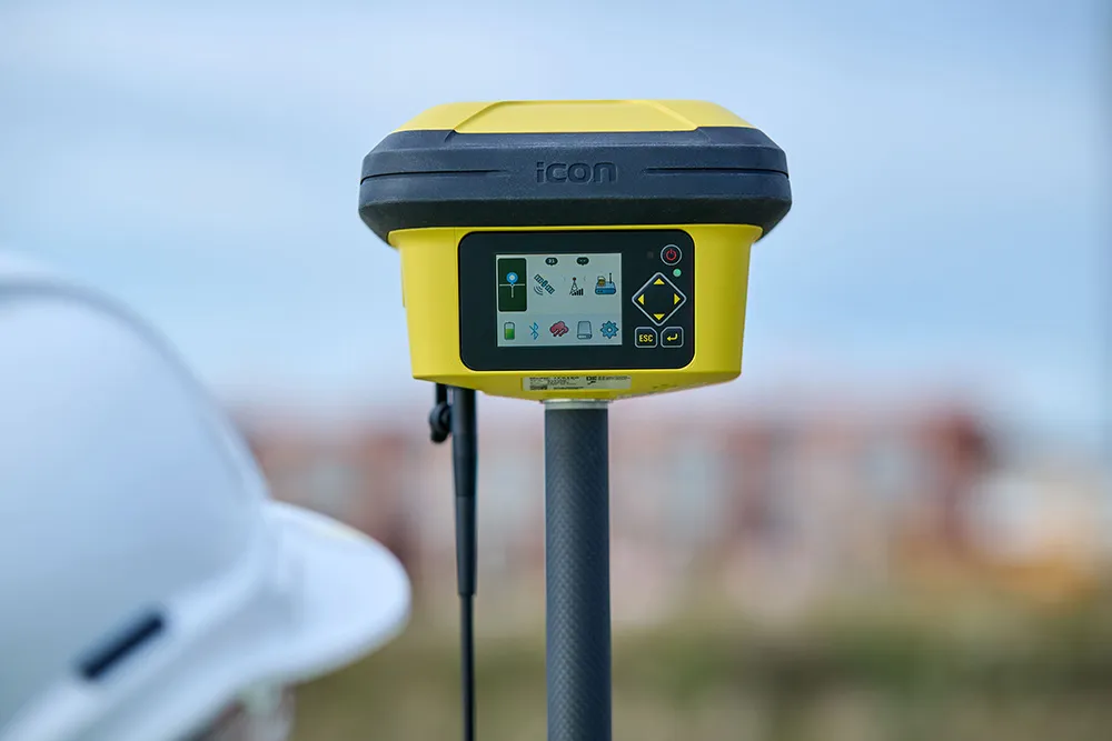
The Leica iCON construction portfolio offers a broad range of Smart Antennas to suit all applications according to the firm. The Smart Antennas are said to be able to withstand challenging site conditions. The units integrate with all Leica iCON construction instruments and controllers as well as the iCON field software for precise, real-time verification.
The iCon gps 160 is a versatile solution for various applications. It can be used as a base station, a rover or for machine guidance. The Leica iCON gps 160 is an improved version of the successful Leica iCON gps 60. The result is a smaller, more compact GNSS antenna with additional features and a larger display for ease of use.
Leica Geosystems introduced its safety awareness solution portfolio, including Leica iCON PA10, iCON PA80 and iCON CAS, which addresses the need to immediately warn on- and off-machine field personnel of potential machine-to-people, machine-to-machine and machine-to-object and collisions. As the next step, the company integrates the field-generated safety data into the cloud-based collaboration platform Leica ConX, allowing decision-makers to review incidents and assess the entire operation over time and space. These insights support important safety initiatives by providing visualisation, analysis, monitoring, reporting and data management functions, and address communication and integration needs.
To expand its portfolio of Smart Antennas, Leica Geosystems has launched the iCON gps 160, a versatile solution for various applications. It can be utilised as a base station, a rover or for machine guidance. The Leica iCON gps 160 is a modernisation and enhancement of the successful Leica iCON gps 60, which has been well accepted in the market. The result is a smaller, more compact GNSS antenna with additional features and a larger display for ease of use.


