New surveying tool from Sokkia

Sokkia is introducing a new field controller for use with construction and surveying applications, the SHC5000. The unit runs the firm’s MAGNET Field, Site and Layout software and is designed as a versatile and fast handheld computer for GNSS receivers and total stations. It is also said to offer the largest screen size in the Sokkia line. The display’s capacitive touch interface comes with finger, glove, small tip stylus and water capable options. Operators can also change the screen from portrait to l
July 6, 2016 Read time: 2 mins
1090 Sokkia is introducing a new field controller for use with construction and surveying applications, the SHC5000.

The unit runs the firm’s MAGNET Field, Site and Layout software and is designed as a versatile and fast handheld computer for GNSS receivers and total stations. It is also said to offer the largest screen size in the Sokkia line. The display’s capacitive touch interface comes with finger, glove, small tip stylus and water capable options. Operators can also change the screen from portrait to landscape when viewing maps or drawings. The SHC5000 comes with two built-in cameras. One uses an 8MP camera with autofocus and LED flash that is designed for uses such as field photography. The second has a 2MP camera on the front side of the unit for purposes such as video meetings.

Additional features include 64GB of flash storage, an optional 4G LTE cellular modem, internal GPS navigation, Bluetooth and Wi-Fi, and a battery life of 10-plus hours.

For more information on companies in this article

Related Content

  • GSSI offers bridge monitoring tool
    May 19, 2015
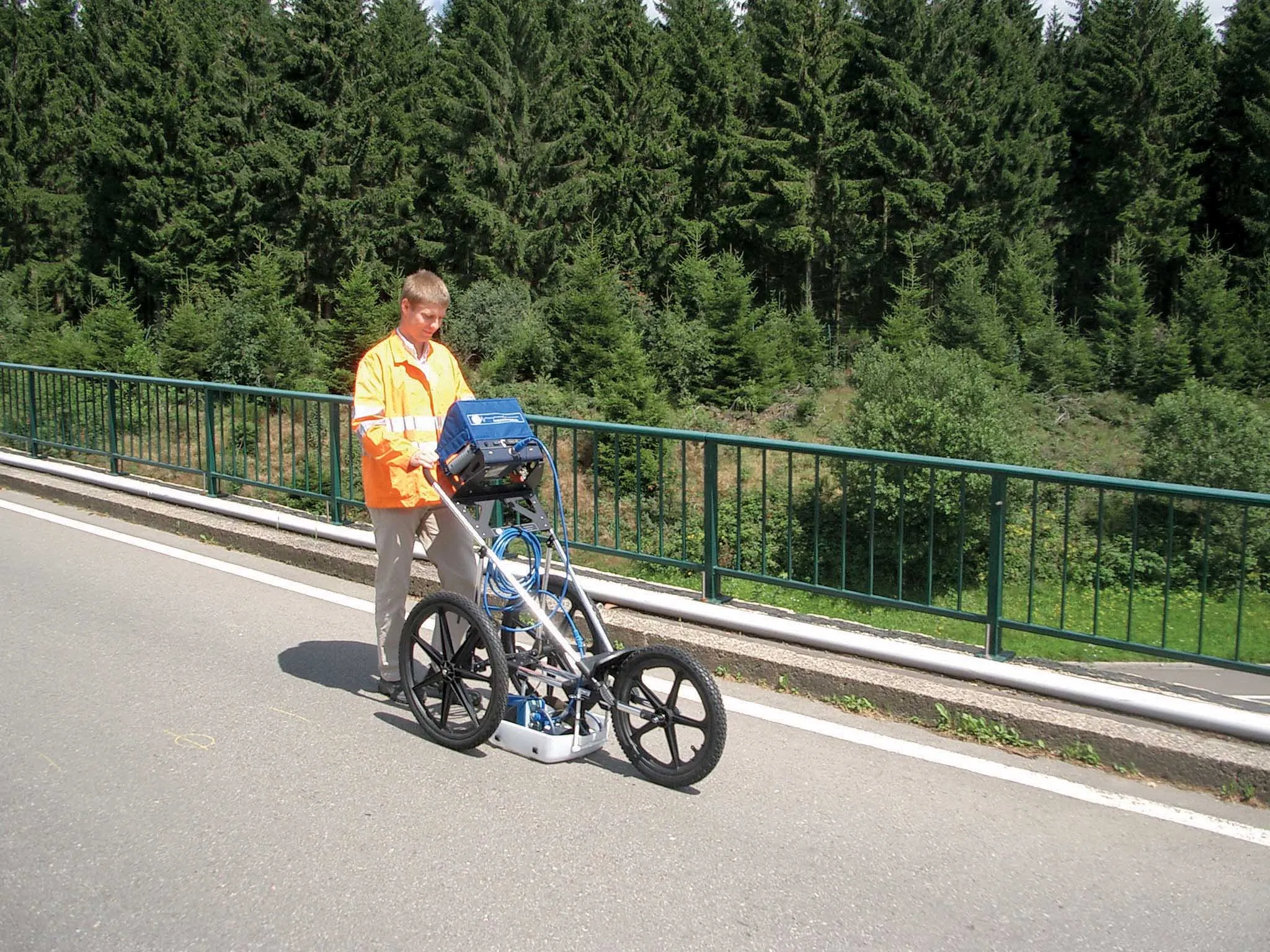
    GSSI is introducing the sophistictaed BridgeScan condition assessment system. This package is used for concrete inspection and utility mapping of bridges. Said to be both affordable and versatile, this ground penetrating radar (GPR) equipment can be used to assess concrete condition on bridge decks, as well as parking structures. Using this unit offers accurate assessments of concrete condition, which improves repair cost estimation and saves time and money. With BridgeScan, identification of rebar
  • New tablet solution for Leica Geosystems
    December 12, 2018
    Leica Geosystems is now using the rugged ZX70 Android tablet from Getac as the hardware for its new Leica Zeno GG04 plus Tablet Solution. The new partnership allows Leica Geosystems to bring geospatial data collection capabilities to customers in all terrains and weather conditions such as utilities, public services, transportation and construction. Leica Geosystems has developed a range of new software and hardware including its Zeno Mobile data collection app and Zeno GG04 plus smart antenna to capture a
  • Using radar to deliver a fine runway finish
    April 4, 2014
    Radar Portal Systems (RPS) has spent a lot of time developing its sophisticated pavement top-surface photometric imaging system so it can cater specifically for the aviation market. This has now been specially developed for use on aircraft runways and taxiways The system was recently used at Brisbane Airport to survey runway and runway shoulders, collecting photometric top-surface data at a 4m width at speeds of up to 100km/h. This dataset allows the firm to display meshing data of the runway surface showin
  • GPS machine control systems reduce survey time
    February 14, 2012
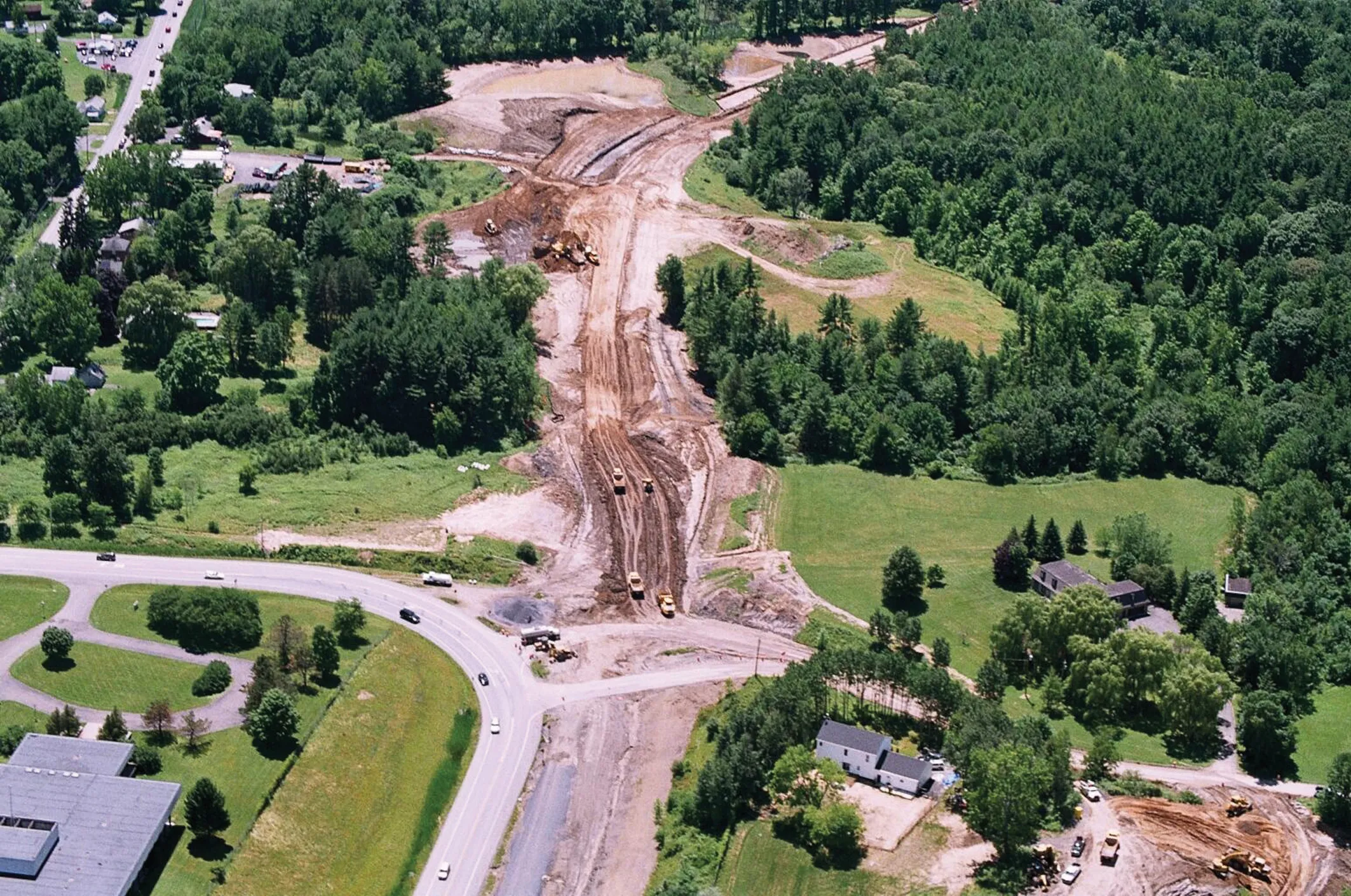
    Innovative uses are being made of GPS technology, Mike Woof reports. US firms Creighton Manning Engineering and Delaney Construction have made a novel use of GPS technology in a project for the Route 85 Slingerlands bypass extension in the US.