New surveying tool from Sokkia

Sokkia is introducing a new field controller for use with construction and surveying applications, the SHC5000. The unit runs the firm’s MAGNET Field, Site and Layout software and is designed as a versatile and fast handheld computer for GNSS receivers and total stations. It is also said to offer the largest screen size in the Sokkia line. The display’s capacitive touch interface comes with finger, glove, small tip stylus and water capable options. Operators can also change the screen from portrait to l
July 6, 2016 Read time: 2 mins
1090 Sokkia is introducing a new field controller for use with construction and surveying applications, the SHC5000.

The unit runs the firm’s MAGNET Field, Site and Layout software and is designed as a versatile and fast handheld computer for GNSS receivers and total stations. It is also said to offer the largest screen size in the Sokkia line. The display’s capacitive touch interface comes with finger, glove, small tip stylus and water capable options. Operators can also change the screen from portrait to landscape when viewing maps or drawings. The SHC5000 comes with two built-in cameras. One uses an 8MP camera with autofocus and LED flash that is designed for uses such as field photography. The second has a 2MP camera on the front side of the unit for purposes such as video meetings.

Additional features include 64GB of flash storage, an optional 4G LTE cellular modem, internal GPS navigation, Bluetooth and Wi-Fi, and a battery life of 10-plus hours.

For more information on companies in this article

Related Content

  • Road milling advances from key players
    January 30, 2020
    Major manufacturers have introduced key innovations in milling, recycling and stabilisation
  • Traffic monitored by Fabema
    February 10, 2012
    Fabema GmbH is offering a new and more sophisticated solution for monitoring traffic flows, with its FMC-N multi-functional control that can be used during traffic jams, allowing the user to monitor phase changes from a PC. The unit, for both temporary and stationary use, suits installations with traffic signal systems featuring up to 32 signal groups and 256 signal lamps.
  • Laser scanning versatility
    February 13, 2012
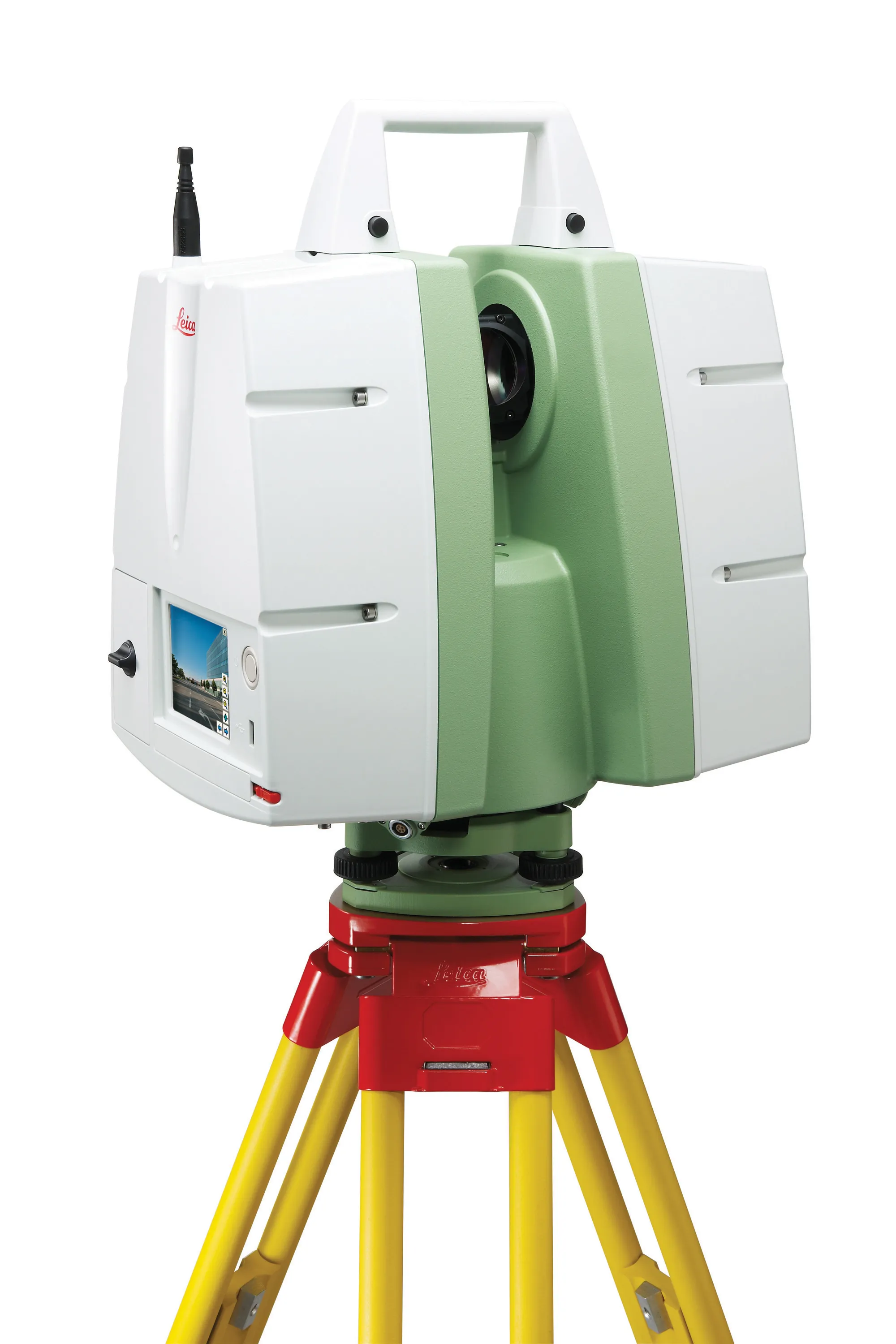
    The upgraded ScanStation C10 laser scanning system from Leica Geosystems now offers high performance as well as increased versatility and productivity.
  • Positioning tools continue to improve
    July 16, 2012
    Topcon says that its new IP-S2 package combines GNNS positioning capabilities with inertial sensors, while the firm also has a solution for customers wanting to mix and match receiver components. The IP-S2 is a vehicle-mounted, mobile 3D tool that offers precision mapping and surveying capabilities. The package collects data using 3D laser scanners, LIDAR, and/or cameras, and this is then integrated, time-stamped and geo-referenced. The customer can use this assembled data to combine LIDAR point cloud and d