New surveying tool from Sokkia

Sokkia is introducing a new field controller for use with construction and surveying applications, the SHC5000. The unit runs the firm’s MAGNET Field, Site and Layout software and is designed as a versatile and fast handheld computer for GNSS receivers and total stations. It is also said to offer the largest screen size in the Sokkia line. The display’s capacitive touch interface comes with finger, glove, small tip stylus and water capable options. Operators can also change the screen from portrait to l
July 6, 2016 Read time: 2 mins
1090 Sokkia is introducing a new field controller for use with construction and surveying applications, the SHC5000.

The unit runs the firm’s MAGNET Field, Site and Layout software and is designed as a versatile and fast handheld computer for GNSS receivers and total stations. It is also said to offer the largest screen size in the Sokkia line. The display’s capacitive touch interface comes with finger, glove, small tip stylus and water capable options. Operators can also change the screen from portrait to landscape when viewing maps or drawings. The SHC5000 comes with two built-in cameras. One uses an 8MP camera with autofocus and LED flash that is designed for uses such as field photography. The second has a 2MP camera on the front side of the unit for purposes such as video meetings.

Additional features include 64GB of flash storage, an optional 4G LTE cellular modem, internal GPS navigation, Bluetooth and Wi-Fi, and a battery life of 10-plus hours.

For more information on companies in this article

Related Content

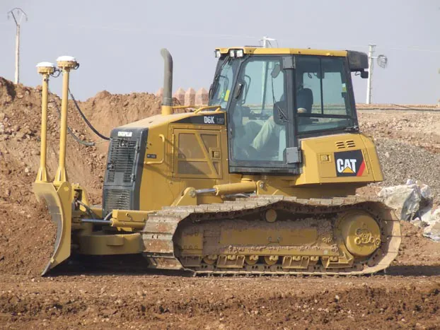
  • GPS machine control improves construction accuracy
    February 29, 2012
    The latest GPS systems will improve the accuracy of many construction operations. Mike Woof reports. The pace of technological advancement is fast in the GPS market. Despite a market downturn, the GPS solution providers continue to invest in research and development. And there is evidence to suggest that the contracting sector is more keen than ever to employ the latest technology because of the cost benefits this can bring.
  • Accurate scanning
    February 6, 2012
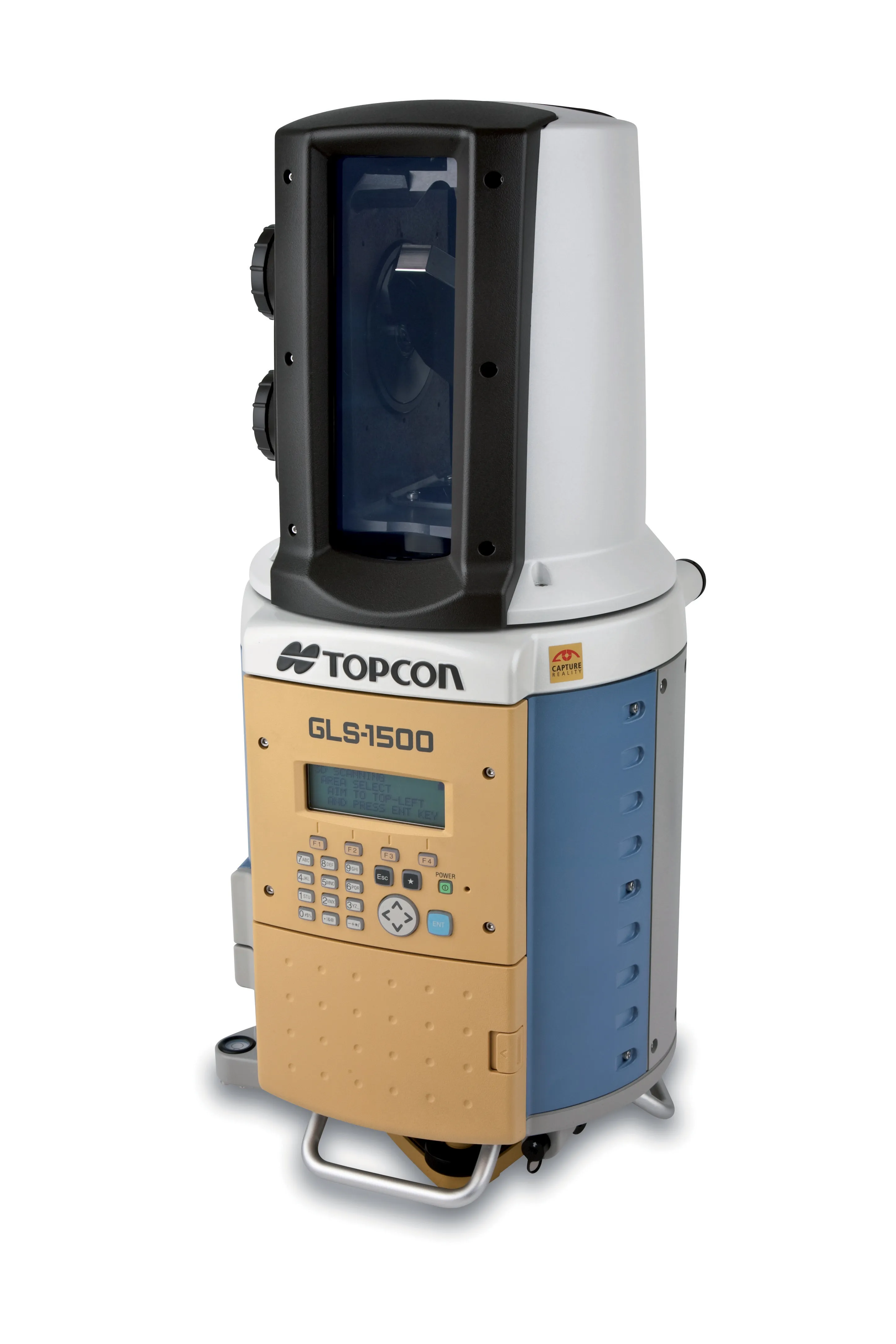
    TOPCON CLAIMS that its GLS- 1500 laser scanner speeds point cloud collection. This unit is 10 times faster than previous units and collects up to 30,000 points/second, reducing the amount of equipment needed in the field. The GLS-1500 offers a range of up to 330m and is designed for quick setup to save time and improve productivity.
  • ScanStation C10: sophisticated
    March 1, 2012
    High-speed, versatile laser scanning can now be achieved using the latest technology from Leica Geosystems. The firm's sophisticated ScanStation C10 package features a new high-definition surveying (HDS) scanner that is said to increase surveying productivity and accuracy for both routine surveys and large, complex projects.
  • Topcon’s latest tool for total station connectivity
    April 4, 2017
    Topcon is introducing its MAGNET Construct 2.0 app to deliver connectivity between more instruments. The MAGNET Construct 2.0 is the firm’s next generation app that is intended to drive a wide variety of Topcon total stations from a user’s smartphone or tablet. The first version of the app was purpose-built to drive the LN-100 Layout Navigator system alone. This unit is now available for most Topcon instruments and can run from Android devices or the latest Apple iPhone, iPad, or iPod Touch hardware. Accord