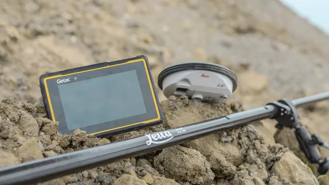
Leica Geosystems is expanding its Viva GNSS range with the addition of the new NetRover package. This comprises the GS08 receiver, a sophisticated RTK network rover and the new Leica Viva CS10 3.5G field controller. The field controller has a fully integrated high-speed 3.5G modem to connect to RTK reference networks and allow mobile broadband internet connectivity for field-to-office data transfer. In addition to 3.5G, the new field controller can also include Bluetooth, WiFi and TPS radio for further conn
The field controller has a fully integrated high-speed 3.5G modem to connect to RTK reference networks and allow mobile broadband internet connectivity for field-to-office data transfer.
In addition to 3.5G, the new field controller can also include Bluetooth, WiFi and TPS radio for further connectivity. Said to provide an all-in-one GNSS Network Solution, the NetRover is optimised for RTK network use and also integrates the latest technology from Leica Geosystems, providing a lightweight and cable-free network rover. The system can automatically connect to any reference station network and features the RTCM 3.1 transformation message, so there is no need to measure control points for the determination of a local transformation, saving time and reducing errors.
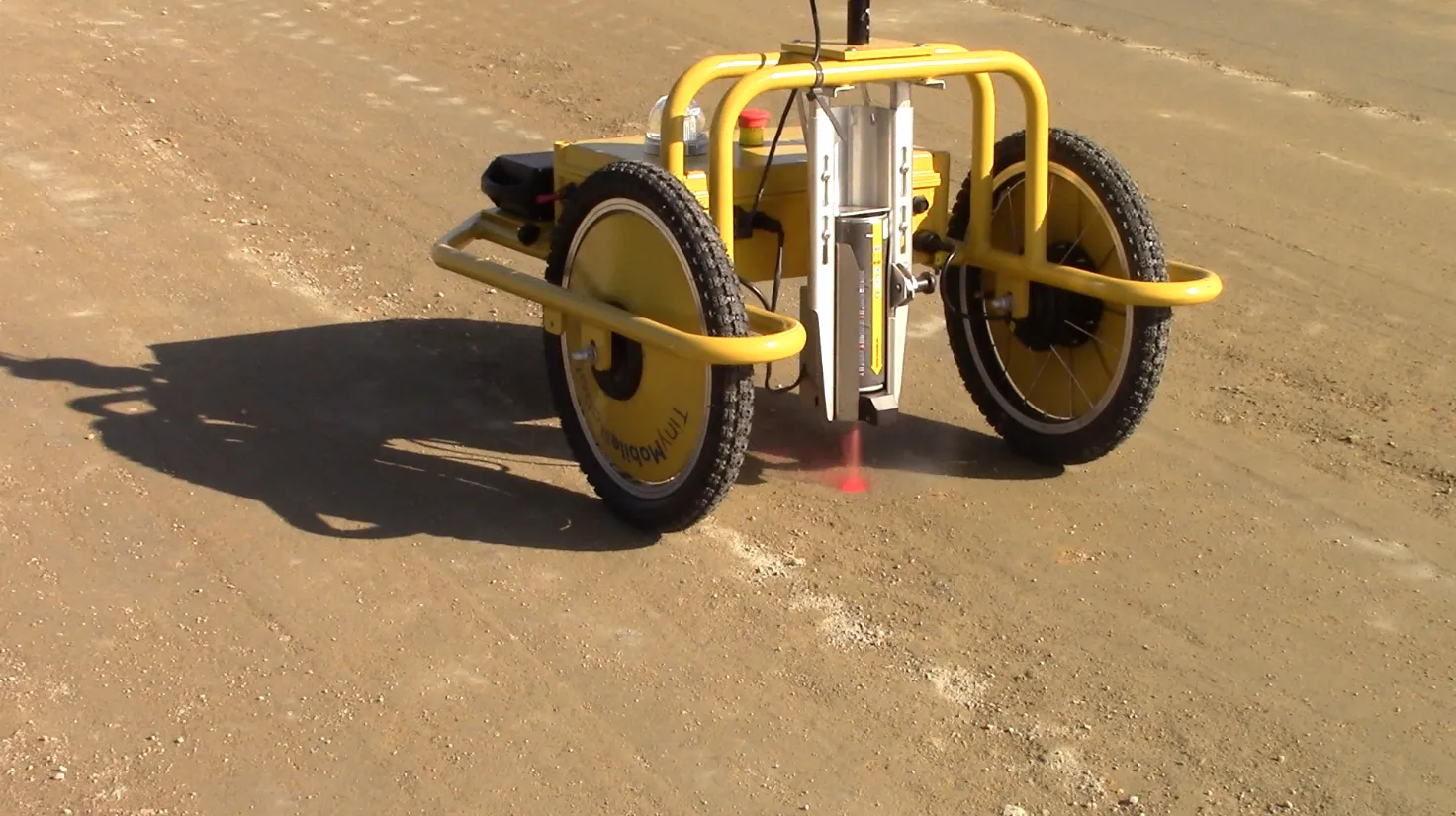
In addition, the firm is offering the Viva GS12 receiver for combined GNSS/TPS one-person surveying. The Leica Viva GS12 is a lightweight receiver that ergonomically combines GNSS and TPS for a Viva SmartPole setup, an integrated system for productive one-person surveying. The Viva SmartPole combines the GS12 GNSS receiver and a 360º prism and provides good ergonomics with low weight. According to the firm, users increase productivity by using GNSS to orientate TPS and can switch between GNSS and TPS to measure any point with total flexibility. Starting the survey and conducting setup on-the-fly while completing measurements allows users to save time in survey planning and execution.
Meanwhile image assisted surveying is also possible with the TS15 Total Station and Leica Viva SmartWorx v3.00. Combining the SmartPole setup with the new Leica TS15 Robotic Imaging Total Station and Leica Viva SmartWorx v3.00 is said to deliver state-of-the-art technology. This allows the user to deliver exact photo documentation of what is seen and measured on site.