Vysionics launched VECTOR, its latest ANPR technology, during TRAFFEX 2013 in Birmingham, central England. Said to combine decades of ANPR experience into a single, highly capable and compact integrated unit, VECTOR’s two high resolution cameras provide ANPR and scene overview images, including day/night mode allowing capture on a completely dark road. Images can be transferred via a wide range of communications media, or stored on local high capacity memory. A GPS clock, compass, accelerometer and two lig
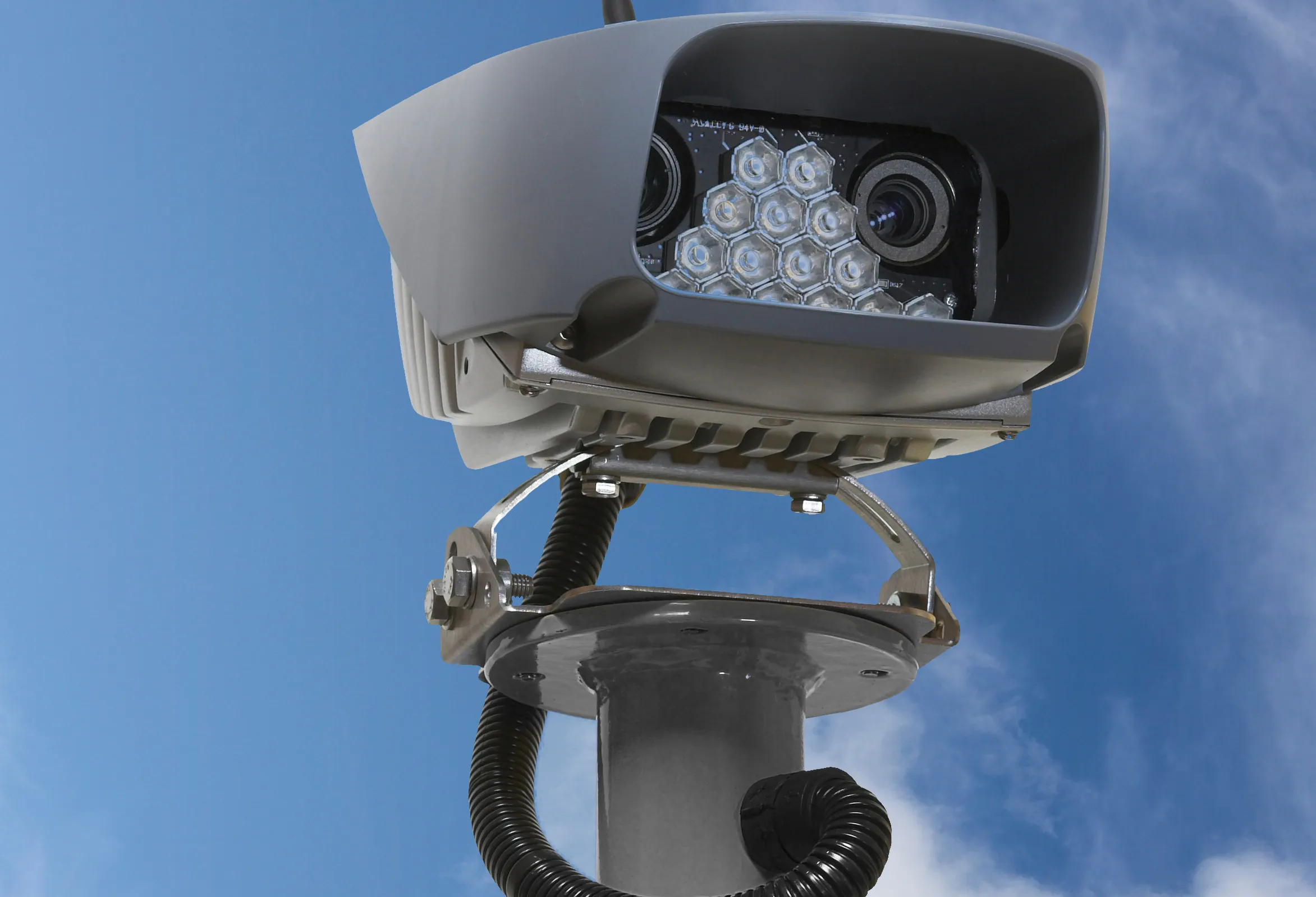
Said to combine decades of ANPR experience into a single, highly capable and compact integrated unit, VECTOR’s two high resolution cameras provide ANPR and scene overview images, including day/night mode allowing capture on a completely dark road. Images can be transferred via a wide range of communications media, or stored on local high capacity memory. A GPS clock, compass, accelerometer and two light sensors allow VECTOR to dynamically adapt to a changing operational environment, said to support even the most challenging enforcement applications.
Vysionics says VECTOR provides a common platform for multiple advanced ANPR applications, including average speed enforcement; bus lane enforcement; level crossing and red light enforcement; yellow box violations; tolling; and journey time measurement.