New ANPR system from vysionics

Vysionics launched VECTOR, its latest ANPR technology, during TRAFFEX 2013 in Birmingham, central England. Said to combine decades of ANPR experience into a single, highly capable and compact integrated unit, VECTOR’s two high resolution cameras provide ANPR and scene overview images, including day/night mode allowing capture on a completely dark road. Images can be transferred via a wide range of communications media, or stored on local high capacity memory. A GPS clock, compass, accelerometer and two lig
May 28, 2013 Read time: 1 min

3957 Vysionics launched VECTOR, its latest ANPR technology, during 346 Traffex 2013 in Birmingham, central England.

Said to combine decades of ANPR experience into a single, highly capable and compact integrated unit, VECTOR’s two high resolution cameras provide ANPR and scene overview images, including day/night mode allowing capture on a completely dark road. Images can be transferred via a wide range of communications media, or stored on local high capacity memory.  A GPS clock, compass, accelerometer and two light sensors allow VECTOR to dynamically adapt to a changing operational environment, said to support even the most challenging enforcement applications.

Vysionics says VECTOR provides a common platform for multiple advanced ANPR applications, including average speed enforcement; bus lane enforcement; level crossing and red light enforcement; yellow box violations; tolling; and journey time measurement.

For more information on companies in this article

Related Content

  • Efficient asset management delivers
    April 25, 2013
    Maximising the economic benefit of infrastructure assets can be achieved through delivering better quality maintenance. Increasing utilisation of infrastructure follows on from those assets being in better condition. Clearly by tracking infrastructure condition closely, huge gains can be made in addressing technical issues before they become more serious and more costly, as well as minimising disruption. In UK city Birmingham, high resolution aerial photography from Bluesky is helping the city council under
  • Wider range of survey software functionality
    February 9, 2012
    Leica Geosystems is offering a broad spread of new packages and hardware that will deliver improved performance to users. The firmware 2.0 product is said to add powerful new capabilities to the Leica ScanStation C10, the industry's most popular 3D laser scanner for as-built and topographic surveys. This further increases the productivity and versatility of the fully integrated, cable-less ScanStation C10. A new Setup facility lets users take advantage of known survey points and backsighting, while remote,
  • Brisbane’s Airport: Innovative Management of One of the World’s Busiest Runways
    June 26, 2014
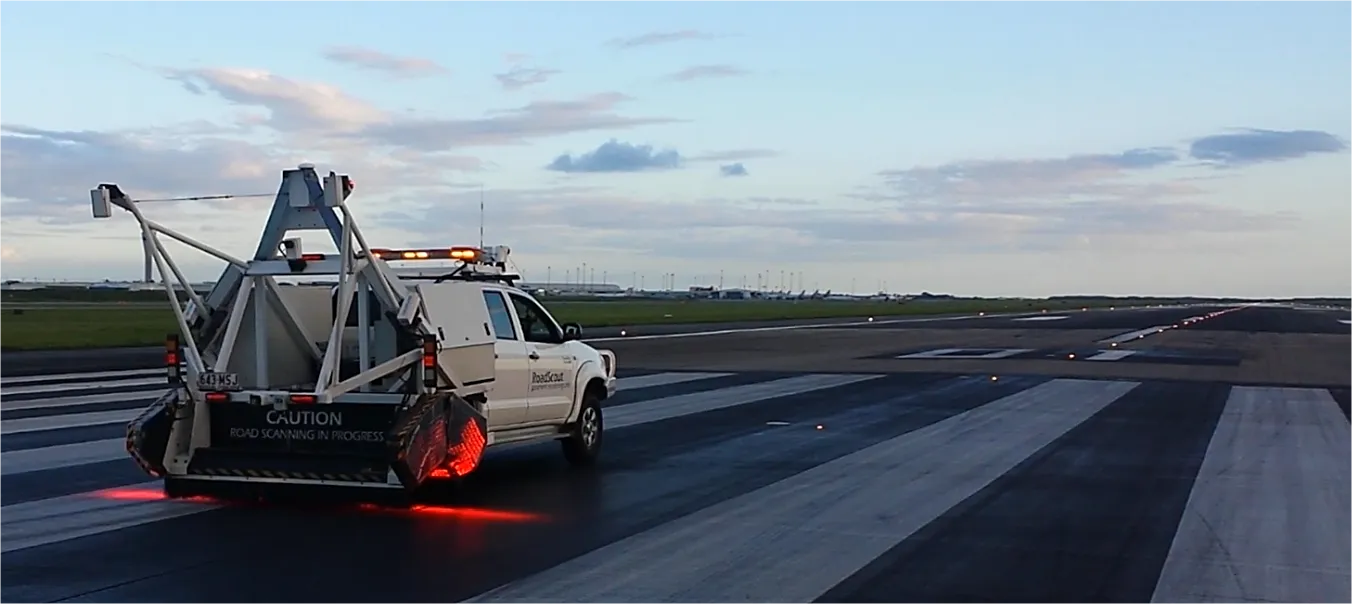
    When it comes to runways, there are few busier then Brisbane’s main runway. Servicing both domestic and international travel, with over 200,000 movements per year, operating without a curfew Brisbane’s main runway is the busiest in Australia. For maintenance, crews only have a limited period of time to determine the pavement condition, normally during the night, making the detection of pavement faults difficult. To resolve this issue, a new high speed pavement scanner was used to rapidly survey the pavem
  • Laser scanning focuses on asset management
    January 9, 2015
    Laser scanners and improved data collection and analysis software are making light of asset management surveying. David Arminas reports The age of the laser scanner is upon us, taking over from traditional manual methods of surveying, data collection and processing. These new technical developments are making it much easier to process and use the data captured and are providing highways engineers with powerful tools to record, map and visualise their assets. This is good news for highways authorities