New software and hardware from Trimble provide movement monitoring capabilities for major structures
New Trimble 4D control software offers users the chance to monitor movement of structures such as bridges and flyovers, using a combination of GNSS and optical technologies.
New software and hardware from 2122 Trimble provide movement monitoring capabilities for major structures
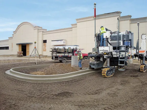
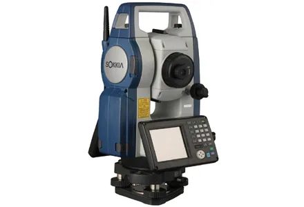
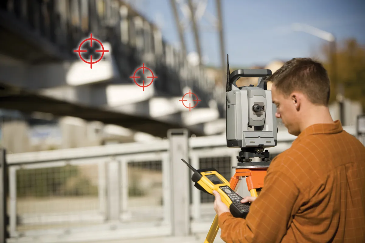
New Trimble 4D control software offers users the chance to monitor movement of structures such as bridges and flyovers, using a combination of GNSS and optical technologies. This package provides real-time deformation monitoring and is said to be a comprehensive solution for both real-time and post-processed monitoring. The system is said to make it easy for surveying organisations to carry out monitoring tasks by using existing surveying instruments and tools. With this package surveyors can integrate positioning data from Trimble GNSS receivers to detect rapid motion and long-term movement trends. GNSS receivers can also be used in conjunction with optical target monitoring to examine the stability of control to ensure accurate optical measurements. The software works with the Trimble NetRS GPS, NetR3 Reference Sensor, NetR5 or NetR8 GNSS receivers. Data from the optical instruments and the GNSS receivers is combined, processed and analysed in Trimble 4D Control software. The package monitors measurements and triggers alarms if motion is detected. The firm is also offering the new S8 total station specifically designed for monitoring duties. Features include a smart tracker sensor with a narrow field of view that enables the S8 to detect a target without interference from surrounding prisms.
New Trimble 4D control software offers users the chance to monitor movement of structures such as bridges and flyovers, using a combination of GNSS and optical technologies. This package provides real-time deformation monitoring and is said to be a comprehensive solution for both real-time and post-processed monitoring. The system is said to make it easy for surveying organisations to carry out monitoring tasks by using existing surveying instruments and tools. With this package surveyors can integrate positioning data from Trimble GNSS receivers to detect rapid motion and long-term movement trends. GNSS receivers can also be used in conjunction with optical target monitoring to examine the stability of control to ensure accurate optical measurements. The software works with the Trimble NetRS GPS, NetR3 Reference Sensor, NetR5 or NetR8 GNSS receivers. Data from the optical instruments and the GNSS receivers is combined, processed and analysed in Trimble 4D Control software. The package monitors measurements and triggers alarms if motion is detected. The firm is also offering the new S8 total station specifically designed for monitoring duties. Features include a smart tracker sensor with a narrow field of view that enables the S8 to detect a target without interference from surrounding prisms.