Monitoring geohazards safely

March 11, 2025 Read time: 1 min
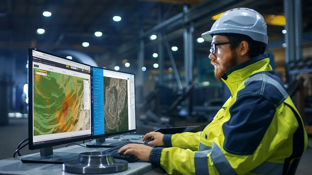
Trimble is offering a sophisticated solution for monitoring geohazards

Trimble and GroundProbe are introducing a new tool that will enable geotechnical customers to purchase a comprehensive slope stability monitoring portfolio from a single point of contact. GroundProbe customers can also purchase Trimble monitoring solutions to complement GroundProbe's range of sensors and software.

The system can assess slope stability, with integration between Trimble and GroundProbe sensors and software for smooth data flow. Incorporating the necessary mine monitoring sensors into one environment helps professionals visualise a picture of site conditions to improve decision making on slope stability risks and site safety.

Efficiency, reliability and safety can be improved in extreme site conditions due to effective slope stability monitoring.

For more information on companies in this article

Related Content

  • GPS machine control technology aids productivity
    February 21, 2012
    GPS technology offers contractors many benefits and product offerings are growing more diverse, Mike Woof reports. The benefit of GPS technology for the construction industry cannot be overstated.
  • Don't buy, subscribe instead... and stay ahead of the pack
    September 19, 2024
    The traditional way of doing things is to own the construction equipment you need on site. You can buy, or you can rent. You mix and match your technology needs with what is happening on site and your costs go up and down accordingly. However, a new model is emerging: Subscriptions. Take out a flat-fee plan and let someone else make sure you can get access to the latest thinking and the cleverest technology. Pete Kennedy reports.
  • IRD joins Canadian data vault project
    June 16, 2021
    International Road Dynamics it teaming up with Canada’s University of Manitoba and Canada’s National Research Council to develop a truck-traffic and road-weather monitoring facility.
  • Leica Geosystems introduces smart monitoring of structures
    October 1, 2014
    Highly sophisticated, the Leica GeoMoS Now! From Leica Geosystems is a new web-based application enables on-the-go visualisation and analysis of structural and ground movement monitoring data. With this package, large quantities of geodetic and geotechnical data are said to be easier to handle with simplified workflows using automatic configuration and distribution tools. The package can quickly notify users of any changes in data for faster, more informed responses. Leica GeoMoS Now! allows users t