Monitoring geohazards safely

March 11, 2025 Read time: 1 min
Trimble is offering a sophisticated solution for monitoring geohazards

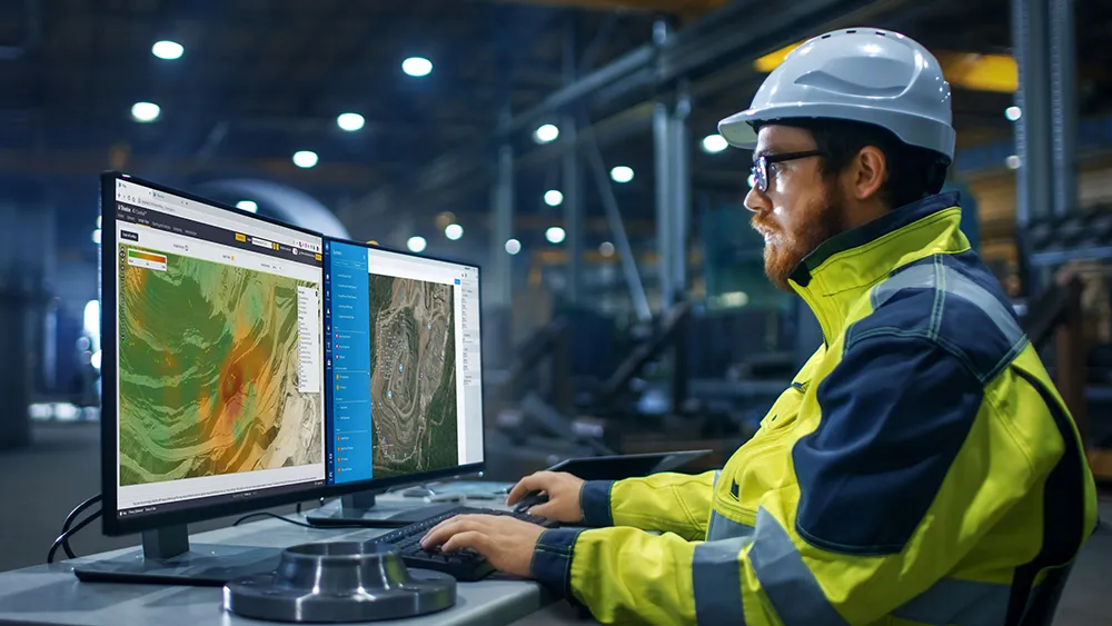
Trimble and GroundProbe are introducing a new tool that will enable geotechnical customers to purchase a comprehensive slope stability monitoring portfolio from a single point of contact. GroundProbe customers can also purchase Trimble monitoring solutions to complement GroundProbe's range of sensors and software.

The system can assess slope stability, with integration between Trimble and GroundProbe sensors and software for smooth data flow. Incorporating the necessary mine monitoring sensors into one environment helps professionals visualise a picture of site conditions to improve decision making on slope stability risks and site safety.

Efficiency, reliability and safety can be improved in extreme site conditions due to effective slope stability monitoring.

For more information on companies in this article

Related Content

  • 10 years of smart excavation
    March 6, 2024

    It is now 10 years since Komatsu introduced its intelligent machine control technology intended to help customers achieve more work in less time and with higher quality.

  • 10 years of smart excavation with Komatsu
    March 13, 2024

    It is now 10 years since Komatsu introduced its intelligent machine control technology intended to help customers achieve more work in less time and with higher quality.

  • Digital Construction Works develops new fully-integrated monitoring platform
    October 6, 2022
    Machine control specialist DCW (Digital Construction Works) has combined Topcon's monitoring platform with Bentley's Sensemetrics package to create a new solution that ties IoT sensors and monitoring systems to give contractors rapid project information in near real-time.
  • Data handling for efficient machine control
    October 16, 2012
    The rapid increase in information availability is transforming the construction sector. Conventional methods used for sourcing geographic data based on maps and localised sampling meant that there was often a lack of accurate information relating to ground conditions at specific areas where work was planned, often resulting in unwelcome surprises for construction companies along with additional costs for projects.