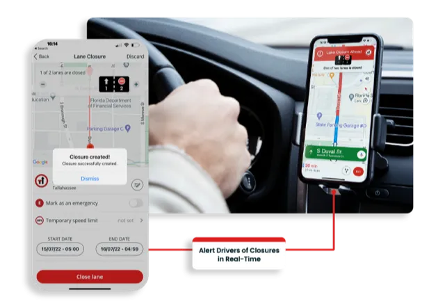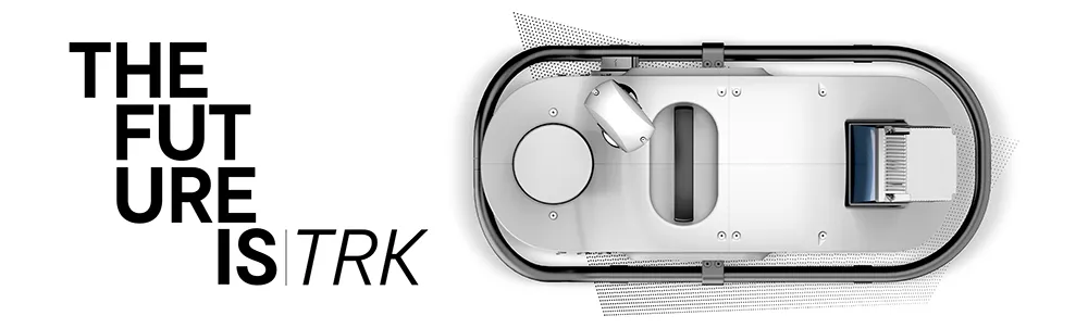
The Leica Pegasus TRK solution utilises artificial intelligence capabilities to transform mobile mapping. The advanced dynamic laser scanning and expandible imagery system for recording, measuring and visualising environments increases productivity with automated, intelligent workflows. The Pegasus TRK is so light that it can be operated by one person, making mapping projects more efficient and cost-effective.
Because of the system’s user-friendliness, it is suitable for professionals who are new to the technology. At the same time, its reliable, high-quality deliverables serve the needs of technical experts in various industries, including surveying, transportation and utilities. The Pegasus TRK solution features an AI-enhanced camera and automatic camera calibration. To comply with privacy regulations, its AI can identify and blur identifiers, such as people and vehicles, in real time.
The Pegasus TRK solution enables long-range mobile mapping for applications in asset management; road construction; rail and critical infrastructure; oil, gas and electricity industries and more. The system is also ideal for creating high-definition base maps for autonomous vehicles.
Connect the Pegasus TRK with the new powerful Leica Pegasus FIELD software for fully autonomous and secure data collection and route planning in the field. It also connects with the Leica Cyclone Pegasus OFFICE for seamless input into post-processing and publishing workflows.
The Pegasus FIELD combines multiple positioning signals from the mobile mapping system, constantly monitors signal quality and availability, checks against system health, battery capacity and storage space. It leverages all of this information to support you in confidently finishing projects successfully.
For mobile mapping professionals across the spectrum - from new entrants to experts - who are looking to apply mobile mapping to a broad range of applications, the Leica Pegasus TRK is an autonomous and intelligent mobile reality capture solution that is characterised by simplicity and ease of use. Unchallenged in performance and accuracy, the Pegasus TRK boosts efficiency from field to office, and is robust and reliable from project planning, data collection, processing through to delivery of a digital twin with an all-new workflow.
Content produced in association with Leica Geosystems