Mobile mapping innovation

There are millions of kilometres of roads and features that need to be mapped in today’s world. We see a strong vision and application for the future, therefore Leica Geosystems, part of Hexagon, recently announced the introduction of the reality capture mobile mapping system Leica Pegasus TRK, introducing artificial intelligence, autonomous workflows and intuitive interfaces. This technology goes beyond the capabilities of what’s already been done, making it the perfect companion for today’s mobile mapping requirements.
June 1, 2022 Read time: 2 mins
Leica Pegasus TRK

The Leica Pegasus TRK solution utilises artificial intelligence capabilities to transform mobile mapping. The advanced dynamic laser scanning and expandible imagery system for recording, measuring and visualising environments increases productivity with automated, intelligent workflows. The Pegasus TRK is so light that it can be operated by one person, making mapping projects more efficient and cost-effective.

Because of the system’s user-friendliness, it is suitable for professionals who are new to the technology. At the same time, its reliable, high-quality deliverables serve the needs of technical experts in various industries, including surveying, transportation and utilities. The Pegasus TRK solution features an AI-enhanced camera and automatic camera calibration. To comply with privacy regulations, its AI can identify and blur identifiers, such as people and vehicles, in real time.

The Pegasus TRK solution enables long-range mobile mapping for applications in asset management; road construction; rail and critical infrastructure; oil, gas and electricity industries and more. The system is also ideal for creating high-definition base maps for autonomous vehicles.

Connect the Pegasus TRK with the new powerful Leica Pegasus FIELD software for fully autonomous and secure data collection and route planning in the field. It also connects with the Leica Cyclone Pegasus OFFICE for seamless input into post-processing and publishing workflows.  

The Pegasus FIELD combines multiple positioning signals from the mobile mapping system, constantly monitors signal quality and availability, checks against system health, battery capacity and storage space. It leverages all of this information to support you in confidently finishing projects successfully.

For mobile mapping professionals across the spectrum - from new entrants to experts - who are looking to apply mobile mapping to a broad range of applications, the Leica Pegasus TRK is an autonomous and intelligent mobile reality capture solution that is characterised by simplicity and ease of use. Unchallenged in performance and accuracy, the Pegasus TRK boosts efficiency from field to office, and is robust and reliable from project planning, data collection, processing through to delivery of a digital twin with an all-new workflow.

Content produced in association with Leica Geosystems

For more information on companies in this article

Related Content

  • IPC Global's EN Standards Tester
    January 3, 2013
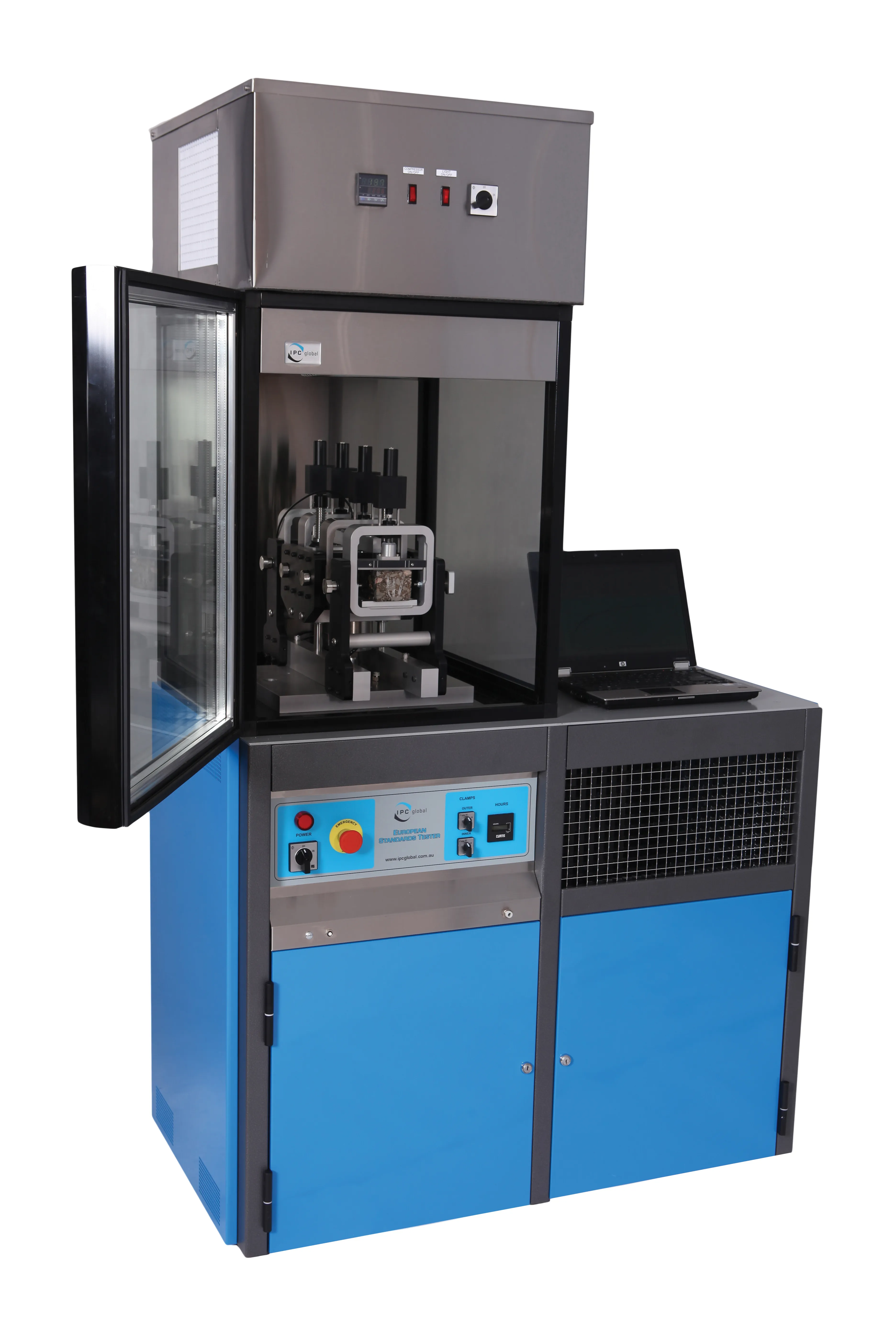
    IPC Global has launched the EN Standards Tester, a servo-hydraulic testing machine which allows users to carry out all the most popular EN12687 tests for asphalt mixtures on one machine. The EN Standards Tester offers a cost-effective alternative to Universal Testing Machines (UTMs), said IPC Global’s chief executive officer Kieran McGrane. “This machine has been targeted at a specific number of tests, therefore it is more compact and more economical,” he explained. “UTMs are used mostly by research organis
  • FEHRL holds successful infrastructure research event in Brussels
    June 22, 2015
    FEHRL recently held the FIRM15 event in Brussels, focussing on innovative maintenance of transport infrastructure In all some 110 transport infrastructure research experts from Europe and beyond met for the 2015 FEHRL Infrastructure Research Meeting (FIRM15) at the Diamant Centre in Brussels, Belgium. These professionals discussed the overall theme of 'Innovative maintenance of transport infrastructure: Faster, cheaper, more reliable, safer and greener'. Throughout the two-day conference, several solution
  • High definition traffic camera
    February 14, 2012
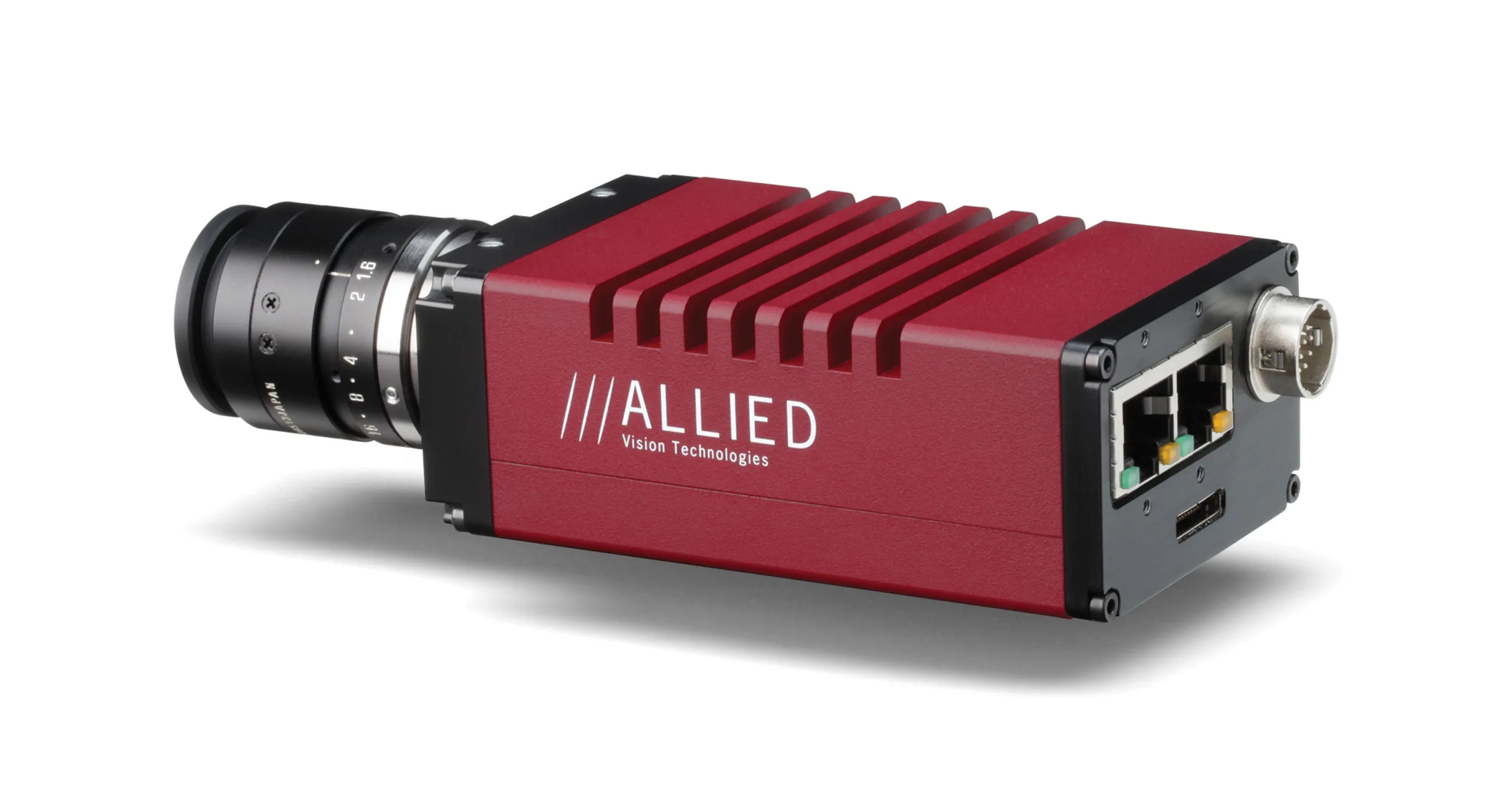
    A SOPHISTICATED high definition (HD) Prosilica camera is being offered by Allied Vision Technologies (AVT) for use in traffic applications. This GX1920 unit is said to offer near infrared sensitivity and low light imaging performance in HD format. The camera has the 240MB/s data transmission capability of the GX series of dual GigE Vision cameras from AVT. It is said to have high light response in both the infrared and visible regions of the spectrum due to the use of the new Sony ICX674 CCD sensor with ExV
  • US plans alternative energy sources for transportation
    April 26, 2012
    The US Department of Energy (DOE) has published its first Quadrennial Technology Review, which identifies six key strategies to address current energy challenges. Crucially the review indicates that among the transport strategies, the greatest effort will be devoted to electrification of light-duty vehicles. While in the fiscal year 2011 only 9% of DOE’s research budget went to electric vehicles, this field will be given greater support in the coming years with the view of reducing US oil dependency in the