Mobile mapping innovation

There are millions of kilometres of roads and features that need to be mapped in today’s world. We see a strong vision and application for the future, therefore Leica Geosystems, part of Hexagon, recently announced the introduction of the reality capture mobile mapping system Leica Pegasus TRK, introducing artificial intelligence, autonomous workflows and intuitive interfaces. This technology goes beyond the capabilities of what’s already been done, making it the perfect companion for today’s mobile mapping requirements.
June 1, 2022 Read time: 2 mins
Leica Pegasus TRK

The Leica Pegasus TRK solution utilises artificial intelligence capabilities to transform mobile mapping. The advanced dynamic laser scanning and expandible imagery system for recording, measuring and visualising environments increases productivity with automated, intelligent workflows. The Pegasus TRK is so light that it can be operated by one person, making mapping projects more efficient and cost-effective.

Because of the system’s user-friendliness, it is suitable for professionals who are new to the technology. At the same time, its reliable, high-quality deliverables serve the needs of technical experts in various industries, including surveying, transportation and utilities. The Pegasus TRK solution features an AI-enhanced camera and automatic camera calibration. To comply with privacy regulations, its AI can identify and blur identifiers, such as people and vehicles, in real time.

The Pegasus TRK solution enables long-range mobile mapping for applications in asset management; road construction; rail and critical infrastructure; oil, gas and electricity industries and more. The system is also ideal for creating high-definition base maps for autonomous vehicles.

Connect the Pegasus TRK with the new powerful Leica Pegasus FIELD software for fully autonomous and secure data collection and route planning in the field. It also connects with the Leica Cyclone Pegasus OFFICE for seamless input into post-processing and publishing workflows.  

The Pegasus FIELD combines multiple positioning signals from the mobile mapping system, constantly monitors signal quality and availability, checks against system health, battery capacity and storage space. It leverages all of this information to support you in confidently finishing projects successfully.

For mobile mapping professionals across the spectrum - from new entrants to experts - who are looking to apply mobile mapping to a broad range of applications, the Leica Pegasus TRK is an autonomous and intelligent mobile reality capture solution that is characterised by simplicity and ease of use. Unchallenged in performance and accuracy, the Pegasus TRK boosts efficiency from field to office, and is robust and reliable from project planning, data collection, processing through to delivery of a digital twin with an all-new workflow.

Content produced in association with Leica Geosystems

For more information on companies in this article

Related Content

  • The IRF is committed to Africa’s Transport Agenda
    March 13, 2014
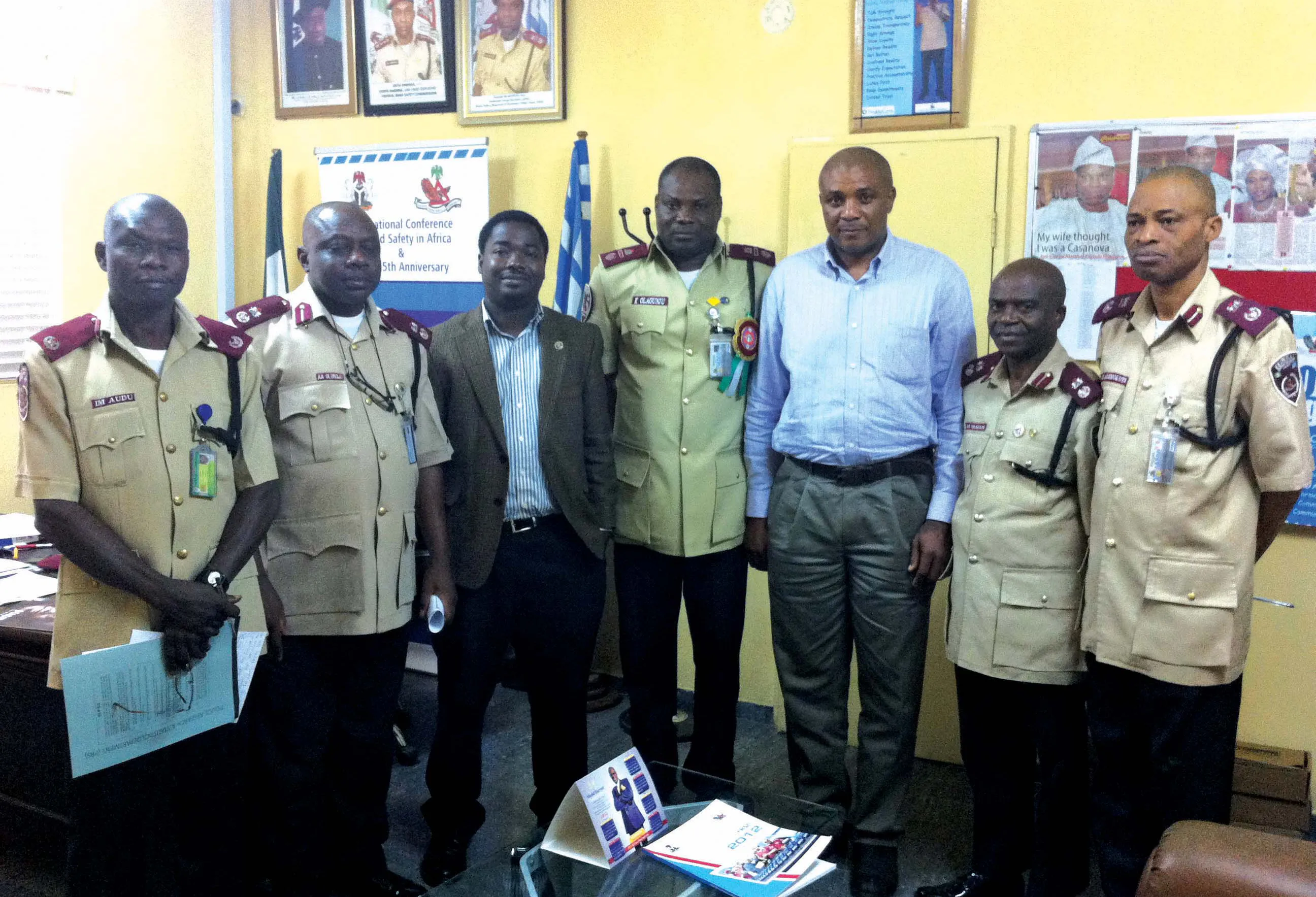
    Regional Congress to take place June 4-6 in Abuja, Nigeria The 17th IRF World Meeting & Exhibition created opportunities for stakeholder discussions around global as well as regional agendas. More than 50 participants representing heads of government agencies, development partners, academia, and contractors took part in an interactive roundtable discussion on the supply and provision of transport infrastructure on the African continent. Topics ranging from safety to the qualifications needed for th
  • Hamm | Self-monitoring in earthworks via Smart Doc
    April 1, 2021
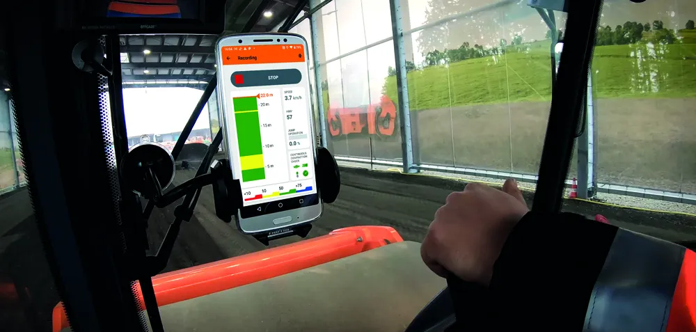
    With Smart Doc, Hamm presents an app with which compaction in earthworks can be transparently documented and the result shared with third parties. The lean app was developed in close coordination with building practitioners. The focus here was on the possibility of self-monitoring when it comes to compaction in earthworks. Smart Doc also fulfils the minimum requirements of continuous compaction control (CCC). With an intuitive user interface, the app also creates added value when training new roller operators, as all relevant compaction parameters are visualised in real time on the smartphone.
  • Ground control to mining truck offers efficiency gains
    June 19, 2015
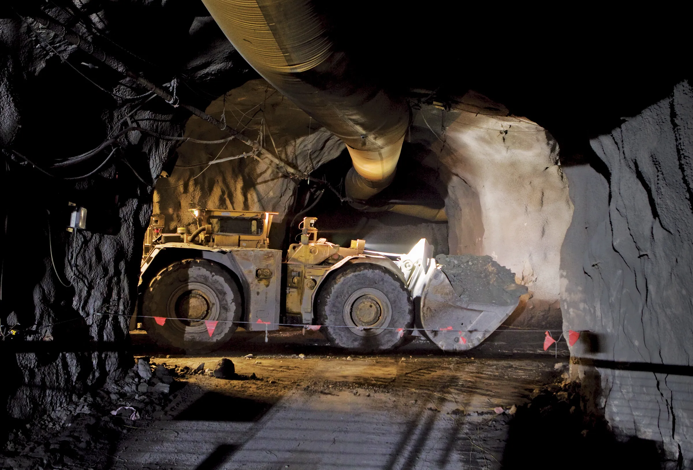
    Autonomous and remote control machines are not about to take over the world, but they can provide efficiency gains and savings in some operations – Colin Sowman writes The thought of autonomous machines may conjure up visions of an Orwellian future where society works for the ‘common good’ defined by an all-powerful being and in which people are insignificant in terms of their needs, aspirations and physical wellbeing; of machines that relentlessly carry out their task regardless of anybody or anything that
  • Hilti smart fasteners make documenting anchor installations easy
    March 9, 2020
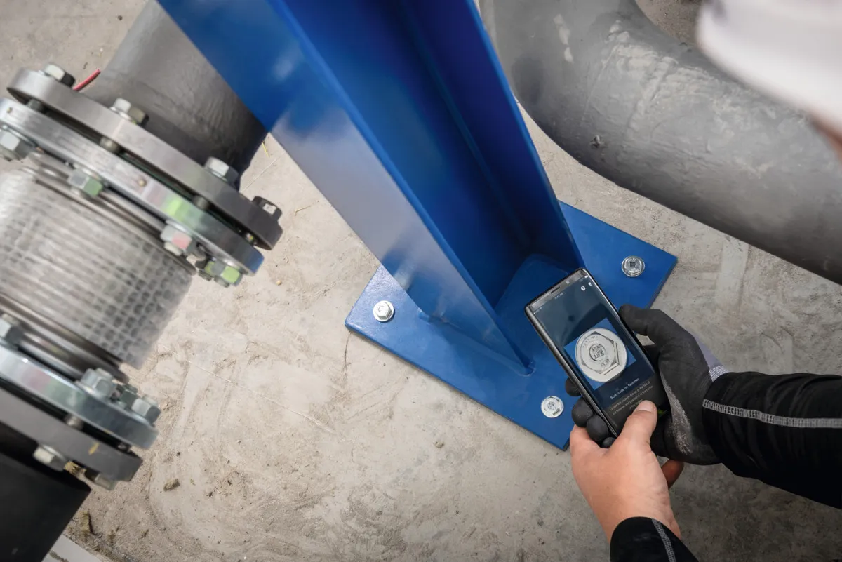
    Digitally enabled ‘smart’ fasteners lead Hilti’s bid to exploit the potential of IoT