Technology is now available that will allow regular monitoring of the retroreflectivity of road markings.
This new system can carry out the monitoring task safely and economically even when the carrier vehicle is moving at normal traffic speed. As a result this ensures that there is no interference to traffic flows, according to manufacturer Reflective Measurement Systems (RMS). The newly developed equipment can be attached to the front of a testing vehicle. The firm says that the RetroTek-M can survey six

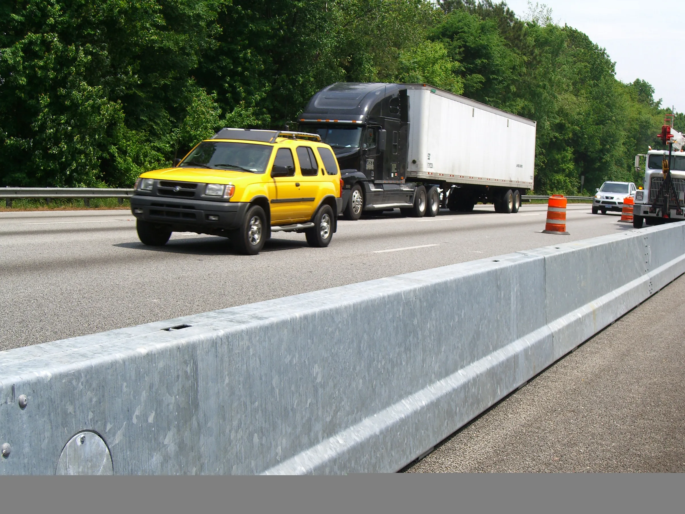
Technology is now available that will allow regular monitoring of the retroreflectivity of road markings.
This new system can carry out the monitoring task safely and economically even when the carrier vehicle is moving at normal traffic speed. As a result this ensures that there is no interference to traffic flows, according to manufacturer8451 Reflective Measurement Systems (RMS). The newly developed equipment can be attached to the front of a testing vehicle. The firm says that the RetroTek-M can survey six streams of data in a single pass. This capability allows it to measure the retroreflectivity of multiple longitudinal and transverse lines and objects, all at the same time.
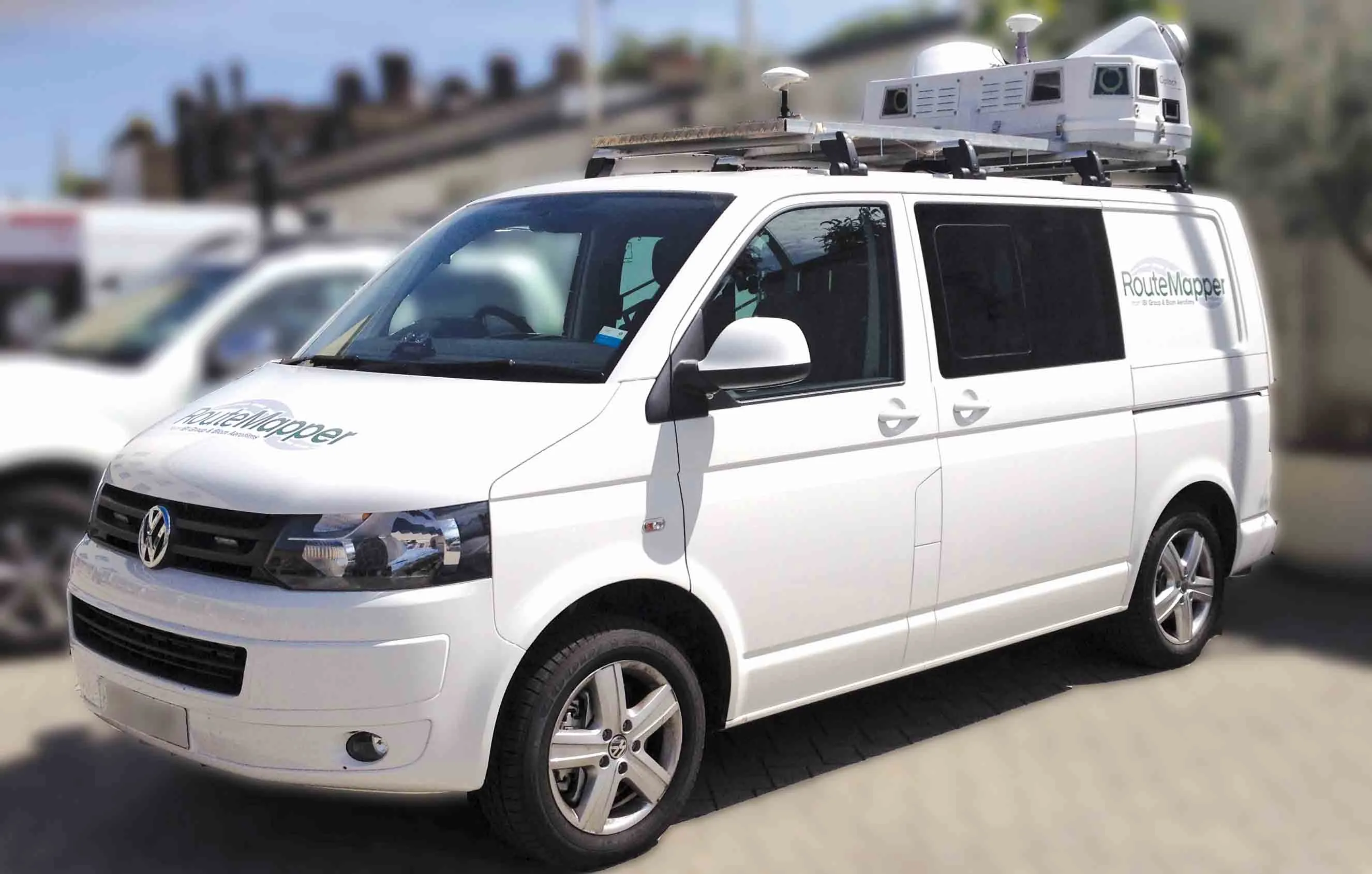
The system features sophisticated machine vision cameras as well as advanced software to locate markings and objects for surveying. The company claims that the cameras can capture images across full lane widths. These images are illuminated by a projected light source in a geometry conforming to the relevant standards EN1463 and ASTM E1710. However the versatility of the system means that the driver can carry on with operating the vehicle safely and without need to drive specifically close to any road markings or markers. In addition, the company is now offering its sophisticated RetroTekView suite of reporting software, which can be used both for single and multiple surveys. The company has also developed an online interactive survey management tool.
This new system can carry out the monitoring task safely and economically even when the carrier vehicle is moving at normal traffic speed. As a result this ensures that there is no interference to traffic flows, according to manufacturer
The system features sophisticated machine vision cameras as well as advanced software to locate markings and objects for surveying. The company claims that the cameras can capture images across full lane widths. These images are illuminated by a projected light source in a geometry conforming to the relevant standards EN1463 and ASTM E1710. However the versatility of the system means that the driver can carry on with operating the vehicle safely and without need to drive specifically close to any road markings or markers. In addition, the company is now offering its sophisticated RetroTekView suite of reporting software, which can be used both for single and multiple surveys. The company has also developed an online interactive survey management tool.