Leica’s growing support network

Leica Geosystems has launched Leica Zeno Office v3.1 and Leica MobileMatriX v5.1 software updates for the Zeno GIS series. Leica Zeno Office v3.1 and MobileMatriX v5.1 now support the new Leica CS25 GNSS, an innovative tablet computer and high accuracy data collector; Esri ArcGIS 10.0/10.1; and post-processing accuracy improvements. Johannes Hotz, senior product manager, says: “Both Zeno Office, in combination with Leica Zeno Field, and MobileMatriX further support the measurement of positions and associate
April 23, 2013 Read time: 2 mins

Leica Geosystems has launched Leica Zeno Office v3.1 and Leica MobileMatriX v5.1 software updates for the Zeno GIS series.

265 Leica Zeno Office v3.1 and MobileMatriX v5.1 now support the new Leica CS25 GNSS, an innovative tablet computer and high accuracy data collector; Esri ArcGIS 10.0/10.1; and post-processing accuracy improvements.

Johannes Hotz, senior product manager, says: “Both Zeno Office, in combination with Leica Zeno Field, and MobileMatriX further support the measurement of positions and associated information of items of economic value that are owned by an individual, the public or an organisation. This associated information includes support for feature and attribute rich data collection in addition to the capture, management and storage of survey grade geometry. This means that for every stage in the asset management life cycle our valued clients can collect rich and accurate data, while maintaining the integrity of their data model.”

The combination of the Leica CS25 GNSS and MobileMatriX is said to ensure that asset collection and post-processing of GNSS raw data can now been done in one application and on one device, bringing field and office application together into a highly portable solution. Support for file based geodatabases ensures that the user can take data into the field, while, at the same time, benefiting from claimed unmatched performance in terms of file size and speed.

Leica MobileMatriX v5.1 also supports the latest sensors from Leica Geosystems to ensure compatibility of MobileMatriX with other Leica Geosystems technology (Zeno GG03 SmartAntenna, Zeno CS25 GNSS tablet computer, Leica GS14 and the new Leica FlexLine plus series).

For more information on companies in this article

Related Content

  • New non-destructive testing technologies for roads and bridges
    July 11, 2018
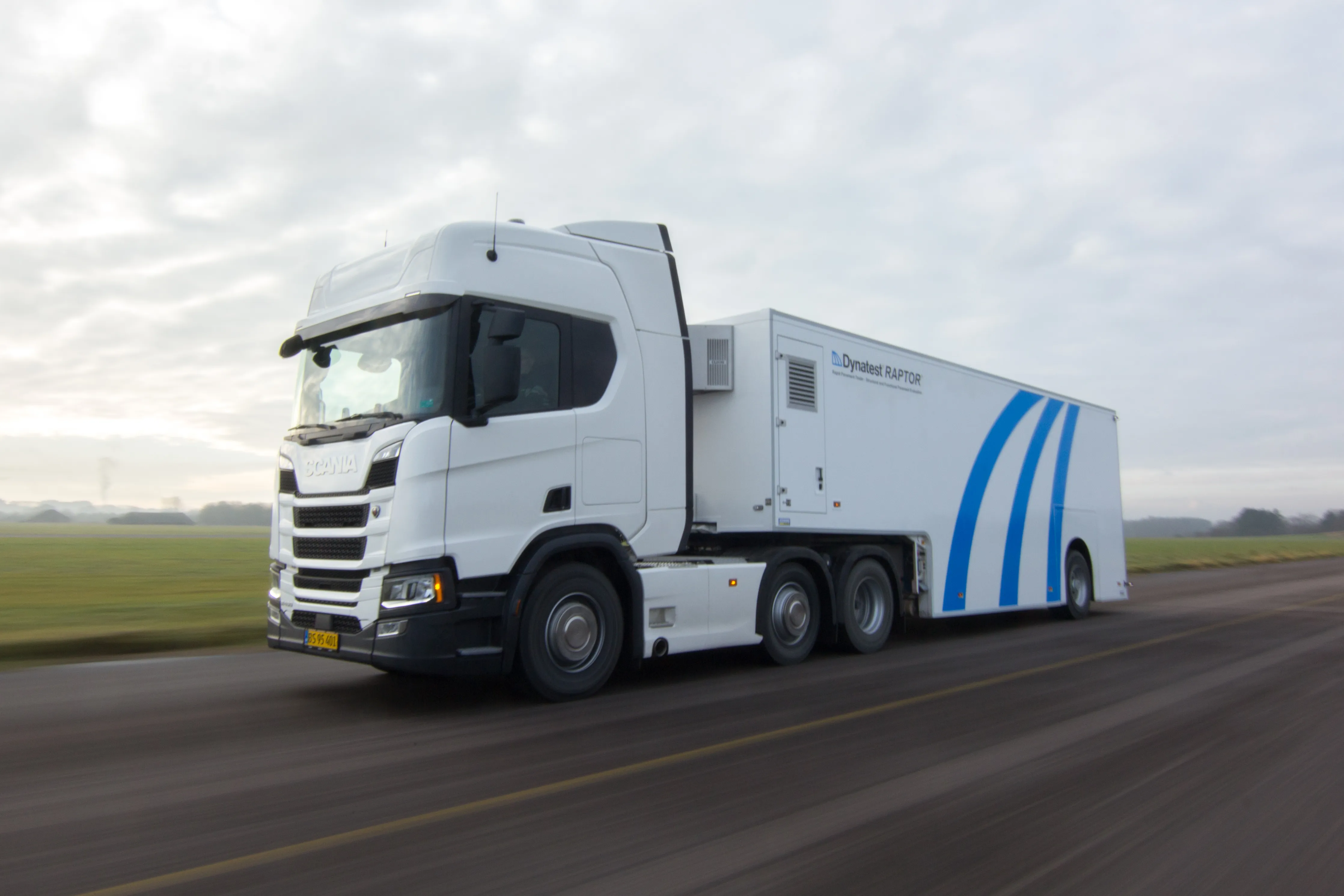
    Two new technologies for non-destructive testing offer key benefits, one suiting road surfaces, the other suiting concrete structures - Kristina Smith reports Dynatest has developed a new way to measure and record the state of pavements, using a machine that travels at the same speed as traffic. The Rapid Pavement Tester (Raptor) has been seven years in the making and offers road owners the chance to have comprehensive surveys without the need to disrupt traffic. “People have been wanting to do this for
  • Continued connectivity reflect Trimble launches
    January 6, 2017
    Three new solutions from Trimble Heavy Civil Construction designed to connect the construction site and lead to increased efficiency and reduced costs has been unveiled at the show. The solutions for heavy civil construction professionals include the Trimble Connected Office, the Trimble Connected Controller and the Trimble Connected Machine.
  • Continued connectivity reflect Trimble launches
    April 16, 2012
    Three new solutions from Trimble Heavy Civil Construction designed to connect the construction site and lead to increased efficiency and reduced costs has been unveiled at the show. The solutions for heavy civil construction professionals include the Trimble Connected Office, the Trimble Connected Controller and the Trimble Connected Machine.
  • Advanced road drainage system
    February 13, 2012
    An advanced approach to maintenance is helping ensure that the UK county of Kent keeps on top of road drainage. Kent Highway Services (KHS) has a network of some 8,400km of roads and drains, which requires a fleet of vehicles to maintain and support. In order to keep traffic moving and avoid flooding hazards for motorists, road drainage systems have to be consistently monitored and maintained. Previously this was carried out on a reactive basis, but this has proved to be neither cost effective nor efficient