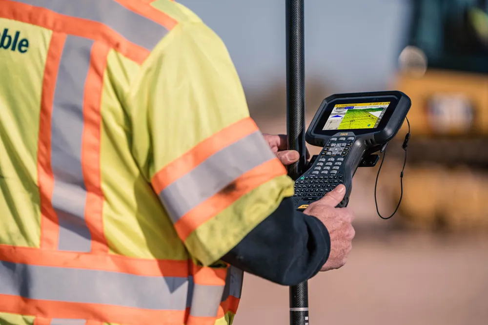
Leica Geosystems has launched Leica Zeno Office v3.1 and Leica MobileMatriX v5.1 software updates for the Zeno GIS series. Leica Zeno Office v3.1 and MobileMatriX v5.1 now support the new Leica CS25 GNSS, an innovative tablet computer and high accuracy data collector; Esri ArcGIS 10.0/10.1; and post-processing accuracy improvements. Johannes Hotz, senior product manager, says: “Both Zeno Office, in combination with Leica Zeno Field, and MobileMatriX further support the measurement of positions and associate
April 23, 2013
Read time: 2 mins

Leica Geosystems has launched Leica Zeno Office v3.1 and Leica MobileMatriX v5.1 software updates for the Zeno GIS series.
Johannes Hotz, senior product manager, says: “Both Zeno Office, in combination with Leica Zeno Field, and MobileMatriX further support the measurement of positions and associated information of items of economic value that are owned by an individual, the public or an organisation. This associated information includes support for feature and attribute rich data collection in addition to the capture, management and storage of survey grade geometry. This means that for every stage in the asset management life cycle our valued clients can collect rich and accurate data, while maintaining the integrity of their data model.”
The combination of the Leica CS25 GNSS and MobileMatriX is said to ensure that asset collection and post-processing of GNSS raw data can now been done in one application and on one device, bringing field and office application together into a highly portable solution. Support for file based geodatabases ensures that the user can take data into the field, while, at the same time, benefiting from claimed unmatched performance in terms of file size and speed.
Leica MobileMatriX v5.1 also supports the latest sensors from Leica Geosystems to ensure compatibility of MobileMatriX with other Leica Geosystems technology (Zeno GG03 SmartAntenna, Zeno CS25 GNSS tablet computer, Leica GS14 and the new Leica FlexLine plus series).


