Leica’s growing support network

Leica Geosystems has launched Leica Zeno Office v3.1 and Leica MobileMatriX v5.1 software updates for the Zeno GIS series. Leica Zeno Office v3.1 and MobileMatriX v5.1 now support the new Leica CS25 GNSS, an innovative tablet computer and high accuracy data collector; Esri ArcGIS 10.0/10.1; and post-processing accuracy improvements. Johannes Hotz, senior product manager, says: “Both Zeno Office, in combination with Leica Zeno Field, and MobileMatriX further support the measurement of positions and associate
April 23, 2013 Read time: 2 mins

Leica Geosystems has launched Leica Zeno Office v3.1 and Leica MobileMatriX v5.1 software updates for the Zeno GIS series.

265 Leica Zeno Office v3.1 and MobileMatriX v5.1 now support the new Leica CS25 GNSS, an innovative tablet computer and high accuracy data collector; Esri ArcGIS 10.0/10.1; and post-processing accuracy improvements.

Johannes Hotz, senior product manager, says: “Both Zeno Office, in combination with Leica Zeno Field, and MobileMatriX further support the measurement of positions and associated information of items of economic value that are owned by an individual, the public or an organisation. This associated information includes support for feature and attribute rich data collection in addition to the capture, management and storage of survey grade geometry. This means that for every stage in the asset management life cycle our valued clients can collect rich and accurate data, while maintaining the integrity of their data model.”

The combination of the Leica CS25 GNSS and MobileMatriX is said to ensure that asset collection and post-processing of GNSS raw data can now been done in one application and on one device, bringing field and office application together into a highly portable solution. Support for file based geodatabases ensures that the user can take data into the field, while, at the same time, benefiting from claimed unmatched performance in terms of file size and speed.

Leica MobileMatriX v5.1 also supports the latest sensors from Leica Geosystems to ensure compatibility of MobileMatriX with other Leica Geosystems technology (Zeno GG03 SmartAntenna, Zeno CS25 GNSS tablet computer, Leica GS14 and the new Leica FlexLine plus series).

For more information on companies in this article

Related Content

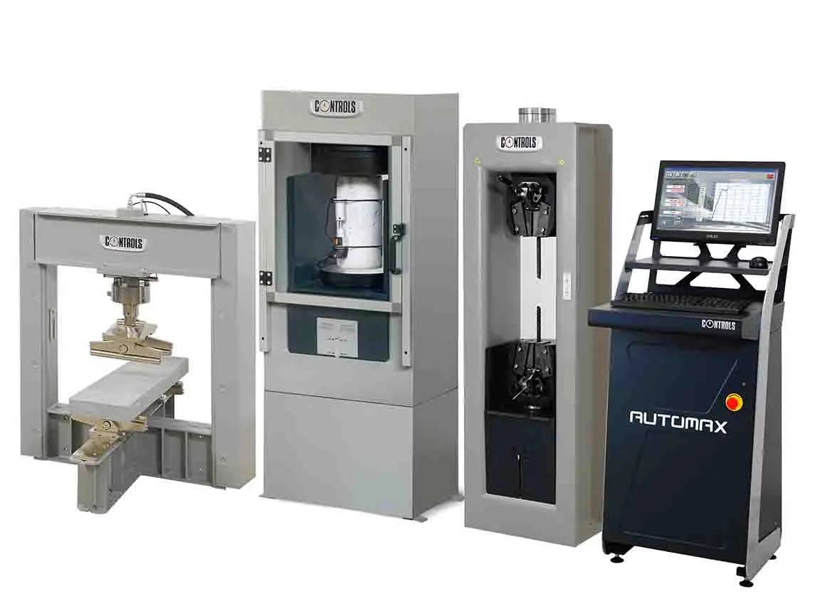
  • New tests, new technology, new users: why materials testing is a growing market
    February 7, 2017
    A look back at some of the developments this year, and a look ahead to what may come next reveals the increasing use of materials testing. New technology and new ways to process and analyse data will drive change even further - Kristina Smith reports For materials testing equipment manufacturers, constant change is business as usual. New tests emerge, new standards are written and new practices spread around regions and the world. There are also new materials to deal with: bitumen modified with polymers
  • New project software developed by Bentley
    February 8, 2018
    Bentley Systems claims that its OpenRoads ConceptStation modelling package allows highway engineering professionals to quickly build conceptual road and bridge models. The software allows rapid conceptual and preliminary design, using information obtained through point clouds, reality meshes, GIS, and other sources. OpenRoads ConceptStation combines engineering drawing tools and project costs to improve decision-making in the design phase. Benefits include increasing design productivity, identifying
  • Trimble is offering more sophisticated GNSS receivers
    January 6, 2017
    Trimble says that it is increasing the capabilities of its integrated GNSS survey receiver range. This line-up includes the Trimble R4, Trimble R6, Trimble R8 GNSS systems and is rounded out by the latest Trimble R10 GNSS System. The new improvements being added include increased satellite tracking and Real Time Kinematic (RTK) performance. These modernise the integrated receiver portfolio to add functionality, flexibility and capability as well as providing more options for surveyors.
  • Trimble is offering more sophisticated GNSS receivers
    March 8, 2013
    Trimble says that it is increasing the capabilities of its integrated GNSS survey receiver range. This line-up includes the Trimble R4, Trimble R6, Trimble R8 GNSS systems and is rounded out by the latest Trimble R10 GNSS System. The new improvements being added include increased satellite tracking and Real Time Kinematic (RTK) performance. These modernise the integrated receiver portfolio to add functionality, flexibility and capability as well as providing more options for surveyors.