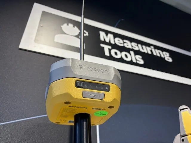
The Leica GMX901plus is said by the Swiss firm to be an “affordable and rugged” GNSS receiver that delivers precise and reliable data about movements of sensitive structures such as mine walls, rock slopes, dams, and buildings.
For time-critical applications that require high rate data and a higher accuracy the GMX901plus can be smoothly upgraded to a powerful L1/L2 GPS/GLONASS receiver with an update rate of 5Hz.
The 265 Leica GMX901plus is said by the Swiss firm to be an “affordable and rugged” GNSS receiver that delivers precise and reliable data about movements of sensitive structures such as mine walls, rock slopes, dams, and buildings.
For time-critical applications that require high rate data and a higher accuracy the GMX901plus can be smoothly upgraded to a powerful L1/L2 GPS/GLONASS receiver with an update rate of 5Hz.
Offering low power consumption, high quality measurement, simplicity, and durability, the Leica GMX901plus is said to be an ideal sensor for monitoring structural movements. It has a robust housing that is water, heat, cold and vibration resistant.
The basic GMX901plus is a L1 GPS receiver for cost-sensitive projects. For monitoring projects that require a higher accuracy and high-rate data, such as earthquakes, bridges, high-rise buildings, the GMX901plus can be smoothly upgraded to a powerful L1/L2 GPS/GLONASS receiver with an update rate of 5Hz. With this upgrade users take advantage of high accurate data and positions for a detailed deformation analysis, aiding the right decision when movements become critical.
The Leica GMX901plus connects seamlessly to the Leica GNSS Spider advanced GNSS processing software for coordinate calculation and raw data storage. The Leica GeoMoS monitoring software can be used to provide integration with other sensors, analysis of movements and calculation of limit checks. Third party analysis software can, says Leica, also be easily integrated via the standard NMEA interface of Leica GNSS Spider (RINEX).