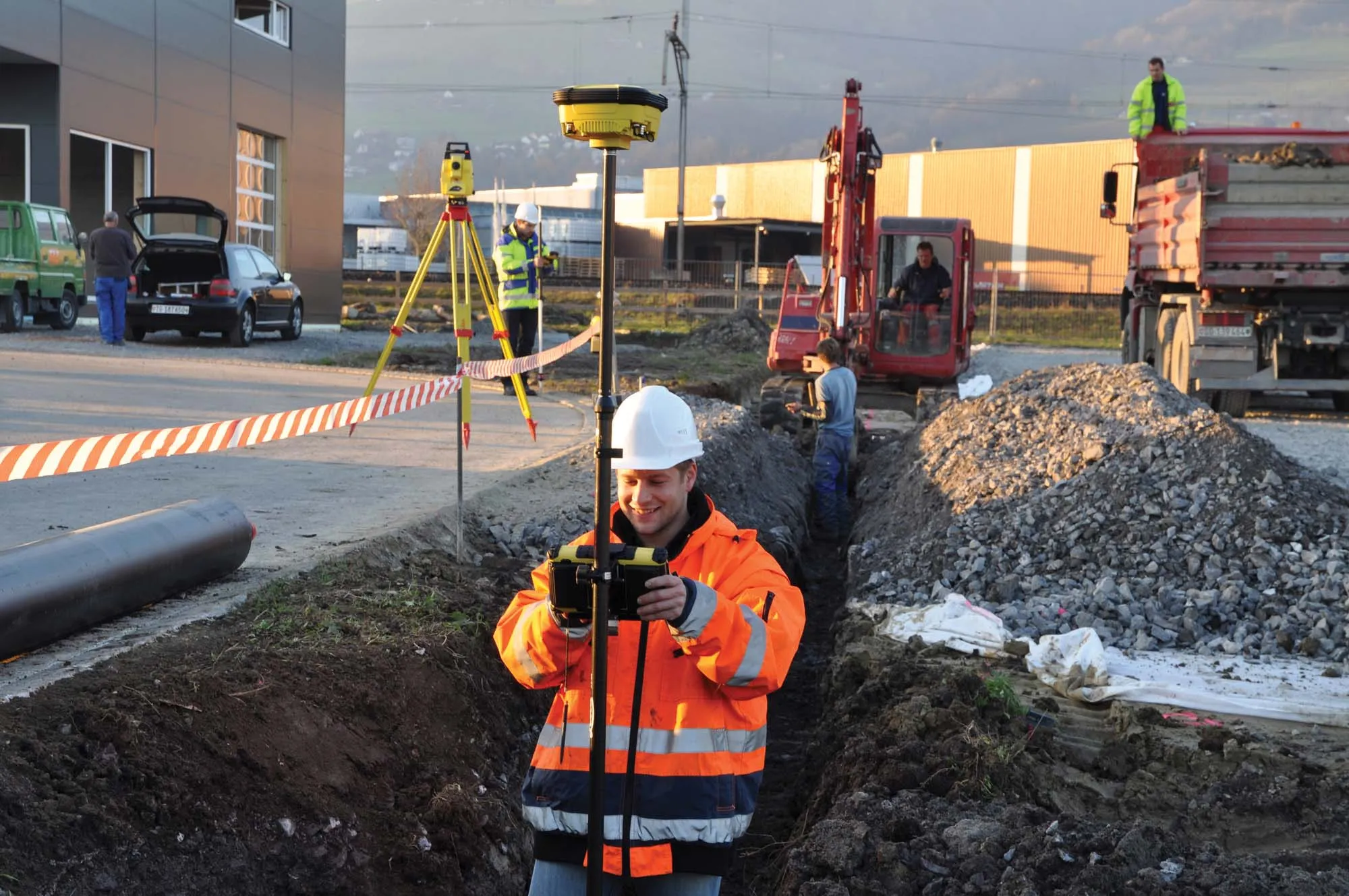
Leica Geosystems, the leading Swiss manufacturer of surveying instruments and measurement tools, has launched a new warranty and service package for its range of construction-related products. Protect by Leica Geosystems offers a lifetime manufacturer’s warranty, no cost for product repairs and maintenance associated with normal conditions of use, and certified quality. Makers of products to tackle onsite positioning, measuring, levelling, aligning and plumbing tasks, Leica Geosystems’ Protect package is sa
Leica Geosystems, the leading Swiss manufacturer of surveying instruments and measurement tools, has launched a new warranty and service package for its range of construction-related products.
Protect byThe free repair service includes the repair or replacement of all defective parts; product adjustment and calibration; a thorough functional test and safety check; maintenance, cleaning of product and carrying case.
Leica Geosystems runs calibration laboratories (No. SCS079), and a test laboratory (No. STS549). All are fully accredited by the SAS (Swiss Accreditation Service). The calibration and test certificates issued by Leica Geosystems are officially and internationally recognized for horizon, angle, distance, frequency, and laser classification. This confirmation of precision is said by the company to guarantee the highest possible reliability for its products. All laboratories are regularly controlled by an independent national institution according to ISO 17025.