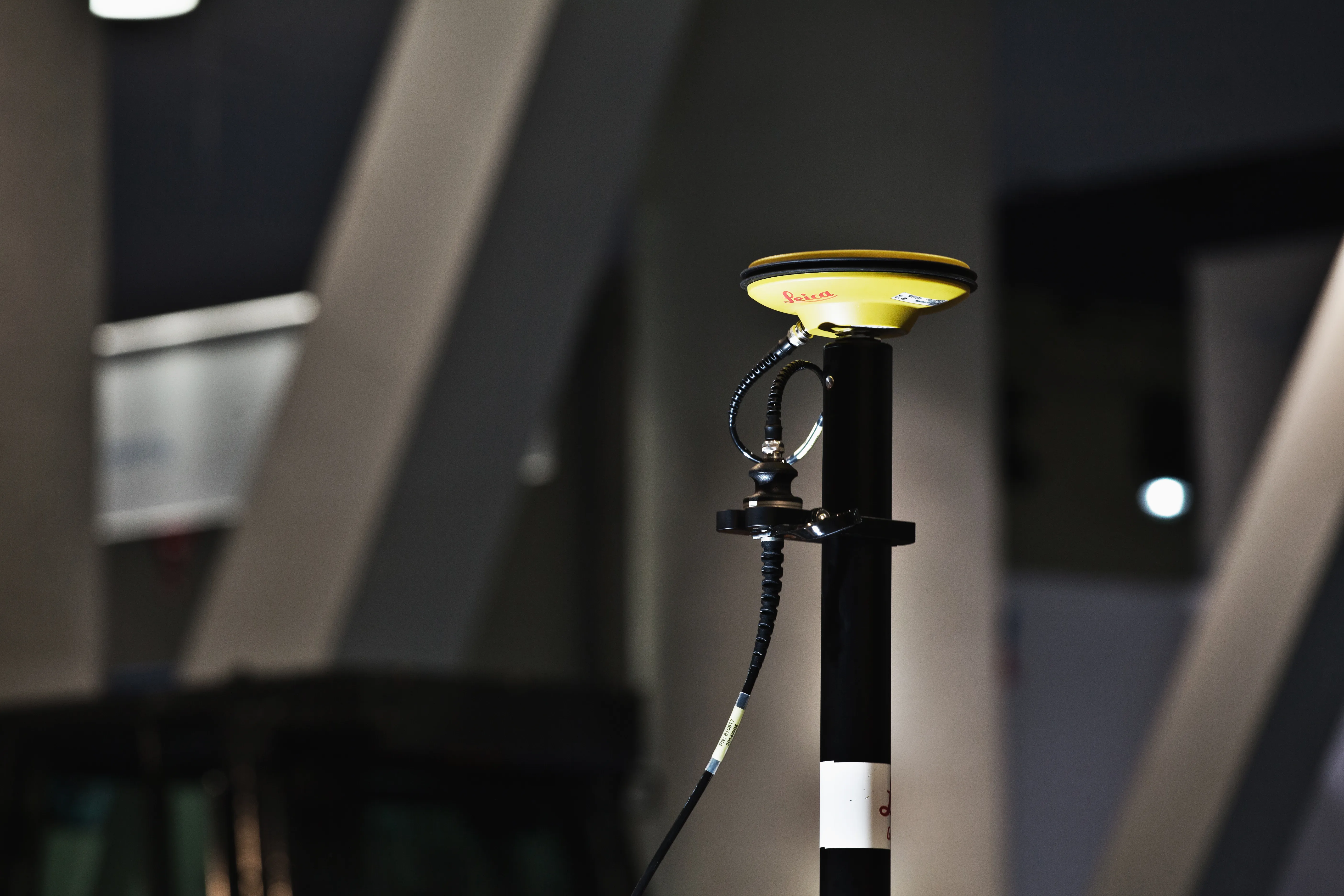
Leica Geosystems' smart GNSS antenna

Leica Geosystems is now offering a smart, versatile antenna for use in GNSS monitoring applications. The firm says that this high-quality device is customisable to fit a wide array of project requirements. The unit is sophisticated, while offering reliability and ease-of-use and combines both GNSS antenna and receiver. The new smart antenna can be used for monitoring installations in static, long-term projects. The unit can also enable dynamic monitoring with up to 10Hz data streaming and multi-freque
August 25, 2016 Read time: 1 min
265 Leica Geosystems is now offering a smart, versatile antenna for use in GNSS monitoring applications. The firm says that this high-quality device is customisable to fit a wide array of project requirements.

The unit is sophisticated, while offering reliability and ease-of-use and combines both GNSS antenna and receiver.

The new smart antenna can be used for monitoring installations in static, long-term projects. The unit can also enable dynamic monitoring with up to 10Hz data streaming and multi-frequency, multi-constellation tracking. Starting with the basic GPS single frequency receiver and adding multiple upgradable options, this antenna can be used for a wide range of monitoring projects. The antenna supports multiple GNSS satellite systems and signals and can track up to 555 channels.

The smart antenna is also fully integrated in the Leica GeoMoS deformation monitoring solution and connects to the Leica GNSS Spider system for GNSS processing duties.

For more information on companies in this article

Related Content

  • Electric slipforming with machine control
    December 13, 2024
    Electric slipforming has been carried out with machine control technology from Leica Geosystems.
  • Leica iCON grade iGD4 increases dozer functionality
    January 6, 2017
    The Leica iCON grade iGD4 solution which enables one dozer to do multiple types of grading work with speed and accuracy was launched has been launched at Conexpo 2014. The highly accurate and efficient iCON grade iGD4 dozer solution calculates the lift, angle, and tilt of the dozer’s six-way blade. It allows operators to angle their blade while iCON grade’s advanced hydraulic control system automatically controls the blade’s lift and tilt. As a result, dozers can now be run at the full extent of their capa
  • Leica iCON grade iGD4 increases dozer functionality
    March 6, 2014
    The Leica iCON grade iGD4 solution which enables one dozer to do multiple types of grading work with speed and accuracy was launched has been launched at Conexpo 2014. The highly accurate and efficient iCON grade iGD4 dozer solution calculates the lift, angle, and tilt of the dozer’s six-way blade. It allows operators to angle their blade while iCON grade’s advanced hydraulic control system automatically controls the blade’s lift and tilt. As a result, dozers can now be run at the full extent of their capa
  • Data collection key to software developments
    February 13, 2012
    The collection and handling of data are key technology drivers in the software sector. New methods of data collection and manipulation are driving significant developments in software at present. The latest technology allows designers and engineers to collect, store and manipulate ever larger amounts of data. Growing use of mobile field equipment for both data collection and field management is driving interactive systems. And in an interview this month Autodesk senior vice-president for the construction an