Leica Geosystems' smart GNSS antenna

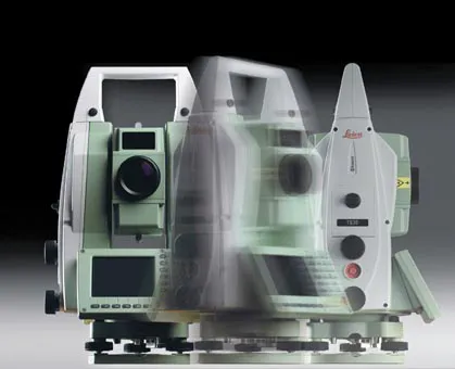
Leica Geosystems is now offering a smart, versatile antenna for use in GNSS monitoring applications. The firm says that this high-quality device is customisable to fit a wide array of project requirements. The unit is sophisticated, while offering reliability and ease-of-use and combines both GNSS antenna and receiver. The new smart antenna can be used for monitoring installations in static, long-term projects. The unit can also enable dynamic monitoring with up to 10Hz data streaming and multi-freque
August 25, 2016 Read time: 1 min
265 Leica Geosystems is now offering a smart, versatile antenna for use in GNSS monitoring applications. The firm says that this high-quality device is customisable to fit a wide array of project requirements.

The unit is sophisticated, while offering reliability and ease-of-use and combines both GNSS antenna and receiver.

The new smart antenna can be used for monitoring installations in static, long-term projects. The unit can also enable dynamic monitoring with up to 10Hz data streaming and multi-frequency, multi-constellation tracking. Starting with the basic GPS single frequency receiver and adding multiple upgradable options, this antenna can be used for a wide range of monitoring projects. The antenna supports multiple GNSS satellite systems and signals and can track up to 555 channels.

The smart antenna is also fully integrated in the Leica GeoMoS deformation monitoring solution and connects to the Leica GNSS Spider system for GNSS processing duties.

For more information on companies in this article

Related Content

  • The worksite of the (near) future
    February 1, 2021
    Innovations will impact efficiency and productivity in worksites of the future
  • BOMAG’s smart asphalt compaction technology in use
    May 25, 2016
    BOMAG’s highly sophisticated compaction control technology is now being used successfully on the highway project to link Warsaw with St Petersburg. The system is being employed in the rural area around the border triangle of Lithuania, Latvia and Belarus. Lithuanian road contractor Panevezio Keliai won the package of works to upgrade a stretch of the E262 in Zarasai. The project requires high quality as the E262 route links Warsaw with St Petersburg and carries a large volume of traffic, including a hig
  • Precision pinpointing
    March 1, 2012
    Leica Geosystems says that its TS30 package is a new high precision Total Station that meets highest standards in all surveying applications. Distances can now be measured with Leica Geosystems' proven PinPoint EDM Technology with an unprecedented precision of 0.6mm + 1ppm on prisms. On natural surfaces a high accuracy of 2mm + 2ppm up to 1,000m can be achieved.
  • Sophisticated technology allows milling accuracy
    January 14, 2021
    Given the increase in vehicle numbers and that modern vehicles are heavier, it is more important for modern highways to be constructed to higher standards than previously.