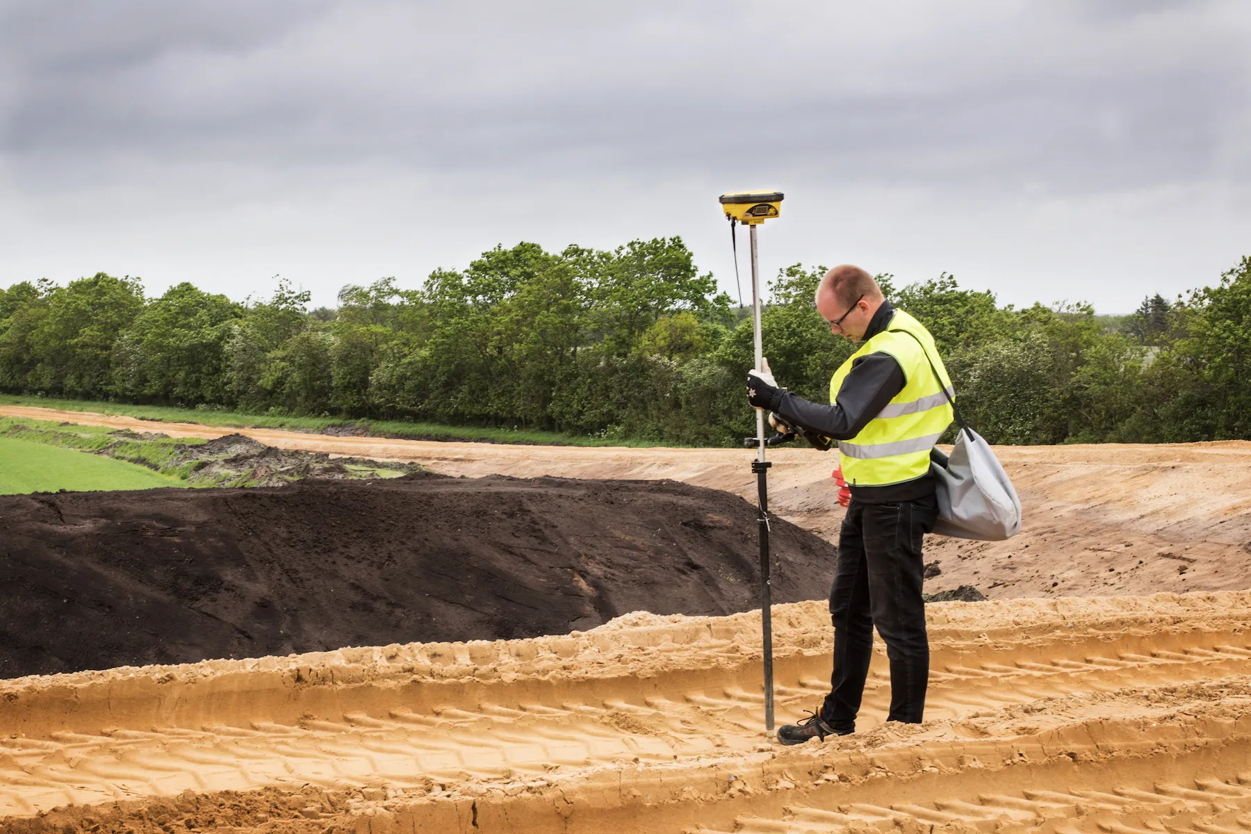
Leica Geosystems' smart GNSS antenna

Leica Geosystems is now offering a smart, versatile antenna for use in GNSS monitoring applications. The firm says that this high-quality device is customisable to fit a wide array of project requirements. The unit is sophisticated, while offering reliability and ease-of-use and combines both GNSS antenna and receiver. The new smart antenna can be used for monitoring installations in static, long-term projects. The unit can also enable dynamic monitoring with up to 10Hz data streaming and multi-freque
August 25, 2016 Read time: 1 min
265 Leica Geosystems is now offering a smart, versatile antenna for use in GNSS monitoring applications. The firm says that this high-quality device is customisable to fit a wide array of project requirements.

The unit is sophisticated, while offering reliability and ease-of-use and combines both GNSS antenna and receiver.

The new smart antenna can be used for monitoring installations in static, long-term projects. The unit can also enable dynamic monitoring with up to 10Hz data streaming and multi-frequency, multi-constellation tracking. Starting with the basic GPS single frequency receiver and adding multiple upgradable options, this antenna can be used for a wide range of monitoring projects. The antenna supports multiple GNSS satellite systems and signals and can track up to 555 channels.

The smart antenna is also fully integrated in the Leica GeoMoS deformation monitoring solution and connects to the Leica GNSS Spider system for GNSS processing duties.

For more information on companies in this article

Related Content

  • GOMACO and Leica Geosystems agree joint partnership
    March 5, 2012
    Leica Geosystems and GOMACO Corporation are forming a new business partnership. The deal will cover stringless control technology for the concrete paving market. Leica Geosystems is a leading manufacturer of stringless paving technology and has entered into a definitive OEM value added reseller agreement with GOMACO Corporation, a leader in concrete paving equipment. The deal follows 12 years in which the two firms have worked together closely.
  • Leica’s new Digicat xf-Series cable locators and transmitters
    January 28, 2013
    Leica Geosystems has launched the latest editions to the Digisystem product range: the Leica Digicat xf-Series. With Leica Geosystems’ new xf-Series cable locators and transmitters, users are said to be able to accurately detect and trace utilities faster and over a greater distance. The Leica Digicat xf-Series is said by the Swiss firm to have been specifically designed with long distance tracing in mind. The ability to trace transmitter frequencies of 512Hz and 640Hz provides users with a greater tracing r
  • Danish digging for Leica Geosystems’ 3D machine control
    October 26, 2017
    In Denmark’s northern Jutland, Leica Geosystems’ equipment is being used to help build a 40km motorway, one of the fastest-built such projects in the country’s history. The Danish Road Directorate is the client for the €5.4 million motorway between the two Danish cities of Herning, to the south with around 50,000 people, and Holstebro, a city of about 35,000 people, north of Herning. Preliminary ground investigations were made in 2013 and work started in 2015 with completion set for 2018.
  • Monitoring software update from Trimble
    November 15, 2019
    Trimble is offering an updated version of its real-time monitoring software, the 4D Control package. This Version 5.0 upgrade offers new features that allow users to streamline real-time structural monitoring system deployment as well as simplify the connection to geotechnical sensors. Trimble 4D Control software allows project stakeholders to monitor critical infrastructure such as dams and bridges along with buildings surrounding construction sites and tunnels.