
Know what lies below with Leica’s DSX 3D utility detection system

April 11, 2025 Read time: 1 min
No ordinary lawnmower: utilities can’t hide from Leica Geosystem’s DSX detection solution

Emergency road repair work needn’t create yet another emergency by hitting unknow utility pipes and other systems.  

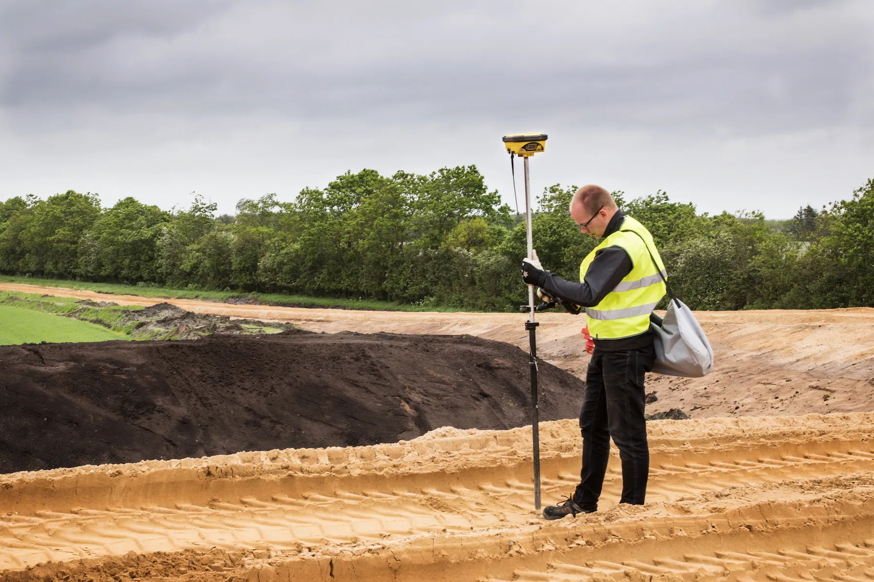
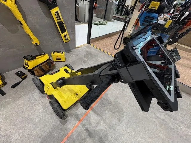
Leica Geosystems says its DSX utility detection solution can quickly be walked over the area where work is about to start and immediately show an excavator operator any dangers that lie below.

It locates, visualises and map utilities. Unlike any other ground penetrating radar system, the Leica DSX maximises productivity with cutting-edge software that automates data analysis and creates a 3D utility map of the field.

Leica DSX can be used together with Leica GPS/GNSS systems to generate highly accurate georeferenced maps.  

There is also a ‘quick scan’ mode for a quick utility, anomaly and ground condition check before a more detailed grid scan project gets underway.

Operators can add different background layers, such as Google Maps or DXF/DWG.

The solution can export, store, share and access data on major Cloud service providers. It can also maximise troubleshooting efficiency by sharing 
diagnostics data via the Cloud.

For more information on companies in this article

Related Content

  • Accurate deformation monitoring from Leica Geosystems
    March 7, 2017
    Leica Geosystems is now offering a sophisticated tool that allows engineers to measure deformation accurately. The Leica GeoMoS Now! Survey Edition is a service for monitoring and managing 3D deformation of points of potentially unstable areas for surveying projects. It has a streamlined workflow and can deliver monitoring reports of man-made structures or natural dangers to smart devices. Surveyors can use this to upload coordinates, process and visualise deformations, allowing other users to access result
  • Danish digging for Leica Geosystems’ 3D machine control
    October 26, 2017
    In Denmark’s northern Jutland, Leica Geosystems’ equipment is being used to help build a 40km motorway, one of the fastest-built such projects in the country’s history. The Danish Road Directorate is the client for the €5.4 million motorway between the two Danish cities of Herning, to the south with around 50,000 people, and Holstebro, a city of about 35,000 people, north of Herning. Preliminary ground investigations were made in 2013 and work started in 2015 with completion set for 2018.
  • Automatic control
    February 7, 2012
    Leica Geosystems says that sophisticated PowerDigger 2D guidance system for excavators offers automatic slope control. The system expands on its PowerSnap technology and is said to make excavating easier and more productive. The system uses a standard panel whether fitted to a dozer, excavator or grader, which is also said to save money on training and equipment, as well as reducing down time. Leica PowerDigger 2D system allows multiple elevations and slopes to be constructed at any orientation, witho
  • Rapid adoption of GPS machine control
    February 10, 2012
    The high sophistication of GPS machine control systems has resulted in a fast pace of technological advancement. The three major players in the machine control sector, Leica Geosystems, Topcon and Trimble have all made major gains in recent years. The sophistication of the latest systems can combine satellite position data from the GPS and GLONASS networks with information from total stations to provide precise, high speed machine operation. Further more the firms have also prepared themselves for the intro