It’s a level playing field with Leica’s iCON gps 70 Series

Efficiency is the name of the game from the iCON gps 70 Series, a GNSS rover from Leica Geosystems. With the iCON gps 70 T you can measure and stakeout points faster and without the need to keep the pole vertical and level the bubble. The combination of the latest GNSS technology and inertial measurement unit (IMU) equips the iCON gps 70 T with permanent tilt compensation and makes it resistant to any magnetic interference. Because the iCON gps 70 T is calibration-free, it can be ready instantly and any
April 27, 2018 Read time: 2 mins
Leica’s iCON gps 70: no need to keep the pole vertical and level the bubble

Efficiency is the name of the game from the iCON gps 70 Series, a GNSS rover from Leica Geosystems.

With the iCON gps 70 T you can measure and stakeout points faster and without the need to keep the pole vertical and level the bubble.

The combination of the latest GNSS technology and inertial measurement unit (IMU) equips the iCON gps 70 T with permanent tilt compensation and makes it resistant to any magnetic interference.

Because the iCON gps 70 T is calibration-free, it can be ready instantly and anywhere that it is needed.

The on-site operator can collect as-built field data and stake out designs faster while increasing accuracy and reduced errors. This also allows the operative to focus more on his or her safety in a hazardous environment.

The iCON gps 70 series is seamlessly integrated into the Leica iCON field software. By keeping the core central interface, following the unrivalled Leica iCON concept, the onsite operative can benefit from the simple-to-use workflows which require less training and avoid costly downtime.

The GNNSS technology allows 555 channels for more signals, faster acquisition
and improved sensitivity.

To ensure accuracy and continued use, the unit is IP66 / IP68 protected. It is also built for extreme temperatures of -40°C to +65°C.

Related Content

  • New Leica Geosystems grade control works in more applications
    April 23, 2015
    Leica Geosystems has introduced a dual-control system for graders that works in more applications, including crab walking and slope work.The Leica iCON grade iGG4 means designs and applications previously thought to be beyond control technology now can be handled
  • GPS machine control technology aids productivity
    February 21, 2012
    GPS technology offers contractors many benefits and product offerings are growing more diverse, Mike Woof reports. The benefit of GPS technology for the construction industry cannot be overstated.
  • Brisbane’s Airport: Innovative Management of One of the World’s Busiest Runways
    June 26, 2014
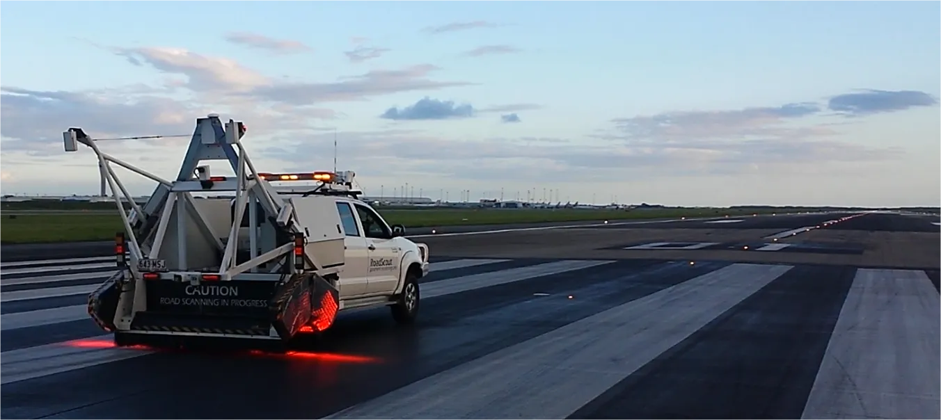
    When it comes to runways, there are few busier then Brisbane’s main runway. Servicing both domestic and international travel, with over 200,000 movements per year, operating without a curfew Brisbane’s main runway is the busiest in Australia. For maintenance, crews only have a limited period of time to determine the pavement condition, normally during the night, making the detection of pavement faults difficult. To resolve this issue, a new high speed pavement scanner was used to rapidly survey the pavem
  • Accurate positioning with Leica Geosystems
    June 19, 2017
    The new Zeno GG04 smart antenna from Leica Geosystems is said to increase access to GIS and boost tracking performance. This is said to deliver a versatile solution that can improve the accuracy of GNSS mobile devices with real-time Kinematic (RTK) and precise point positioning (PPP). Paired with the Zeno GG04, any Zeno or third party mobile device with Android or Windows OS can now collect precise positioning data with Leica Geosystems’ GNSS technology and 555-channel tracking performance. With PPP, users