It’s a level playing field with Leica’s iCON gps 70 Series

Efficiency is the name of the game from the iCON gps 70 Series, a GNSS rover from Leica Geosystems. With the iCON gps 70 T you can measure and stakeout points faster and without the need to keep the pole vertical and level the bubble. The combination of the latest GNSS technology and inertial measurement unit (IMU) equips the iCON gps 70 T with permanent tilt compensation and makes it resistant to any magnetic interference. Because the iCON gps 70 T is calibration-free, it can be ready instantly and any
April 27, 2018 Read time: 2 mins
Leica’s iCON gps 70: no need to keep the pole vertical and level the bubble

Efficiency is the name of the game from the iCON gps 70 Series, a GNSS rover from Leica Geosystems.

With the iCON gps 70 T you can measure and stakeout points faster and without the need to keep the pole vertical and level the bubble.

The combination of the latest GNSS technology and inertial measurement unit (IMU) equips the iCON gps 70 T with permanent tilt compensation and makes it resistant to any magnetic interference.

Because the iCON gps 70 T is calibration-free, it can be ready instantly and anywhere that it is needed.

The on-site operator can collect as-built field data and stake out designs faster while increasing accuracy and reduced errors. This also allows the operative to focus more on his or her safety in a hazardous environment.

The iCON gps 70 series is seamlessly integrated into the Leica iCON field software. By keeping the core central interface, following the unrivalled Leica iCON concept, the onsite operative can benefit from the simple-to-use workflows which require less training and avoid costly downtime.

The GNNSS technology allows 555 channels for more signals, faster acquisition
and improved sensitivity.

To ensure accuracy and continued use, the unit is IP66 / IP68 protected. It is also built for extreme temperatures of -40°C to +65°C.

Related Content

  • Technology helps earth moving and paving
    August 18, 2014
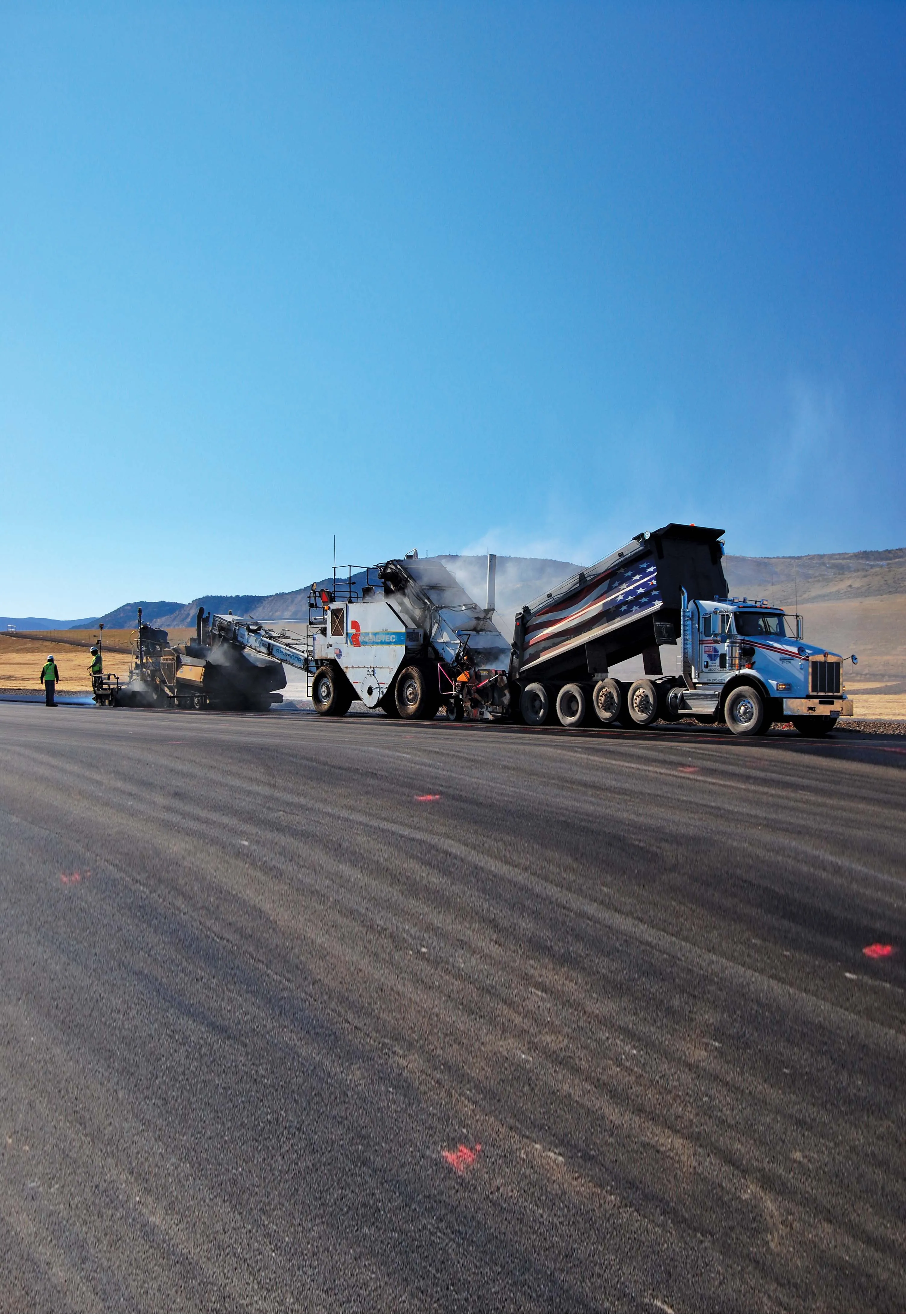
    Located in Meeker, Colorado and serving the area for air transportation is Meeker Airport, a C-II general aviation airport. The FAA designation of C-II means the airport can accommodate aircraft with wingspan of less than 24m. Runway 3-21 at the Rio Blanco county-owned Meeker Airport had reached a point of wear and deterioration that required full reconstruction and upgrades to remain compliant with the FAA’s C-II requirements.
  • Hemisphere GPS and Carlson Software's 'strategic' alliance
    March 2, 2012
    US firms Hemisphere GPS and Carlson Software have formed a 'strategic alliance'. The move, according to the companies, will provide a roadmap for new, integrated solutions for land survey, mapping, construction, mining and other key machine control markets.
  • Accurate asphalt compaction
    July 21, 2022
    The latest compaction package from Trimble helps to deliver a quality surface more quickly and efficiently. According to the firm, the system allows operators to accurately control the compaction process, while reducing unnecessary passes that can result in over compaction.
  • Dowel bar drilling selection poses challenges
    January 11, 2013
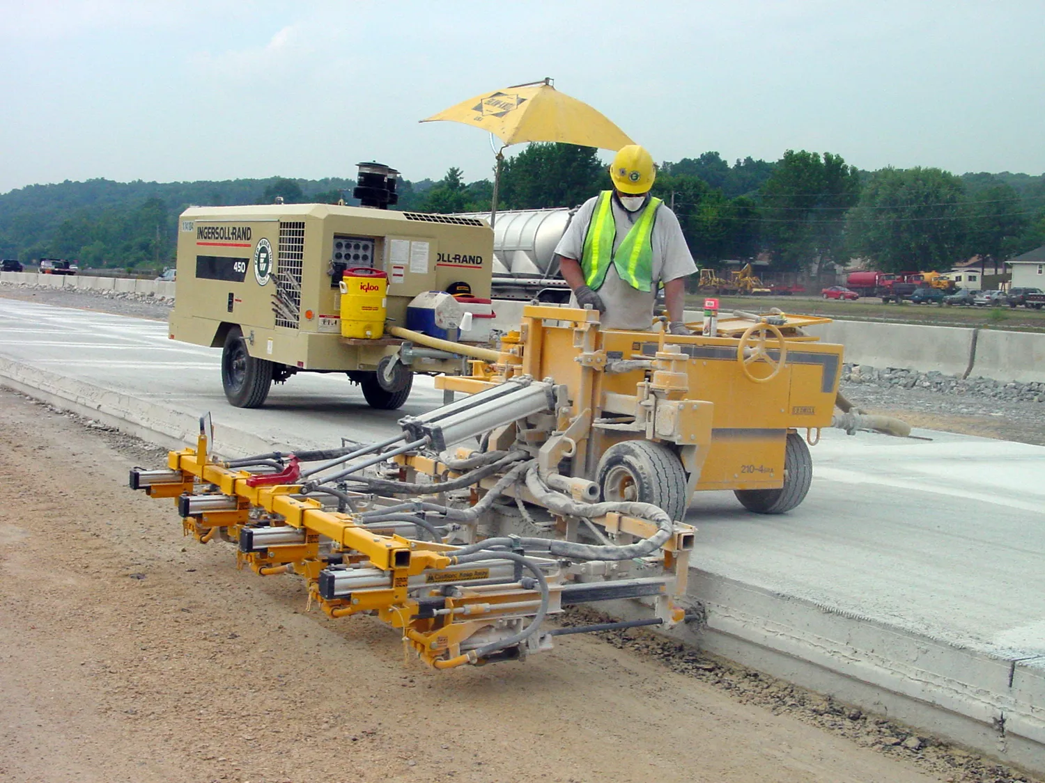
    Pneumatic concrete dowel drills have one purpose – to drill holes. While their intended use is easy to recognize, operation of this equipment isn’t quite so simple. In fact, it’s a bit of a science. That’s not to say they’re difficult to operate. But there are certain best practices and processes to keep in mind for proper drill operation, whether it’s an on-grade, slab-rider or equipment-mounted model. Operators who adopt these guidelines and implement them on every job are rewarded with better performance