It’s a level playing field with Leica’s iCON gps 70 Series

Efficiency is the name of the game from the iCON gps 70 Series, a GNSS rover from Leica Geosystems. With the iCON gps 70 T you can measure and stakeout points faster and without the need to keep the pole vertical and level the bubble. The combination of the latest GNSS technology and inertial measurement unit (IMU) equips the iCON gps 70 T with permanent tilt compensation and makes it resistant to any magnetic interference. Because the iCON gps 70 T is calibration-free, it can be ready instantly and any
April 27, 2018 Read time: 2 mins
Leica’s iCON gps 70: no need to keep the pole vertical and level the bubble

Efficiency is the name of the game from the iCON gps 70 Series, a GNSS rover from Leica Geosystems.

With the iCON gps 70 T you can measure and stakeout points faster and without the need to keep the pole vertical and level the bubble.

The combination of the latest GNSS technology and inertial measurement unit (IMU) equips the iCON gps 70 T with permanent tilt compensation and makes it resistant to any magnetic interference.

Because the iCON gps 70 T is calibration-free, it can be ready instantly and anywhere that it is needed.

The on-site operator can collect as-built field data and stake out designs faster while increasing accuracy and reduced errors. This also allows the operative to focus more on his or her safety in a hazardous environment.

The iCON gps 70 series is seamlessly integrated into the Leica iCON field software. By keeping the core central interface, following the unrivalled Leica iCON concept, the onsite operative can benefit from the simple-to-use workflows which require less training and avoid costly downtime.

The GNNSS technology allows 555 channels for more signals, faster acquisition
and improved sensitivity.

To ensure accuracy and continued use, the unit is IP66 / IP68 protected. It is also built for extreme temperatures of -40°C to +65°C.

Related Content

  • Silver Star marries a Topcon GPS system to a Power Curber 5700-C
    January 19, 2016
    In the US state of Oklahoma, Silver Star Construction has adopted 3D technology for site modelling and stringless machine control The company, based in the town of Moore, recently used a Topcon Millimeter GPS system mounted on one of their Power Curber 5700-Cs to put down nearly 5,500m of curb and gutter in a residential housing addition in south-west Oklahoma City. Once the dirt work and grading was completed, the concrete crew got to work by mounting the Topcon receivers on their 5700-C. The Topcon
  • Sokkia’s accurate surveying tool
    April 24, 2019
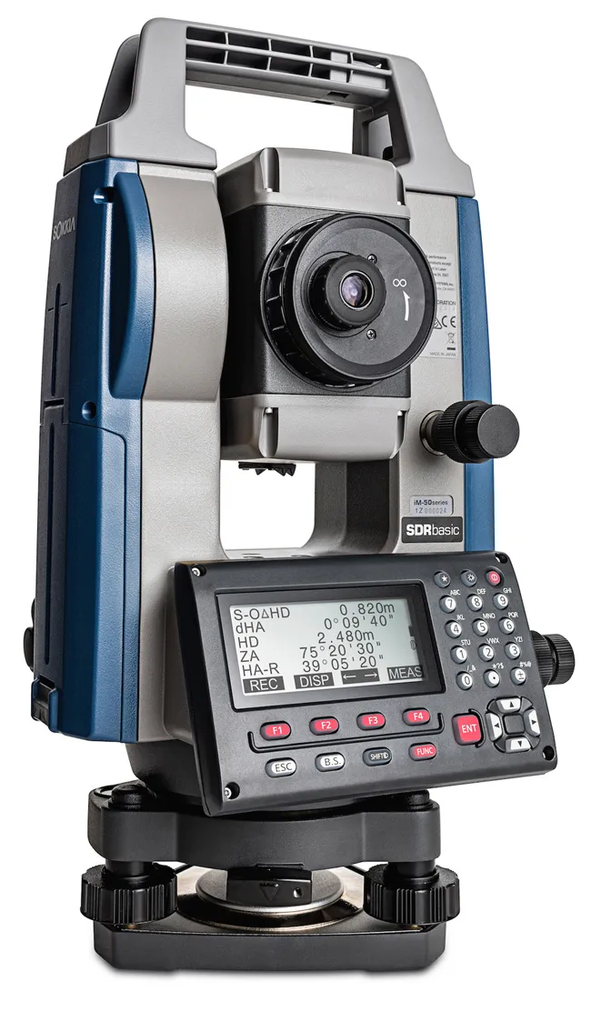
    Sokkia has widened its iM line of manual total stations with the introduction of the iM-50. The firm says that the tool can be used for jobs such as site layout or as-built survey and claims that the unit delivers high-end performance and functionality. The iM-50 EDM features a prism range of up to 4,000m and up to 500m in reflectorless mode with a 1.5 mm/ 2ppm accuracy. The company claims that the beam can measure walls, corners, manholes on the road surface, even chain-link fences and tree branches
  • Traffic Group reduces ‘lights out’ scenario
    November 22, 2023

    Responding to the challenging radio environment at temporary traffic signal sites, Traffic Group Signals has improved the performance of its Active Channel Management (ACM) technology.

    Traffic Group Signals is a major UK manufacturer of advanced portable and temporary traffic signal products. According to the company, with the rise in radio usage for on-site communications, telemetry and automation, the frequencies in which temporary traffic signals operate are more congested than ever.

  • Traffic Group reduces ‘lights out’ scenario
    August 10, 2023
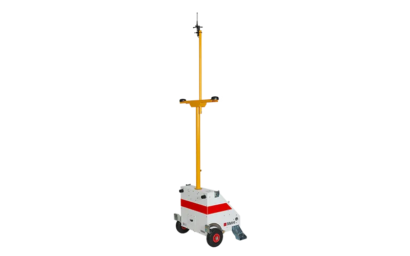
    Traffic Group Signals, a UK maker of advanced portable and temporary traffic signal products, has boosted performance of its Metro Pro- and Evo1 Pro-enabled temporary traffic signals.