It’s a level playing field with Leica’s iCON gps 70 Series

Efficiency is the name of the game from the iCON gps 70 Series, a GNSS rover from Leica Geosystems. With the iCON gps 70 T you can measure and stakeout points faster and without the need to keep the pole vertical and level the bubble. The combination of the latest GNSS technology and inertial measurement unit (IMU) equips the iCON gps 70 T with permanent tilt compensation and makes it resistant to any magnetic interference. Because the iCON gps 70 T is calibration-free, it can be ready instantly and any
April 27, 2018 Read time: 2 mins
Leica’s iCON gps 70: no need to keep the pole vertical and level the bubble

Efficiency is the name of the game from the iCON gps 70 Series, a GNSS rover from Leica Geosystems.

With the iCON gps 70 T you can measure and stakeout points faster and without the need to keep the pole vertical and level the bubble.

The combination of the latest GNSS technology and inertial measurement unit (IMU) equips the iCON gps 70 T with permanent tilt compensation and makes it resistant to any magnetic interference.

Because the iCON gps 70 T is calibration-free, it can be ready instantly and anywhere that it is needed.

The on-site operator can collect as-built field data and stake out designs faster while increasing accuracy and reduced errors. This also allows the operative to focus more on his or her safety in a hazardous environment.

The iCON gps 70 series is seamlessly integrated into the Leica iCON field software. By keeping the core central interface, following the unrivalled Leica iCON concept, the onsite operative can benefit from the simple-to-use workflows which require less training and avoid costly downtime.

The GNNSS technology allows 555 channels for more signals, faster acquisition
and improved sensitivity.

To ensure accuracy and continued use, the unit is IP66 / IP68 protected. It is also built for extreme temperatures of -40°C to +65°C.

Related Content

  • Dutch road widening benefits from 3D software
    February 24, 2012
    Modern software is stretching traditional design boundaries on a motorway widening in the Netherlands, reports Adrian Greeman There was a time when civil engineering and aesthetics did not mix too well, especially on roads. The artistic ideas of an architect did not blend with the stringent requirements of structure. But modern three-dimensional modelling software is helping this change. Design notions that might have been overly complicated in the past are now attainable with hi-tech analysis tools.
  • Pavetest targets China with new dynamic testing machine
    April 28, 2015
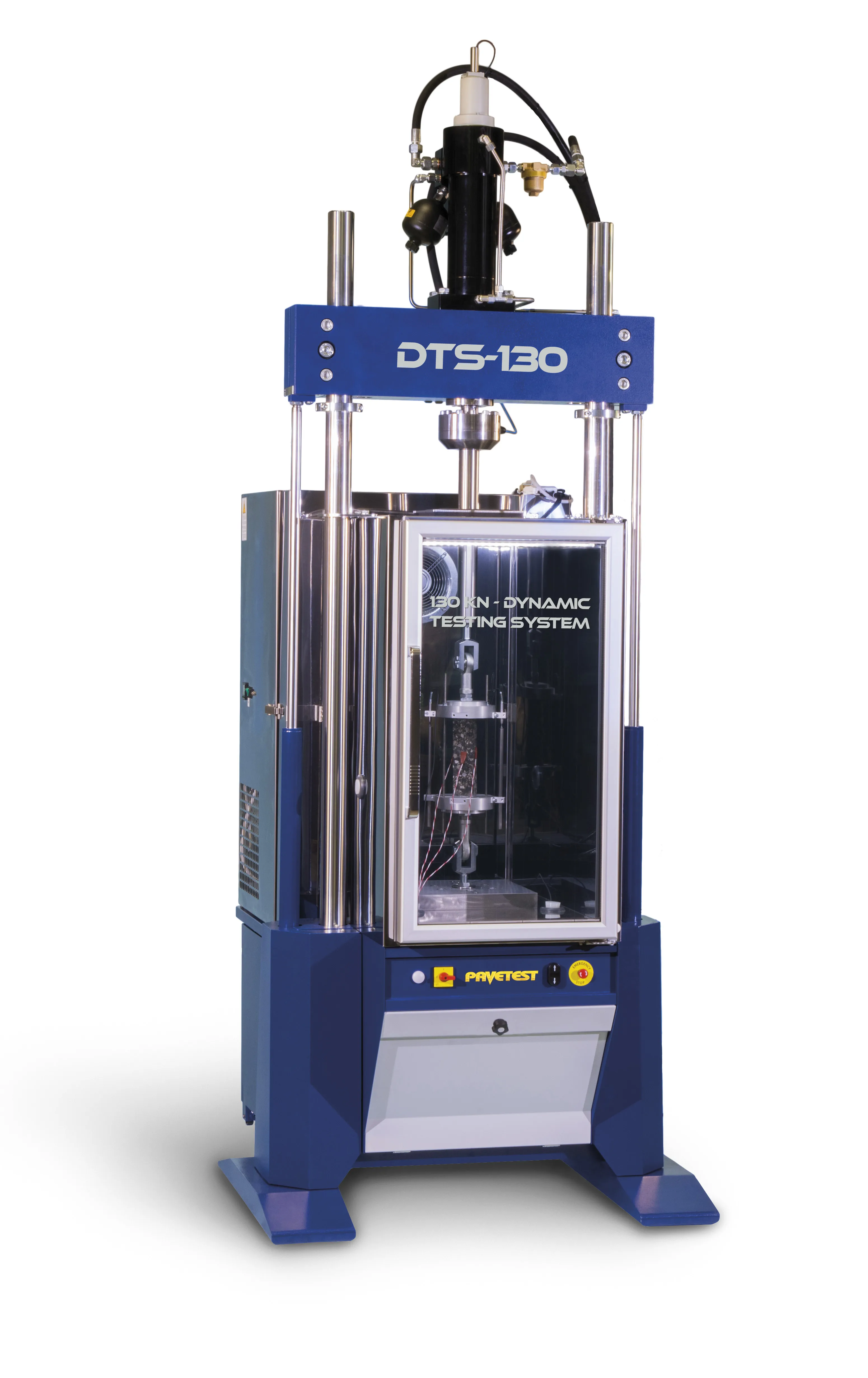
    Matest subsidiary Pavetest has launched the DTS-130, a 130kN servo-hydraulic dynamic testing system. The machine allows large asphalt specimens to be tested at temperatures down to -50oC and has been developed with the Chinese market in mind. “This size of machine has become pretty much the standard in China for historic reasons,” explained Pavetest managing director and founder Con Sinadinos. “I would estimate that 90% of this size of machine that are sold goes to China.” While the size of the machin
  • Extended Traffic Control in 2014 and beyond
    April 3, 2014
    One leading traffic control solution company has announced a major acquisition to broaden its customer offer, while the delivery of an ambitious real-time journey information service for Scotland’s motorists is well on track. Guy Woodford reports Kapsch’s TrafficCom says its high-profile recent US$16 million acquisition of Transdyn will enable it to offer current and future customers worldwide an extended end-to-end product and solution portfolio for intelligent transport systems (ITS). The acquisitio
  • Lighting innovations boosting brightness, cutting costs
    January 27, 2014
    CU Phosco’s new P850 LED main road lantern has just seen its first major deployment – between Junctions 16 and 17 of the A55, a strategic road which skirts the North Wales coastline – Jason Barnes reports The A55 is a grade-separated dual carriageway also known as the North Wales Expressway. Some 139km long, it originally ran from Chester to Bangor but was extended across the Isle of Anglesey into Holyhead Docks in 2001 under a project part-funded by the European Union.