It’s a level playing field with Leica’s iCON gps 70 Series

Efficiency is the name of the game from the iCON gps 70 Series, a GNSS rover from Leica Geosystems. With the iCON gps 70 T you can measure and stakeout points faster and without the need to keep the pole vertical and level the bubble. The combination of the latest GNSS technology and inertial measurement unit (IMU) equips the iCON gps 70 T with permanent tilt compensation and makes it resistant to any magnetic interference. Because the iCON gps 70 T is calibration-free, it can be ready instantly and any
April 27, 2018 Read time: 2 mins
Leica’s iCON gps 70: no need to keep the pole vertical and level the bubble

Efficiency is the name of the game from the iCON gps 70 Series, a GNSS rover from Leica Geosystems.

With the iCON gps 70 T you can measure and stakeout points faster and without the need to keep the pole vertical and level the bubble.

The combination of the latest GNSS technology and inertial measurement unit (IMU) equips the iCON gps 70 T with permanent tilt compensation and makes it resistant to any magnetic interference.

Because the iCON gps 70 T is calibration-free, it can be ready instantly and anywhere that it is needed.

The on-site operator can collect as-built field data and stake out designs faster while increasing accuracy and reduced errors. This also allows the operative to focus more on his or her safety in a hazardous environment.

The iCON gps 70 series is seamlessly integrated into the Leica iCON field software. By keeping the core central interface, following the unrivalled Leica iCON concept, the onsite operative can benefit from the simple-to-use workflows which require less training and avoid costly downtime.

The GNNSS technology allows 555 channels for more signals, faster acquisition
and improved sensitivity.

To ensure accuracy and continued use, the unit is IP66 / IP68 protected. It is also built for extreme temperatures of -40°C to +65°C.

Related Content

  • Canadian manufacturer of remote-controlled GOTCHA! eyes Europe
    January 6, 2017
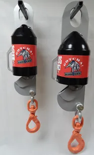
    With a brief but loud safety warning sound, one of the latest construction equipment inventions for sling operations drops its load, in this case a very light load. Daniel Hebert, vice president of the Canadian firm Crane Equipment.ca, was recently demonstrating the aptly-named GOTCHA! device that the Quebec-based company will be highlighting at the Intermat exhibition in Paris in April. GOTCHA! Is an automated sling release that uses a remote control to release loads being moved by crane. With the press
  • Traffic Group takes command
    June 7, 2023
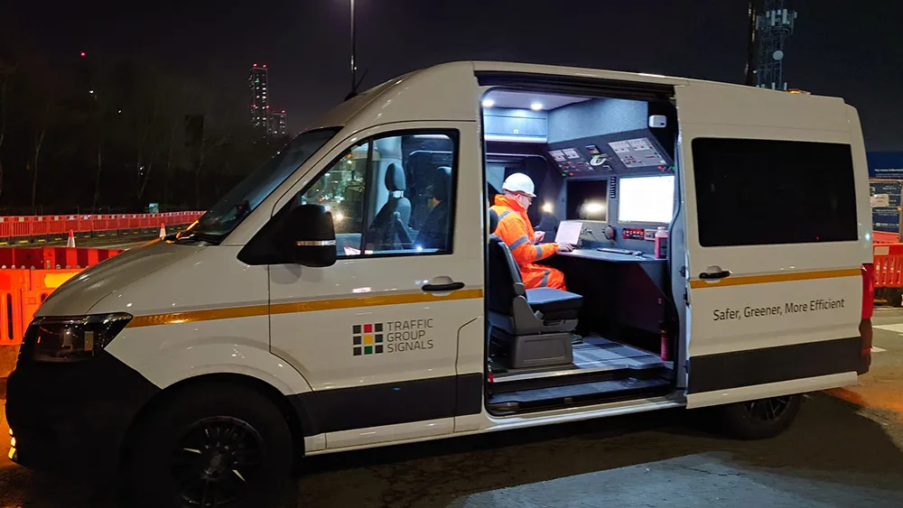
    Traffic Group Signals has taken delivery of a converted Volkswagen Crafter van for use as a mobile worksite command vehicle.
  • Accurate density measurement from HAMM
    May 15, 2025

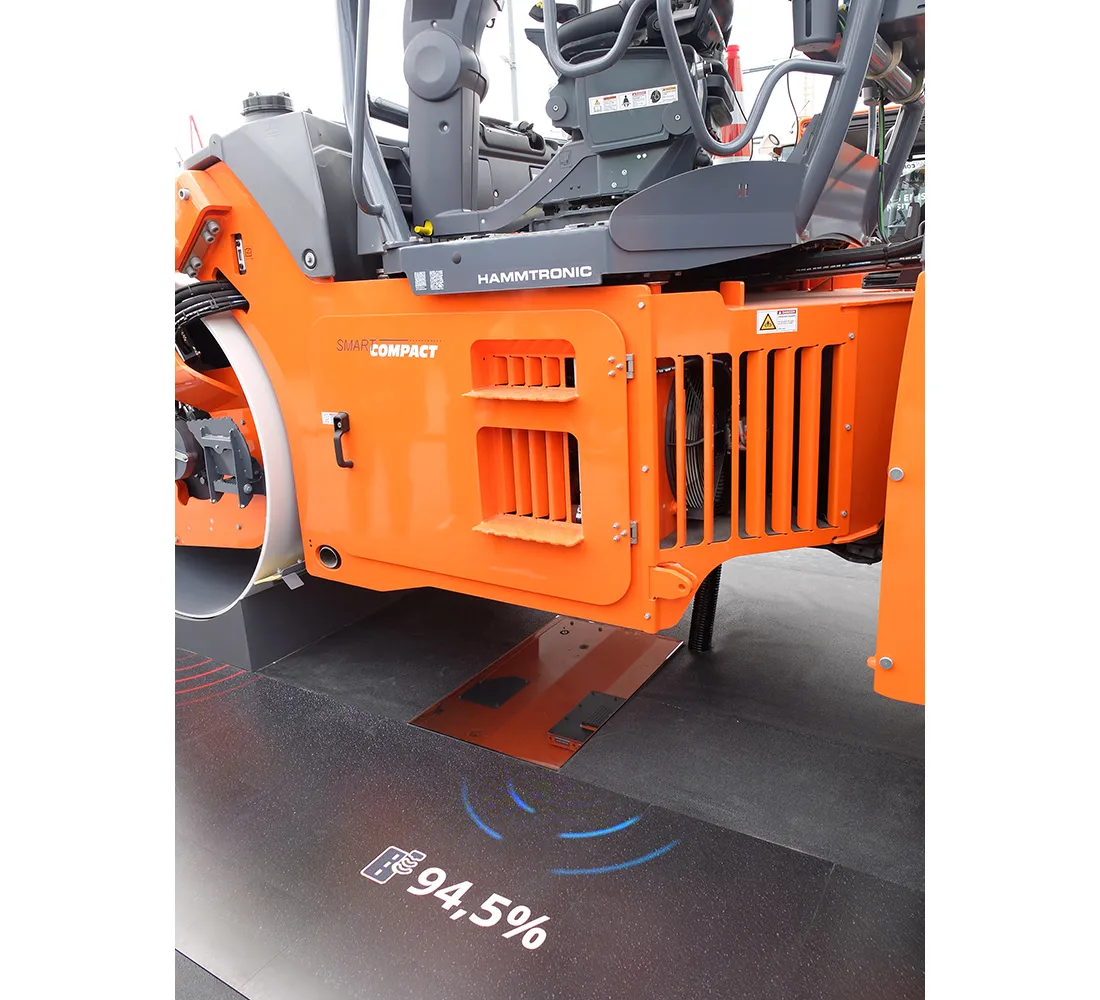
    The innovative Smart Compact Pro system developed by HAMM can measure density in real time as the asphalt compactor is operating. This revolutionary technology can help boost compaction productivity and quality. It ensures that there is none of the over-compaction that leads to increased fuel consumption and time worked. It also ensures that the mat meets required density specifications, boosting quality, without risking potential crushing of the aggregate.

  • Fast and accurate surveying
    February 28, 2012
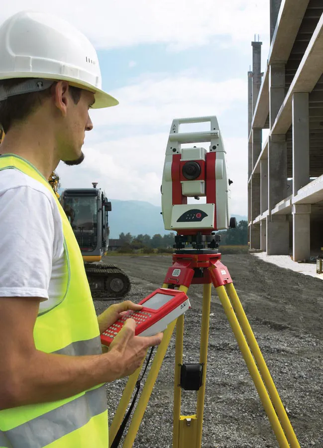
    According to Leica Geosystems, its new HDS6100 unit is an improved, ultra-high speed laser scanner for survey applications. The Leica HDS6100 features several upgrades over the earlier HDS6000 scanner being replaced. These include a 37% increase in the temperature range (now -10ºC to +45ºC), a battery life of 2.5 hours, an integrated wireless LAN (WLAN) scanner control option and reduced noise at ranges of 25-50m.