It’s a level playing field with Leica’s iCON gps 70 Series

Efficiency is the name of the game from the iCON gps 70 Series, a GNSS rover from Leica Geosystems. With the iCON gps 70 T you can measure and stakeout points faster and without the need to keep the pole vertical and level the bubble. The combination of the latest GNSS technology and inertial measurement unit (IMU) equips the iCON gps 70 T with permanent tilt compensation and makes it resistant to any magnetic interference. Because the iCON gps 70 T is calibration-free, it can be ready instantly and any
April 27, 2018 Read time: 2 mins
Leica’s iCON gps 70: no need to keep the pole vertical and level the bubble

Efficiency is the name of the game from the iCON gps 70 Series, a GNSS rover from Leica Geosystems.

With the iCON gps 70 T you can measure and stakeout points faster and without the need to keep the pole vertical and level the bubble.

The combination of the latest GNSS technology and inertial measurement unit (IMU) equips the iCON gps 70 T with permanent tilt compensation and makes it resistant to any magnetic interference.

Because the iCON gps 70 T is calibration-free, it can be ready instantly and anywhere that it is needed.

The on-site operator can collect as-built field data and stake out designs faster while increasing accuracy and reduced errors. This also allows the operative to focus more on his or her safety in a hazardous environment.

The iCON gps 70 series is seamlessly integrated into the Leica iCON field software. By keeping the core central interface, following the unrivalled Leica iCON concept, the onsite operative can benefit from the simple-to-use workflows which require less training and avoid costly downtime.

The GNNSS technology allows 555 channels for more signals, faster acquisition
and improved sensitivity.

To ensure accuracy and continued use, the unit is IP66 / IP68 protected. It is also built for extreme temperatures of -40°C to +65°C.

Related Content

  • Alberta’s peaceful partnership
    May 4, 2020
    A bridge project in northern Canada threw up some unexpected challenges, reports David Arminas, from the banks of the Peace River in Alberta
  • Site safety system benefit
    September 14, 2022
    Leica Geosystems says that its new safety awareness module can reduce risks on working construction sites. The Leica ConX Safety Awareness Module forms part of the firm’s Leica ConX cloud solution. According to the company, the integration of Leica Geosystems’ safety awareness solutions with ConX increases safety on construction sites by collecting and visualising data that improves awareness, speeds up hazard response and provides better insights.
  • Innovations in earthmoving
    May 13, 2024
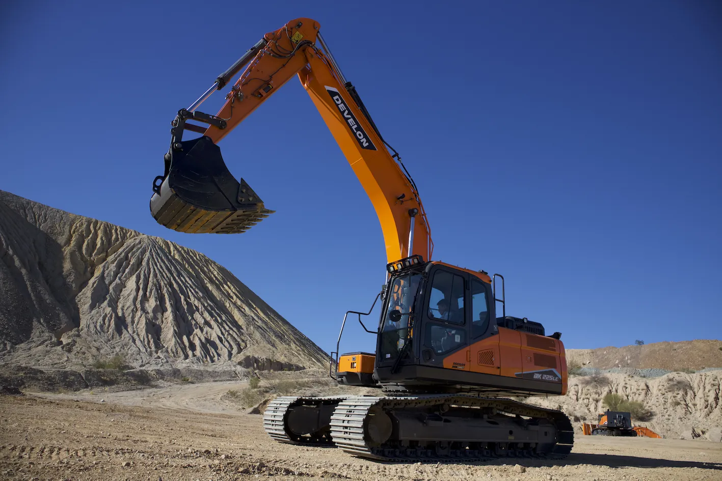
    New innovations for the crawler excavator market will boost productivity as well as sustainability – Mike Woof writes
  • Opsys launches ALTOS at Curiosity Lab
    November 18, 2024
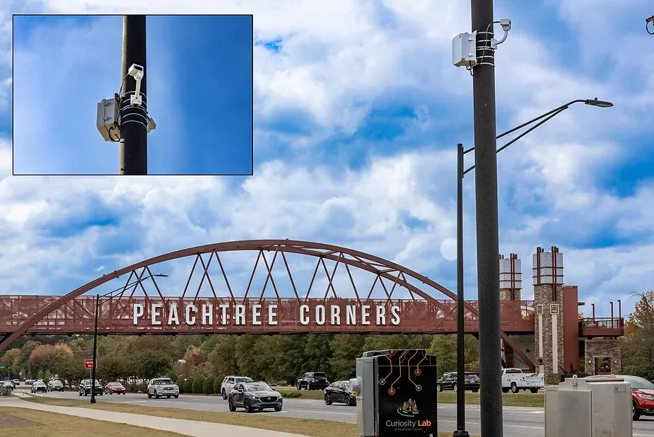
    Opsys said that, as a pure solid-state LiDAR, the ALTOS Gen 2 has no moving parts and will be deployed at Curiosity Lab in the US city of Peachtree Corners to provide real-time data on traffic flow and pedestrian movements.