It’s a level playing field with Leica’s iCON gps 70 Series

Efficiency is the name of the game from the iCON gps 70 Series, a GNSS rover from Leica Geosystems. With the iCON gps 70 T you can measure and stakeout points faster and without the need to keep the pole vertical and level the bubble. The combination of the latest GNSS technology and inertial measurement unit (IMU) equips the iCON gps 70 T with permanent tilt compensation and makes it resistant to any magnetic interference. Because the iCON gps 70 T is calibration-free, it can be ready instantly and any
April 27, 2018 Read time: 2 mins
Leica’s iCON gps 70: no need to keep the pole vertical and level the bubble

Efficiency is the name of the game from the iCON gps 70 Series, a GNSS rover from Leica Geosystems.

With the iCON gps 70 T you can measure and stakeout points faster and without the need to keep the pole vertical and level the bubble.

The combination of the latest GNSS technology and inertial measurement unit (IMU) equips the iCON gps 70 T with permanent tilt compensation and makes it resistant to any magnetic interference.

Because the iCON gps 70 T is calibration-free, it can be ready instantly and anywhere that it is needed.

The on-site operator can collect as-built field data and stake out designs faster while increasing accuracy and reduced errors. This also allows the operative to focus more on his or her safety in a hazardous environment.

The iCON gps 70 series is seamlessly integrated into the Leica iCON field software. By keeping the core central interface, following the unrivalled Leica iCON concept, the onsite operative can benefit from the simple-to-use workflows which require less training and avoid costly downtime.

The GNNSS technology allows 555 channels for more signals, faster acquisition
and improved sensitivity.

To ensure accuracy and continued use, the unit is IP66 / IP68 protected. It is also built for extreme temperatures of -40°C to +65°C.

Related Content

  • Smarter compaction technology in use in Missouri
    October 2, 2018
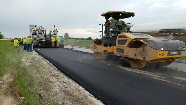
    Intelligent compaction and infrared scanning technologies have been used to improve construction quality The Missouri Department of Transportation (MoDOT) carried out a year-long project throughout 2017 to demonstrate the use of intelligent compaction (IC), infrared scanning (IR), and Veta software to improve pavement construction operations. “We were looking for ways to assess quality in asphalt projects,” said Bill Stone, research administrator at MoDOT. “We are working towards better pavements that l
  • CEA conference 2018 – focusing on technology solutions
    May 2, 2018
    New technology and reduced machine emissions were amongst the key topics at the CEA conference in London - Mike Woof writes. Construction machine manufacturers are going to have to find new solutions if targets on emissions controls are going to be met. This is a clear viewpoint for the industry. But as the speakers at the recent CEA conference in London showed, there are differing opinions on how that will be achieved and what technical solutions will come to the fore. Duncan Riding, business development
  • Seeing is believing: Bomag’s Digital Field Service
    April 27, 2018
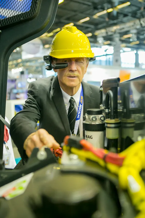
    Bomag is customer-testing a new Digital Field Service has the potential to redefine onsite maintenance … globally. The focus here is not digitisation for its own sake. Rather, it is an attempt to reduce downtime by linking a maintenance operator on site, wearing a construction hard hat with a built-in camera and a “heads up” mini-screen in view, remotely guided by a Bomag expert back at the company’s headquarters. Problems on site can be talked through, whether the machine is 1km or 1,000km away. Bomag
  • Trimble announces key technology developments
    January 24, 2019
    Trimble is expanding its range of machine control technology options for users of graders and excavators with key new releases. One is for the LOADRITE Payload Management system, which can now be utilised on excavators already equipped with the Trimble Earthworks Grade Control Platform. The other systems are new versions of the Trimble Earthworks Grade Control Platform that can be used with graders or deliver automatic guidance for tiltrotators. These are key developments for the firm, boosting its ran