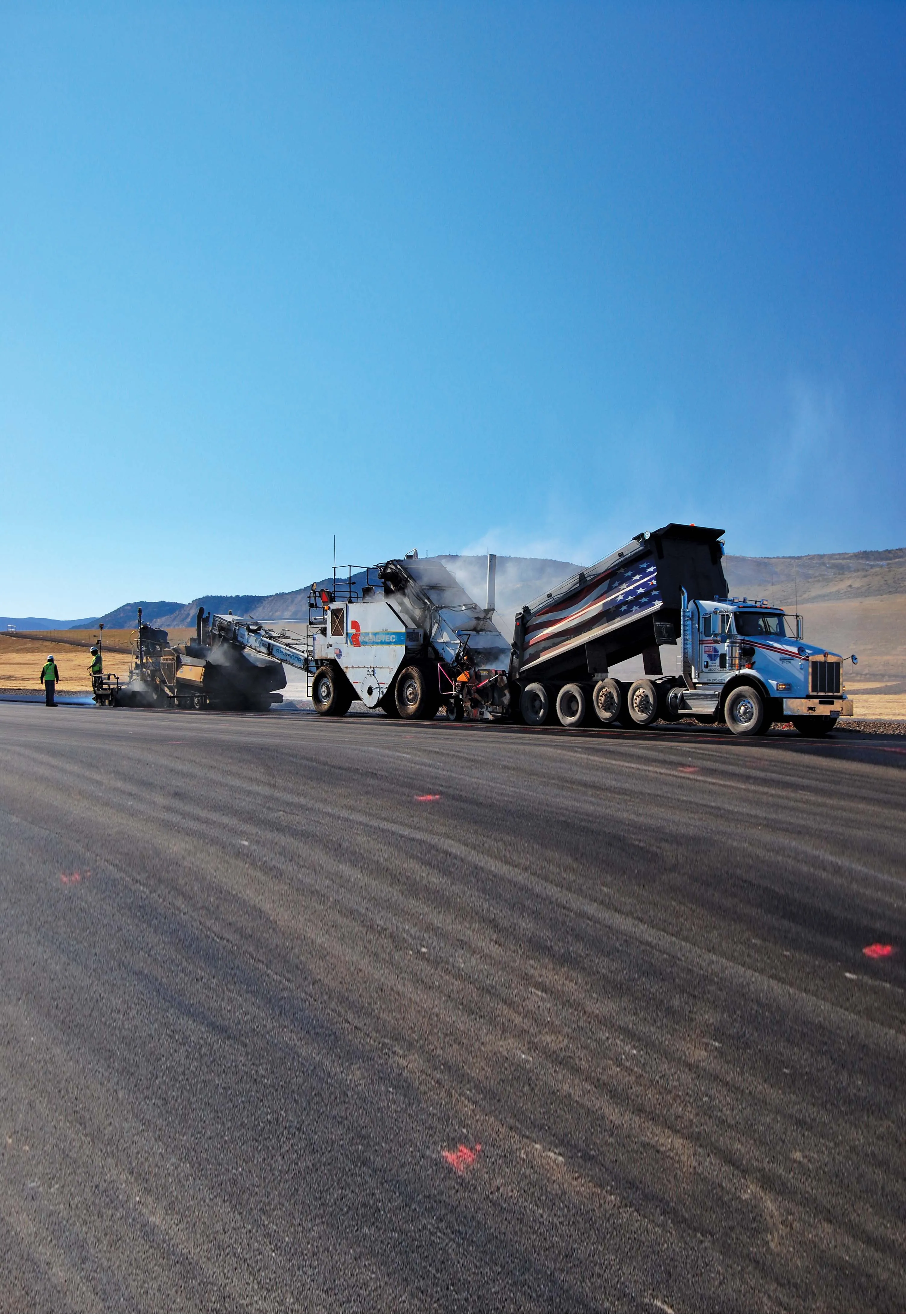
A self-contained, ground penetrating radar system (GPR) is now available from US Radar. The system is said to be technologically-advanced and simple to use, with a touch screen operating system and a variety of antenna frequency options. The Seeker GPR can be used in numerous surface materials such as soil, clay, concrete and brick. It integrates a complete imaging system into a single unit and can be used in application such as underground construction, road and bridge building, structural and civil engine

A self-contained, ground penetrating radar system (GPR) is now available from 2330 US Radar. The system is said to be technologically-advanced and simple to use, with a touch screen operating system and a variety of antenna frequency options. The Seeker GPR can be used in numerous surface materials such as soil, clay, concrete and brick. It integrates a complete imaging system into a single unit and can be used in application such as underground construction, road and bridge building, structural and civil engineering and underground utility works.
The system transmits energy pulses and is able to display an image of the sub-surface on the operator interface. Users can set a range of parameters such as soil type or display colours using the touch screen before each survey to boost efficiency, while the system can also be set to focus on a particular depth range. Five antenna frequency options are offered, which meets a broad range of detection needs and these are said to be easily interchangeable. The highest resolution option, 2,000MHz, can detect to depths up to 457mm and see the smallest objects, such as fine wire and cracks in concrete. At a lower resolution, the 1,000MHz setting detects slightly larger objects including rebar and wire mesh in depths up to 1.07m. The versatile unit, the 500 MHz, offers a detection depth up to 4.7m and can be used
to recognise soil disturbances, and find large and small pipes and cables. The 250MHz and 100MHz options can see up to 9.14 and 30.5m, respectively, and can detect large objects such as bedrock and big pipes.