
Intelligent drone solution

By MJ Woof September 19, 2024 Read time: 2 mins
A Smart Construction drone package offers the chance for efficient recovery of site data

Earthmoving digital solutions specialist Smart Construction has provided the UK’s first ever demonstration of the sophisticated drone system to professionals from the construction and civil engineering sectors.

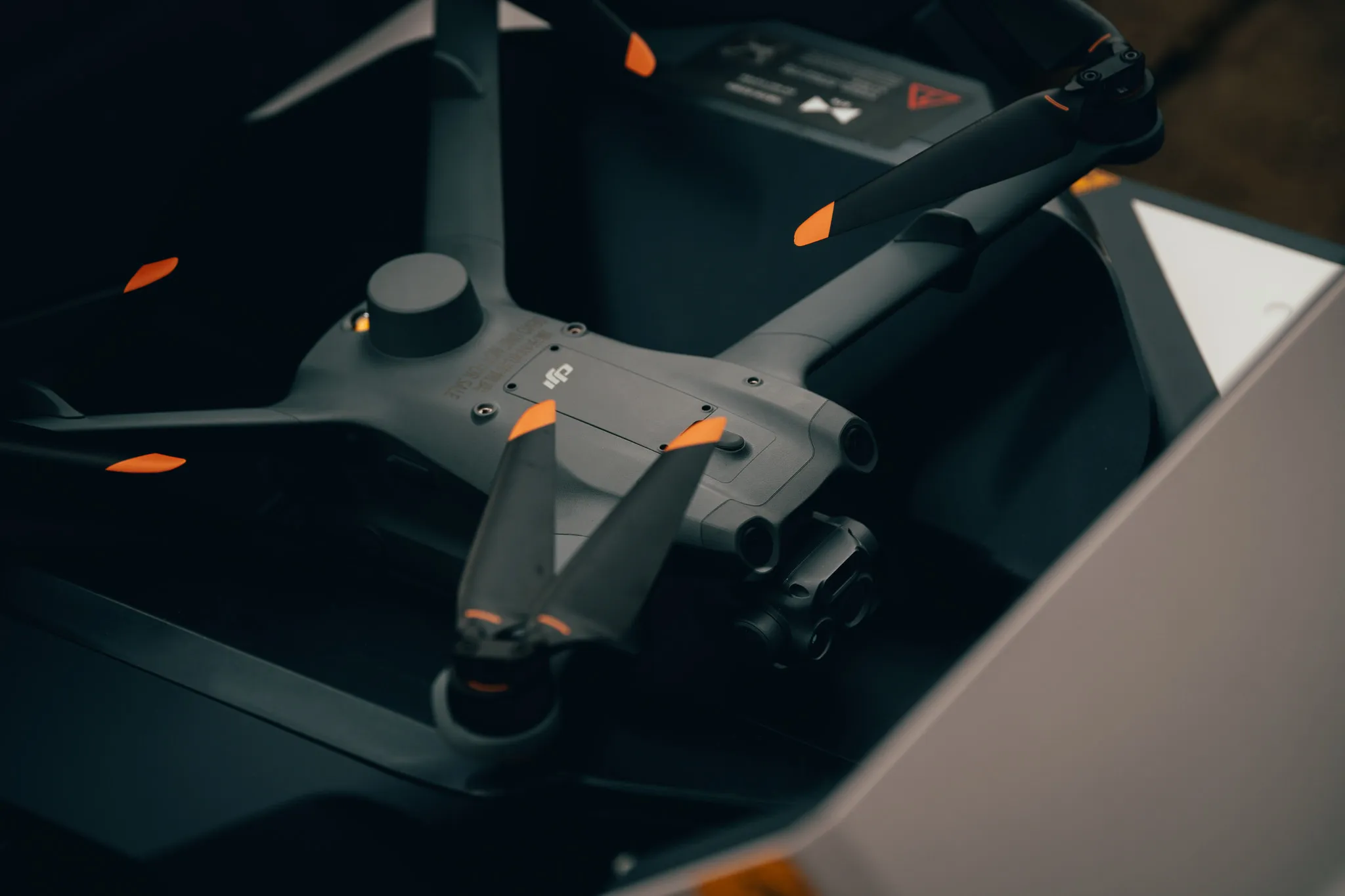
The Dock 2 is DJI's first dedicated drone in a box solution for surveying, allowing automated and remote deployment for round-the-clock and on-demand data collection.

This product can be supported by software such as Smart Construction’s Dashboard which uses as-built data to create a digital twin, enabling site managers, surveyors and other team members to measure progress, calculate volumes and control finished work within a collaborative platform.

The demonstration was held at the Smart Construction’s UK base in County Durham. Attendees were shown the DJI FlightHub 2 system as well as Smart Construction’s Edge 2 and Dashboard.

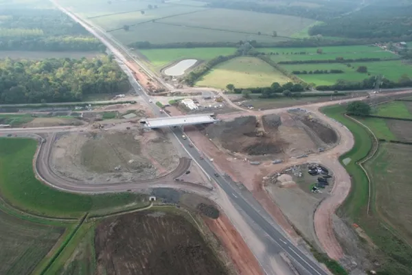
The launch was aimed at industry professionals to show how drone models can host smart technology and hardware to increase site safety, avoid obstacles and conduct efficient surveys.

Smart Construction also demonstrated its mixed solutions including its Edge system which is compatible with DJI drones. Edge has accompanying hardware that is fitted to drone technology and used to process site data.

Richard Clement, deputy general manager of Smart Construction, said: This launch is a UK first and will help to modernise the earthmoving industry. We’re excited to roll this out into the industry during a pivotal time of change as digital solutions become common practice.

“Drone technology will revitalise the earthmoving industry by increasing productivity, avoiding data black holes, and allowing virtual data to be presented live in real-time.”

Ruairi Hardman, business development manager, at heliguy added: ‘It was the perfect backdrop to showcase the Dock 2's capabilities for the construction sector.”

heliguy is a DJI Dock partner and helps organisations integrate drone technology into their workflows. Lifetime support includes consultancy, site surveys and software partnerships. 
 

Related Content

  • Smart constructioon with GIS, GPS design technology
    May 2, 2012
    A UK highway project has benefited from the latest software, GIS and GPS technology, Mike Woof reports. Sophisticated software, GIS and GPS technology has played an important role in a large highway upgrade project in the UK and helping to increase efficiency and drive down construction costs.
  • New tablet solution for Leica Geosystems
    December 12, 2018
    Leica Geosystems is now using the rugged ZX70 Android tablet from Getac as the hardware for its new Leica Zeno GG04 plus Tablet Solution. The new partnership allows Leica Geosystems to bring geospatial data collection capabilities to customers in all terrains and weather conditions such as utilities, public services, transportation and construction. Leica Geosystems has developed a range of new software and hardware including its Zeno Mobile data collection app and Zeno GG04 plus smart antenna to capture a
  • Motorway surveys for Spot the robotic dog
    March 1, 2024
    Spot, from Boston Dynamics, is being trialled by National Highways, BAM Ritchies - the ground engineering division of BAM Nuttall - and AECOM.
  • GPS guidance delivers accurate machine control
    July 12, 2012
    GPS systems for machine control can make massive reductions in operating costs for contractors. Using GPS systems for machine control can make massive reductions in operating costs for contractors and the pace of technology improvements from manufacturers has been rapid. This market segment is dominated by Leica Geosystems, Trimble and Topcon, all of which introduced an array of new products earlier this year. Topcon's dozer control system first seen in public at the Intermat show in Paris, offers notable c