Intelligent drone solution

By MJ Woof September 19, 2024 Read time: 2 mins
A Smart Construction drone package offers the chance for efficient recovery of site data

Earthmoving digital solutions specialist Smart Construction has provided the UK’s first ever demonstration of the sophisticated drone system to professionals from the construction and civil engineering sectors.

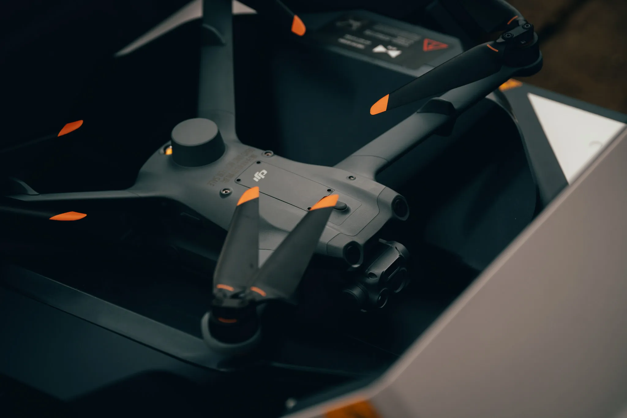
The Dock 2 is DJI's first dedicated drone in a box solution for surveying, allowing automated and remote deployment for round-the-clock and on-demand data collection.

This product can be supported by software such as Smart Construction’s Dashboard which uses as-built data to create a digital twin, enabling site managers, surveyors and other team members to measure progress, calculate volumes and control finished work within a collaborative platform.

The demonstration was held at the Smart Construction’s UK base in County Durham. Attendees were shown the DJI FlightHub 2 system as well as Smart Construction’s Edge 2 and Dashboard.

The launch was aimed at industry professionals to show how drone models can host smart technology and hardware to increase site safety, avoid obstacles and conduct efficient surveys.

Smart Construction also demonstrated its mixed solutions including its Edge system which is compatible with DJI drones. Edge has accompanying hardware that is fitted to drone technology and used to process site data.

Richard Clement, deputy general manager of Smart Construction, said: This launch is a UK first and will help to modernise the earthmoving industry. We’re excited to roll this out into the industry during a pivotal time of change as digital solutions become common practice.

“Drone technology will revitalise the earthmoving industry by increasing productivity, avoiding data black holes, and allowing virtual data to be presented live in real-time.”

Ruairi Hardman, business development manager, at heliguy added: ‘It was the perfect backdrop to showcase the Dock 2's capabilities for the construction sector.”

heliguy is a DJI Dock partner and helps organisations integrate drone technology into their workflows. Lifetime support includes consultancy, site surveys and software partnerships. 
 

Related Content

  • Drones in construction, the future of surveying?
    August 21, 2015
    It may be early days for using drones – unmanned aerial systems (UAS) -- to map construction sites, but technology and legislation are moving in that direction. At the moment drones can fly within only a 500m radius of the ‘pilot’ standing on the ground, making the flight area a 1km diameter. This is the key limiting issue for any sector, especially road construction, says Jonathan Gill, a robotics engineer and a qualified drone pilot for the past seven years.
  • Infrastructure intelligence plays key role in construction
    October 13, 2023
    Infrastructure intelligence is playing a key role in construction.
  • Software tools aid construction, reduce costs
    February 28, 2012
    Integrated construction software offers an effective planning solution - *Mark Nichols writes. In a world where resources are limited, 20 year designing and building in a sustainable way is more critical than ever. By employing today's software tools it is possible to reduce the total cost of construction of a new highway, while reducing operating costs and environmental impacts. The path to achieving the greatest gains is to take a holistic approach to the plan, design, construct and operate process from t
  • HxGN Live 2014: Hexagon CEO lays out firm’s machine control vision
    June 5, 2014
    Hexagon CEO and president Ola Rollén has outlined the company and its global brand network’s vision for the future of mining and construction machine control. Speaking during a Hexagon media luncheon Q&A during the four-day HxGN Live 2014 conference being staged at the MGM Grand Hotel in Las Vegas, Rollén emphasised the strength of Hexagon’s Mining Division which currently consists of Leica Geosystems surveying equipment; SAFEmine mine safety and collision avoidance systems; Devex and Leica Geosystems Minin